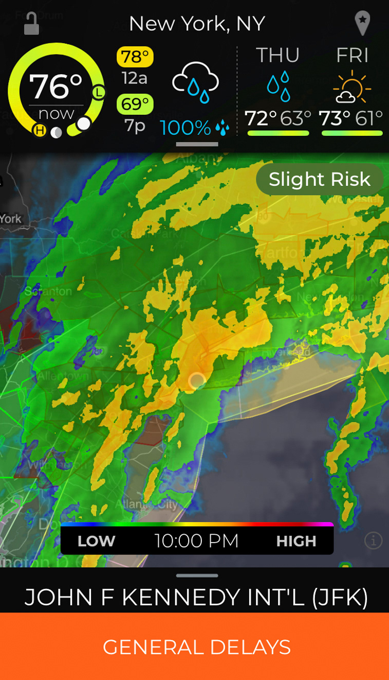
The scene from inside our plane on the tarmac of JFK airport as we waited and waited for the storm to clear.
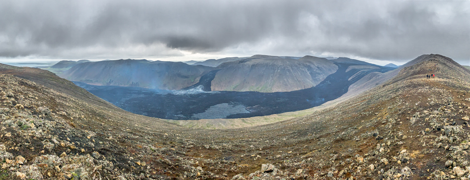
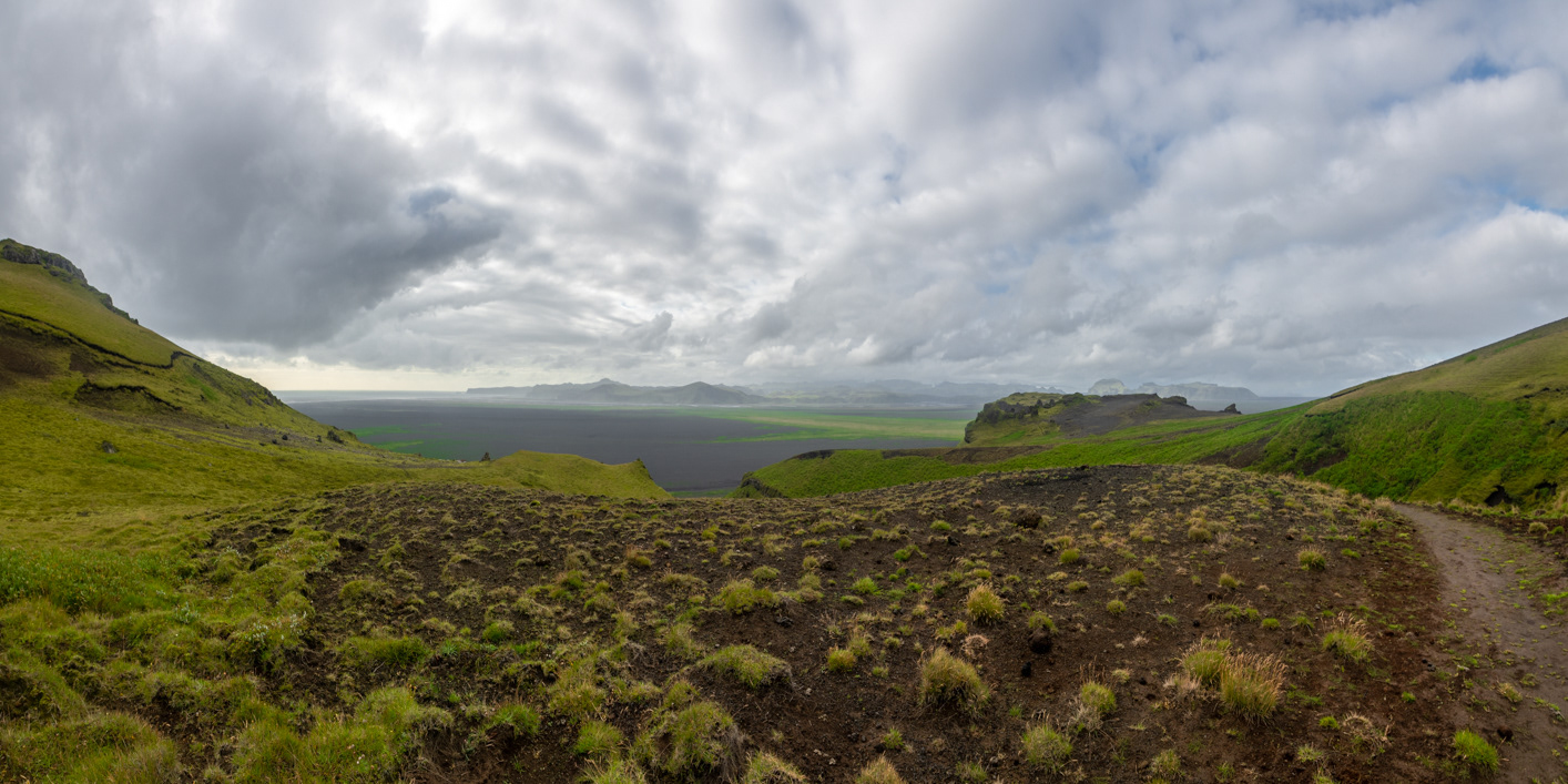
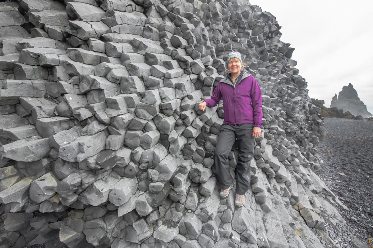
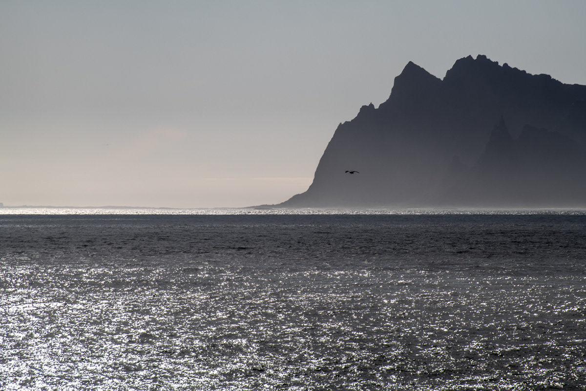
Route C looking at the Nátthagi lava field - Fagradalsfjall volcano, Reykjanes peninsula, Iceland
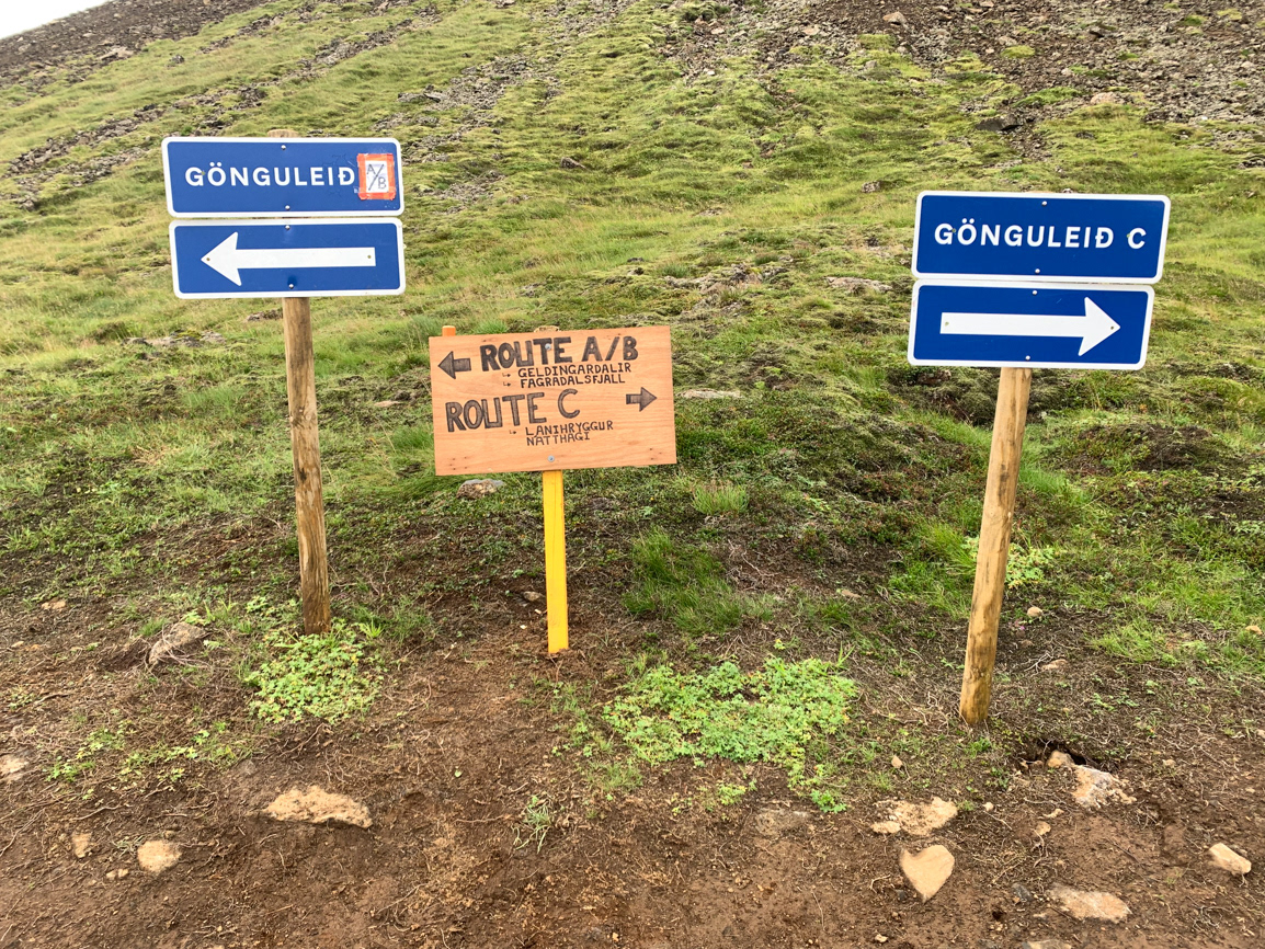
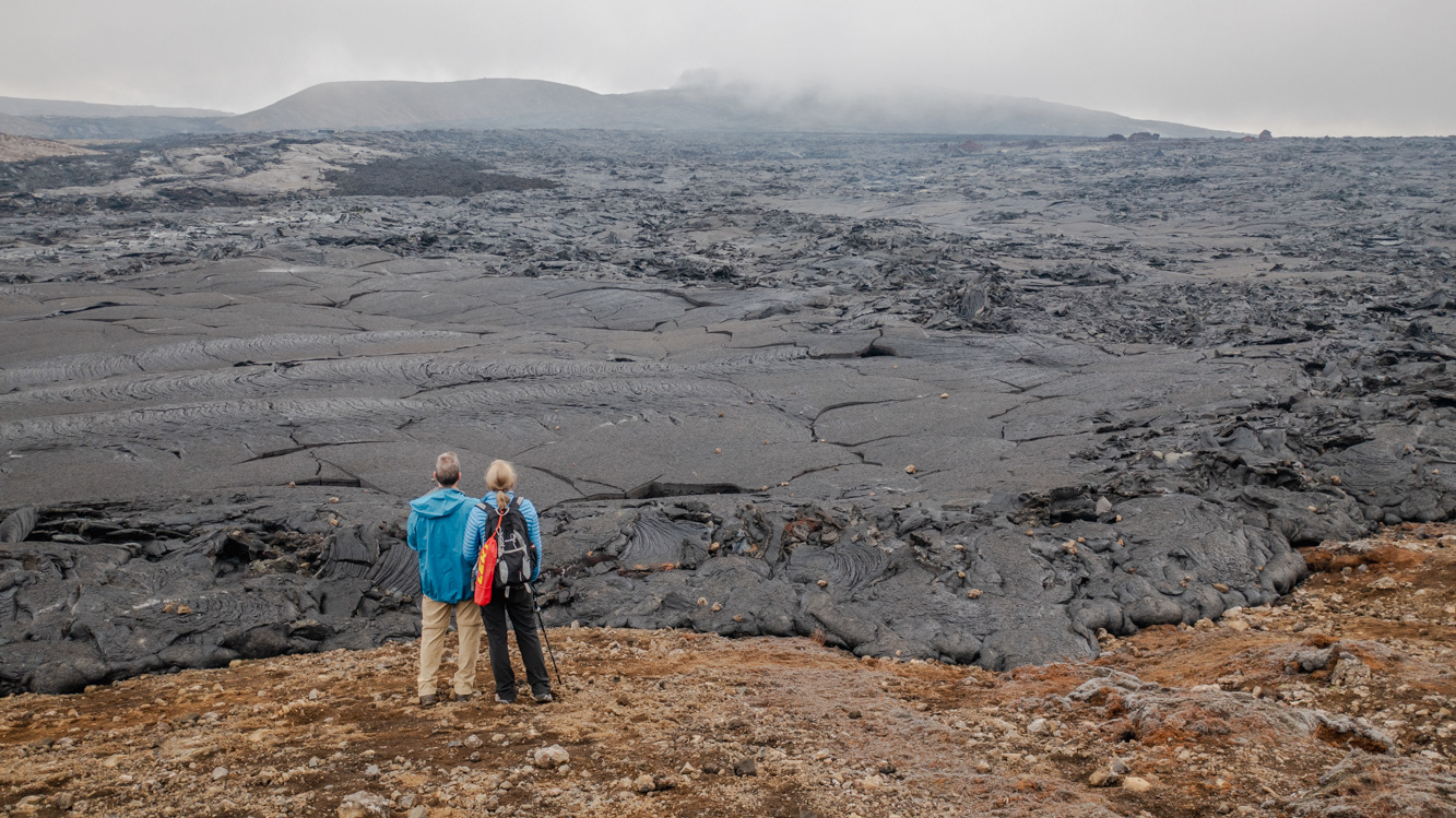
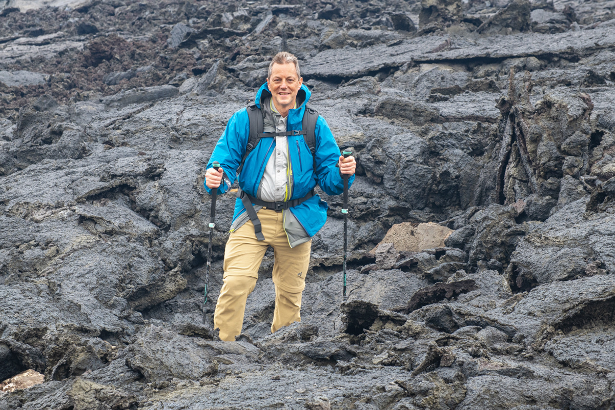
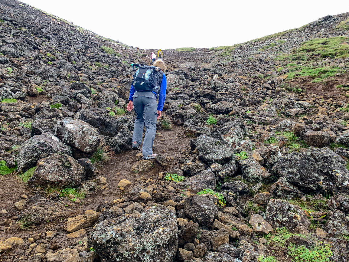
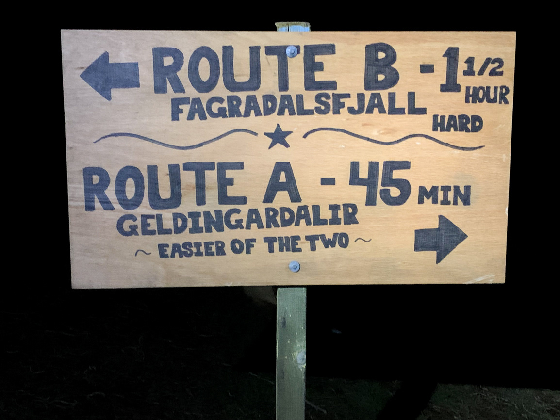
Determining which path to take was always the first decision of the day - Fagradalsfjall volcano, Reykjanes peninsula, Iceland

Lava art in the Nátthagi lava field - Route C - Fagradalsfjall volcano, Reykjanes peninsula, Iceland
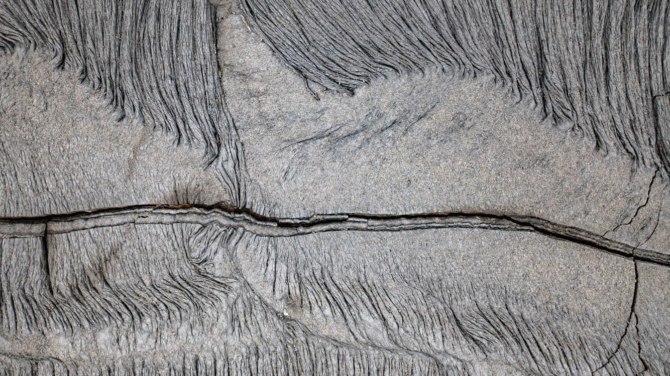
Lava art in the Nátthagi lava field - Route C - Fagradalsfjall volcano, Reykjanes peninsula, Iceland
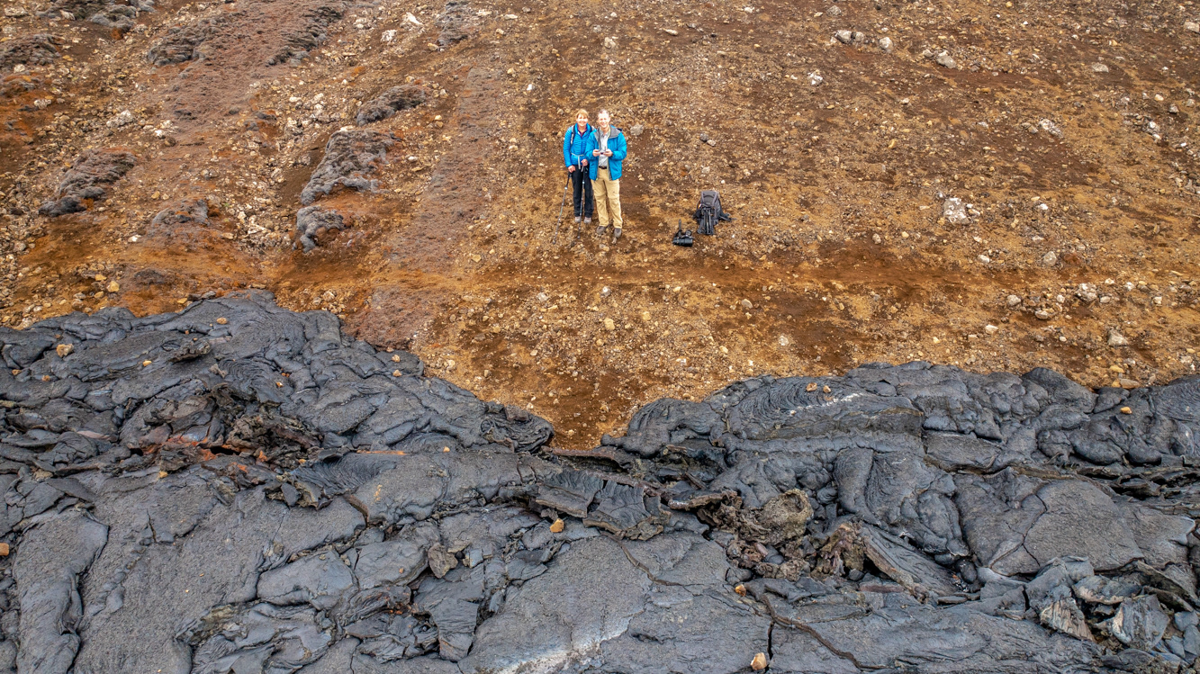
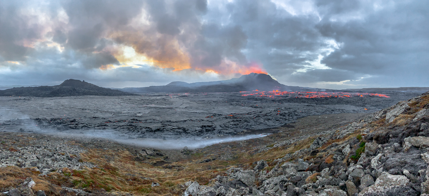
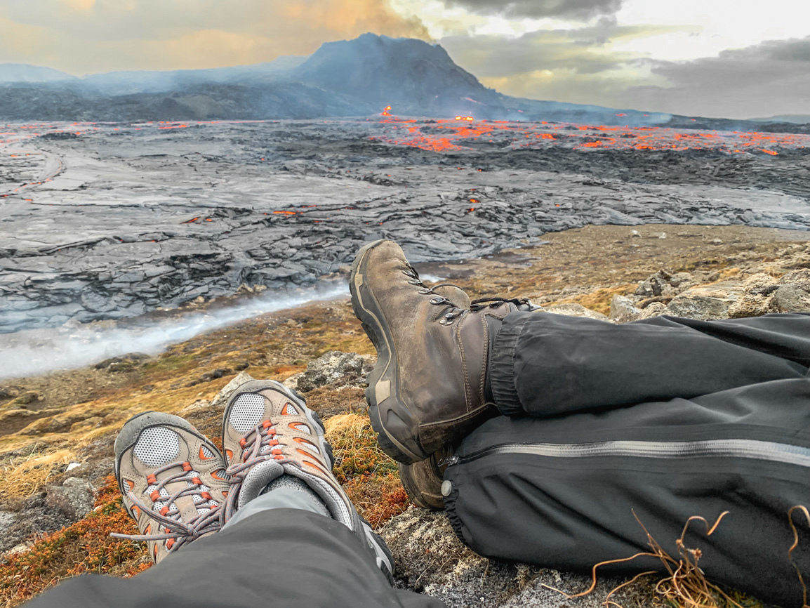
It's not every day that one can get a picture like this at the edge of the Nátthagi lava field - Route C - Fagradalsfjall volcano, Reykjanes peninsula, Iceland
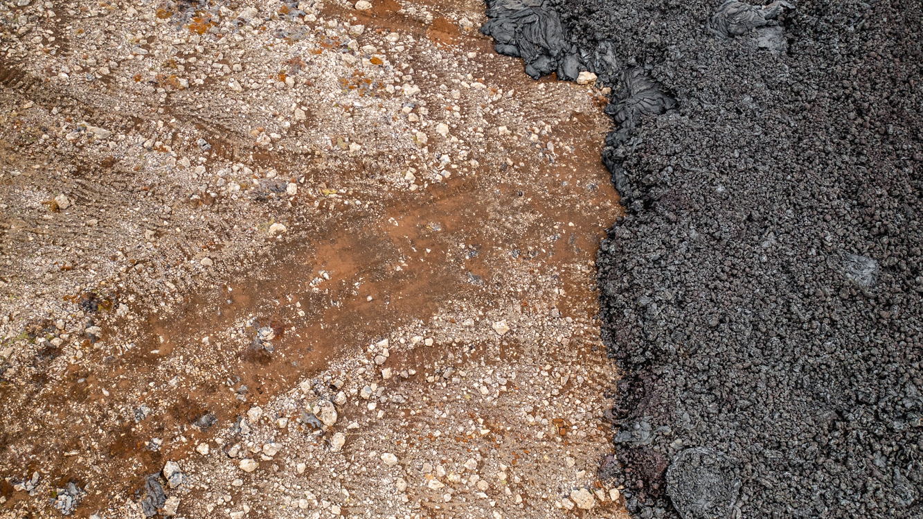
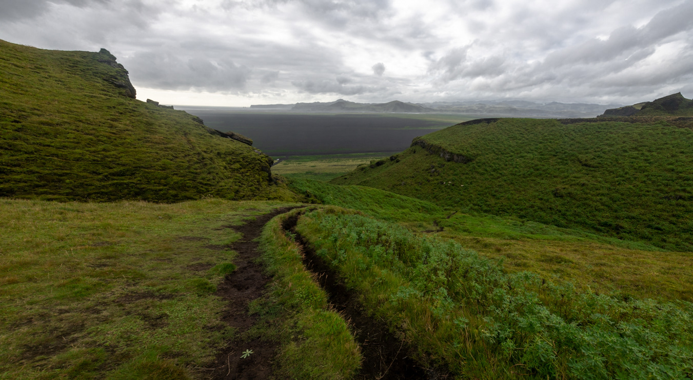
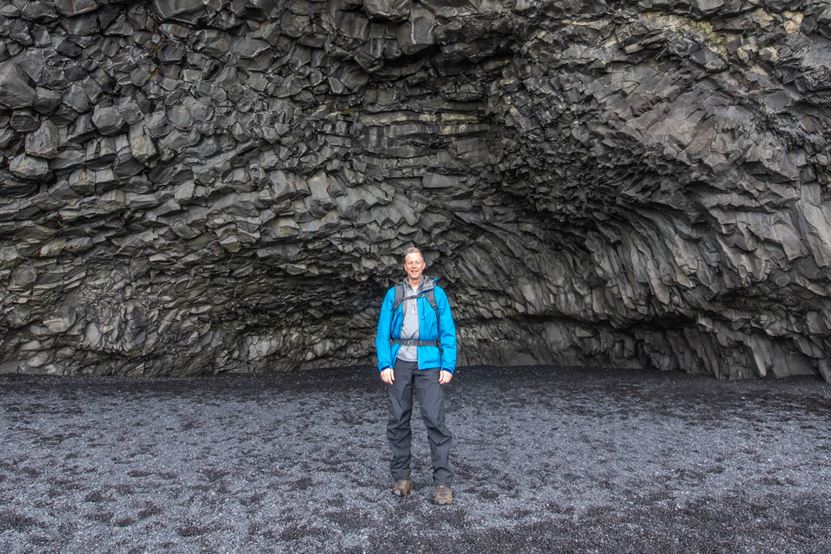
The edge of the Nátthagi lava field - Route C - Fagradalsfjall volcano, Reykjanes peninsula, Iceland
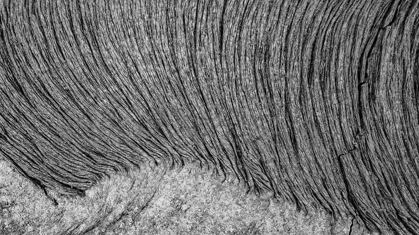
Lava art in the Nátthagi lava field - Route C - Fagradalsfjall volcano, Reykjanes peninsula, Iceland
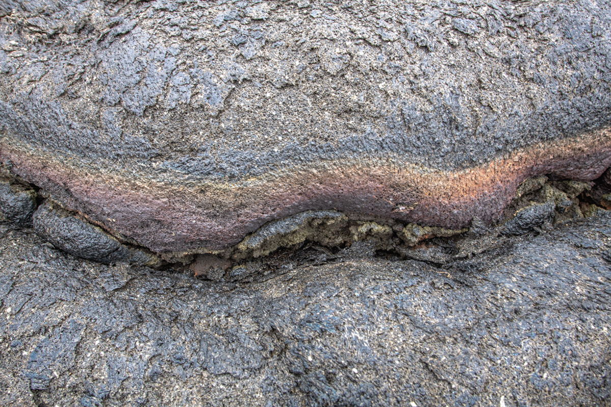
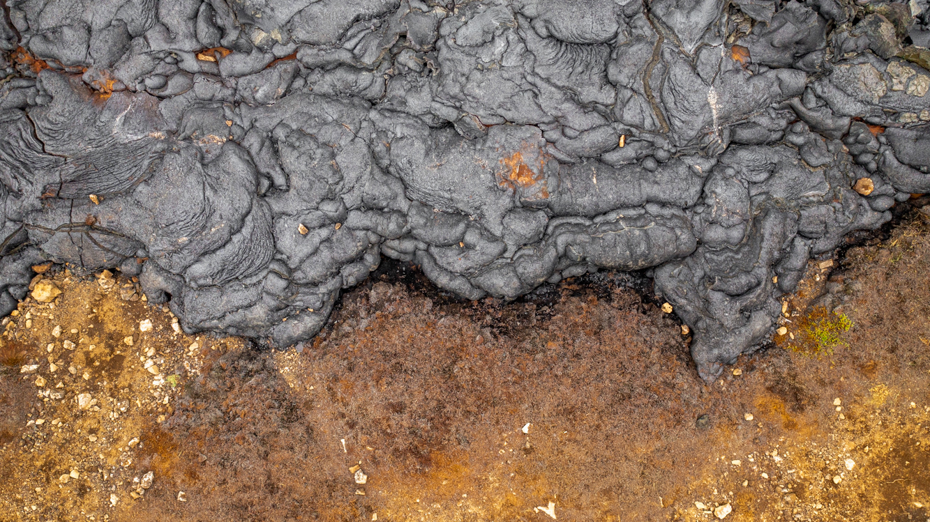
Lava sandwich in the Nátthagi lava field - Route C - Fagradalsfjall volcano, Reykjanes peninsula, Iceland
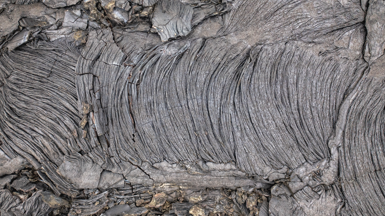
Lava art in the Nátthagi lava field - Route C - Fagradalsfjall volcano, Reykjanes peninsula, Iceland
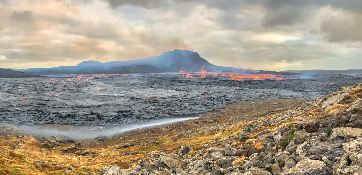
Looking towards the Fagradalsfjall volcano from the Nátthagi lava field - Route C - Reykjanes peninsula, Iceland
The end of the trail in the Nátthagi lava field - Route C - Fagradalsfjall volcano, Reykjanes peninsula, Iceland
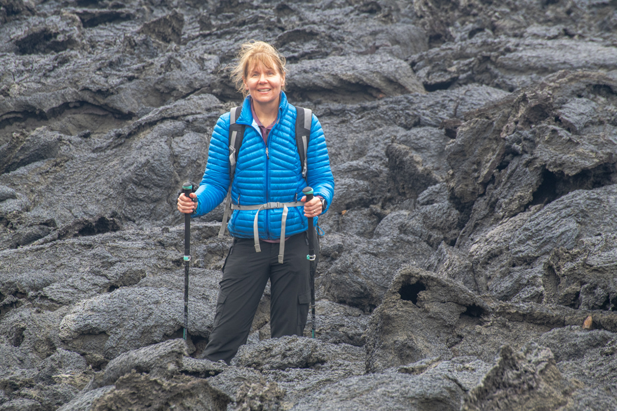
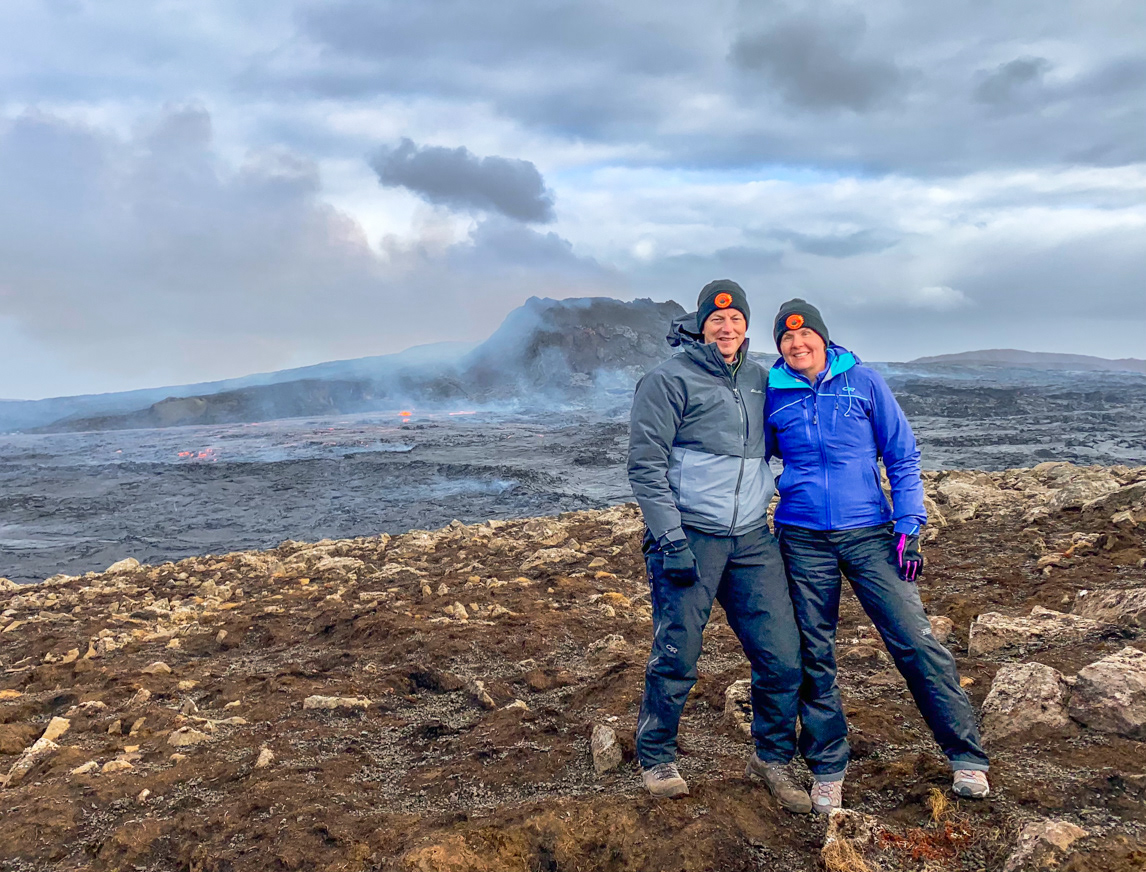
Sue in the Nátthagi lava field - Route C - Fagradalsfjall volcano, Reykjanes peninsula, Iceland (NOTE: Sue is standing on area of ground that was not covered by lava)
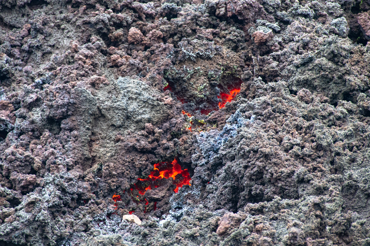
Fresh (and still very warm) lava in the Nátthagi lava field - Route C - Fagradalsfjall volcano, Reykjanes peninsula, Iceland
Bob in the Nátthagi lava field - Route C - Fagradalsfjall volcano, Reykjanes peninsula, Iceland (NOTE: Bob is standing on area of ground that was not covered by lava)
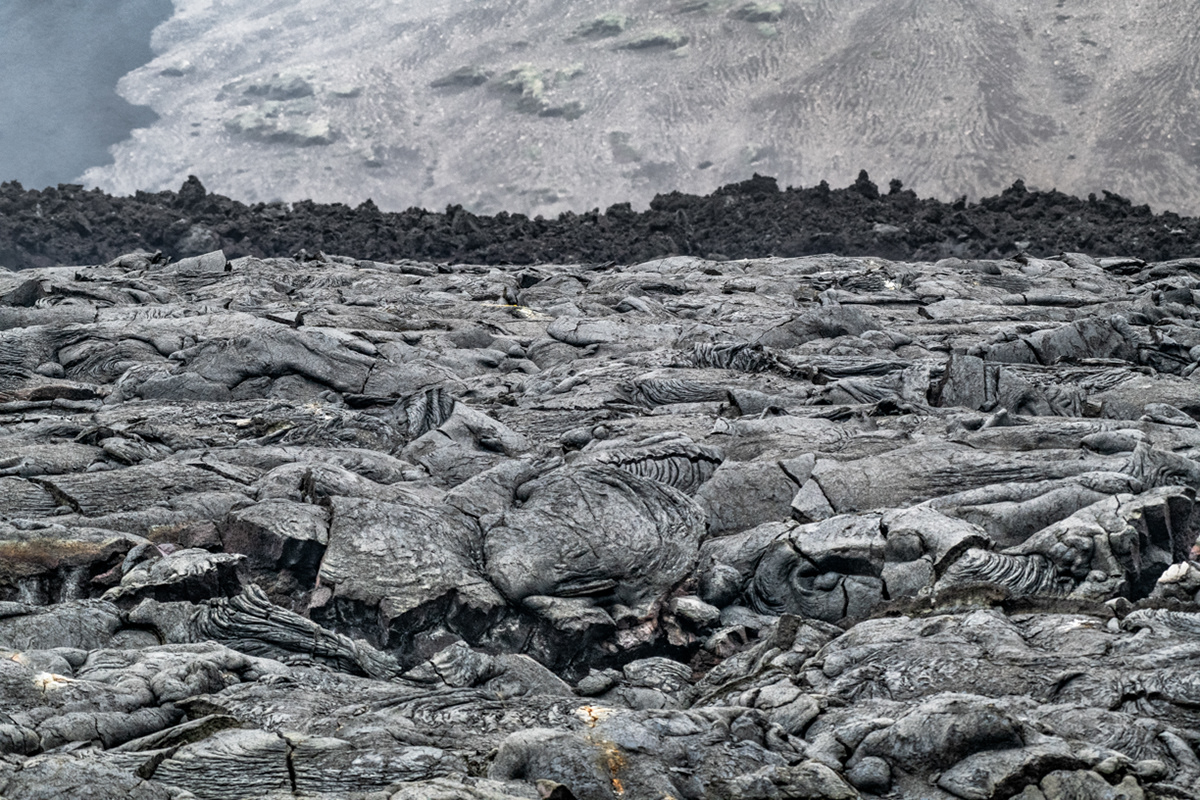
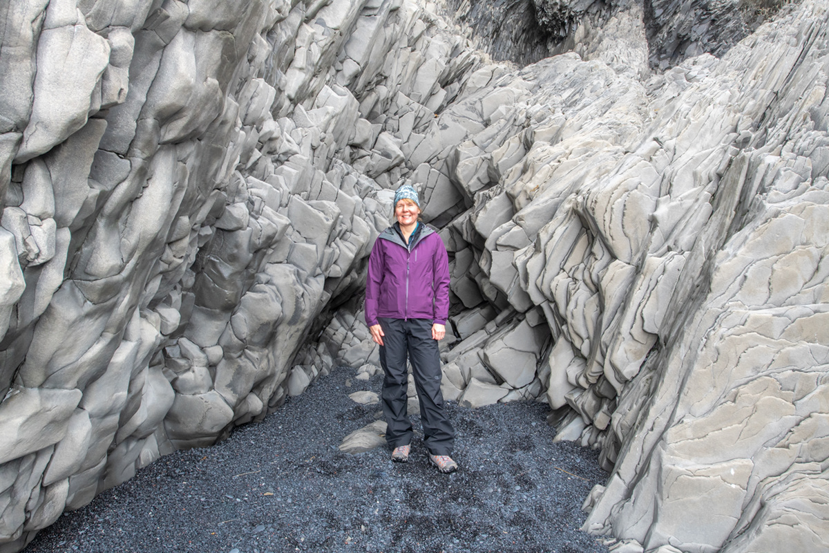
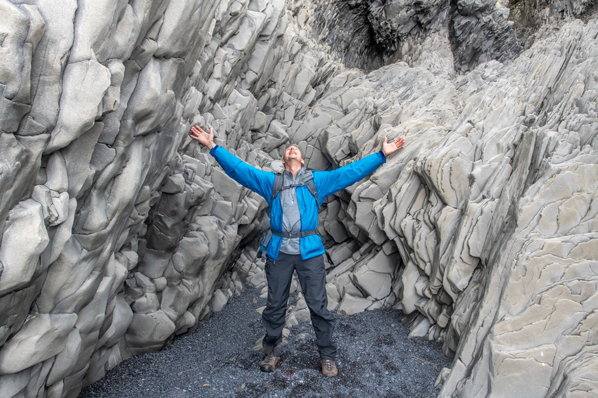
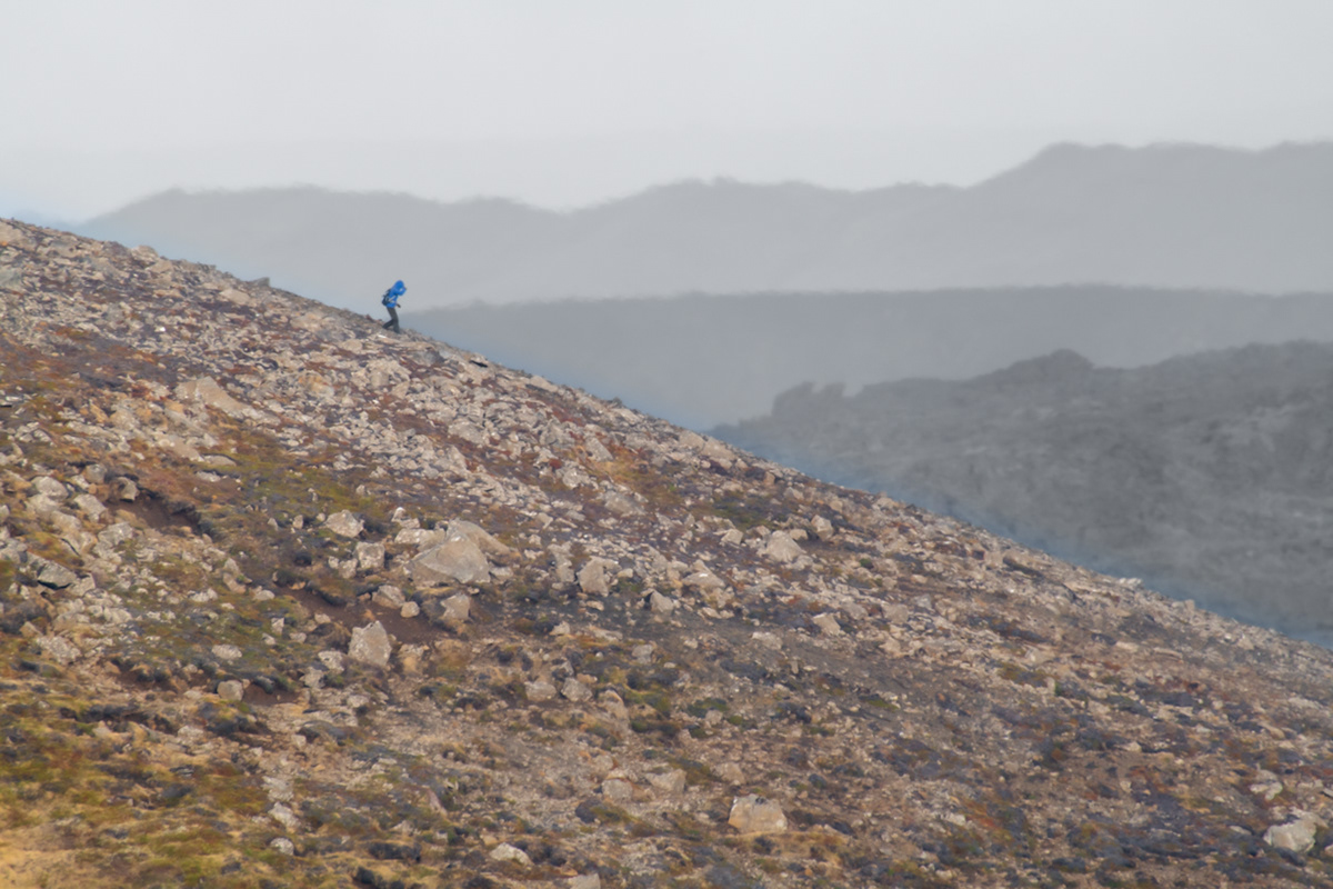
Route C along the Nátthagi lava field - Fagradalsfjall volcano, Reykjanes peninsula, Iceland
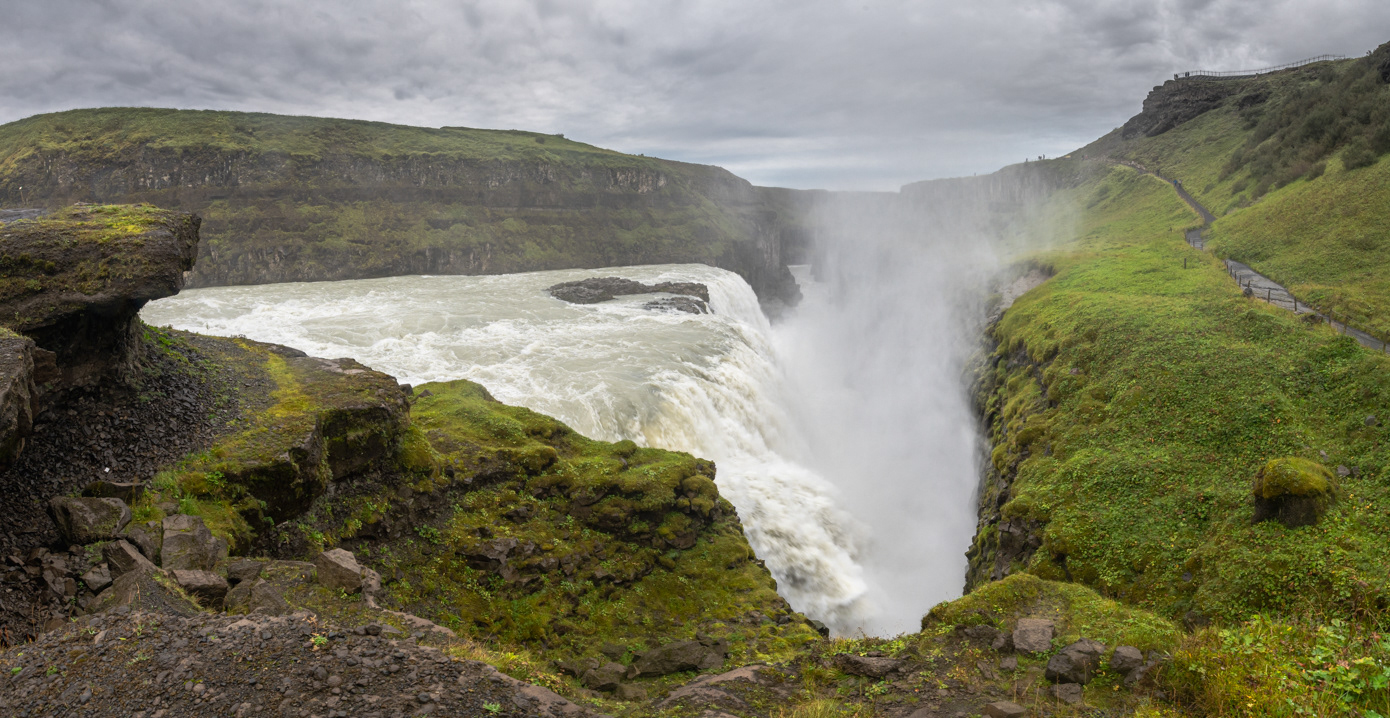
Gullfoss, Reykjanes peninsula, Iceland
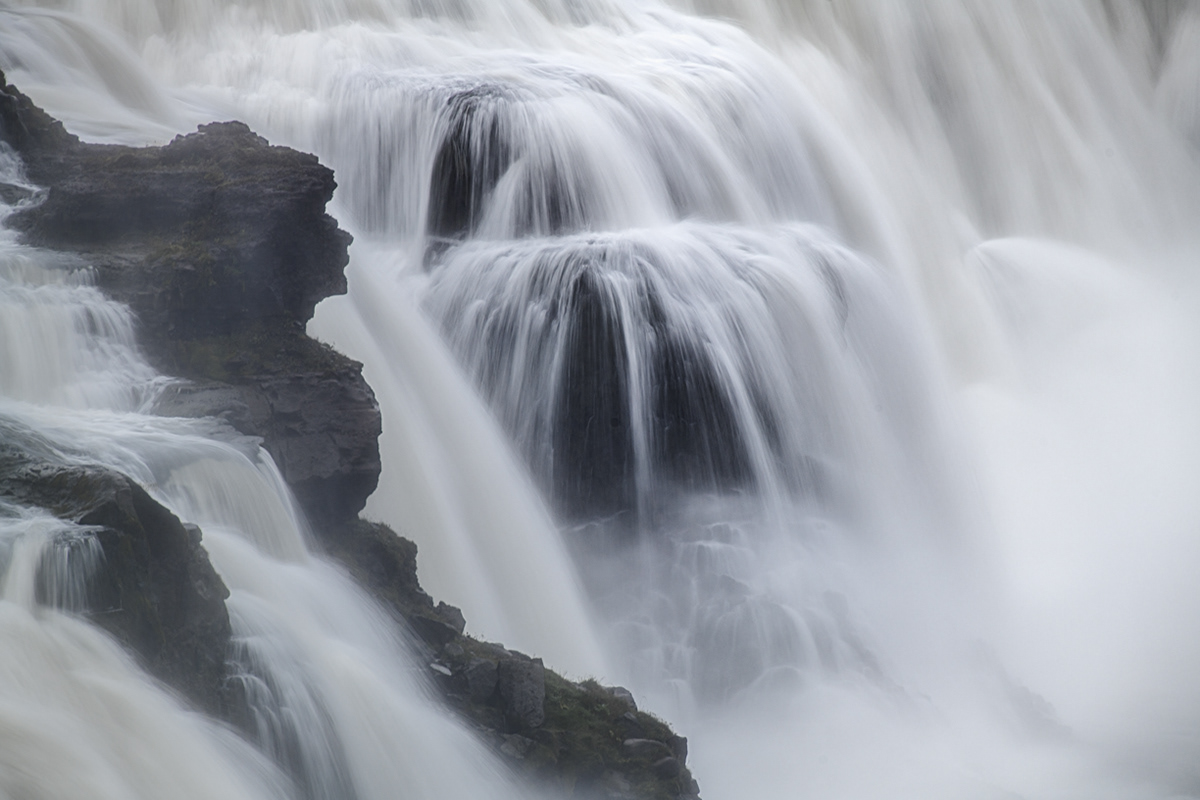
Gullfoss, Reykjanes peninsula, Iceland
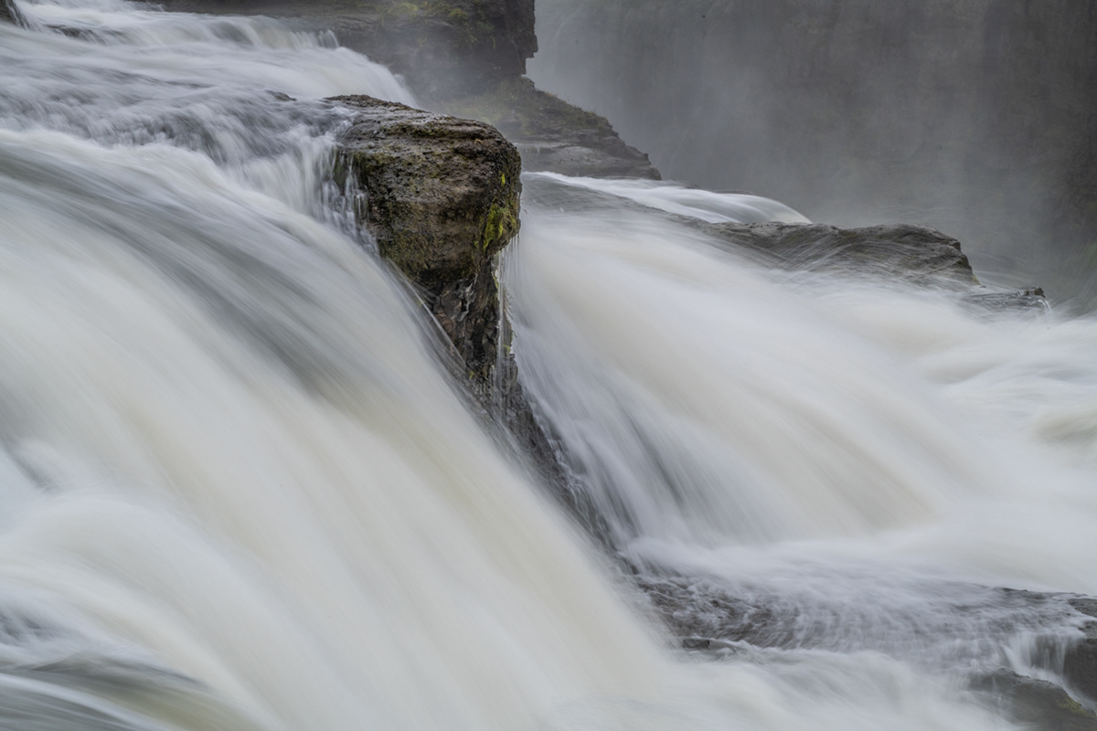
Gullfoss, Reykjanes peninsula, Iceland
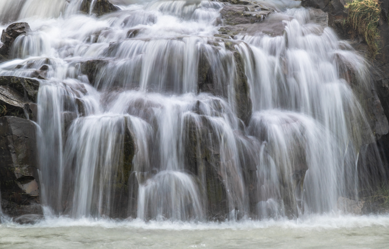
Gullfoss, Reykjanes peninsula, Iceland
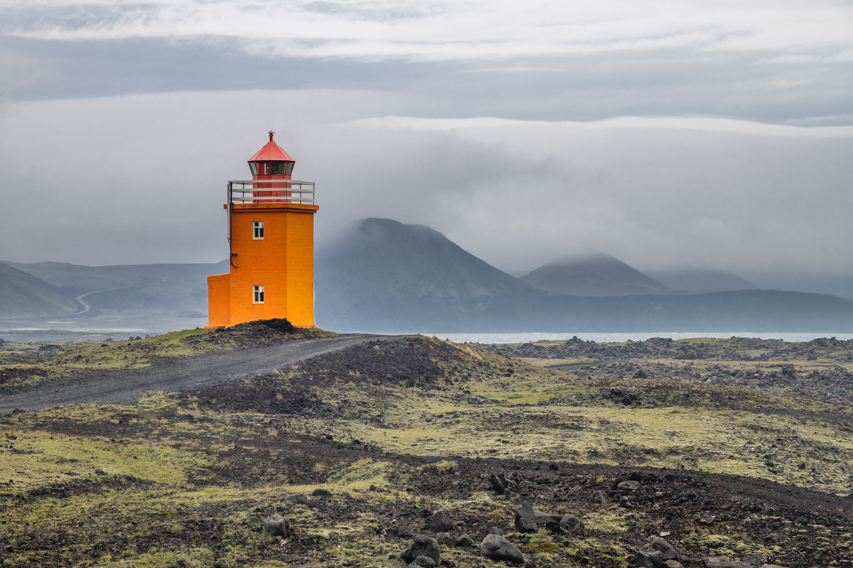
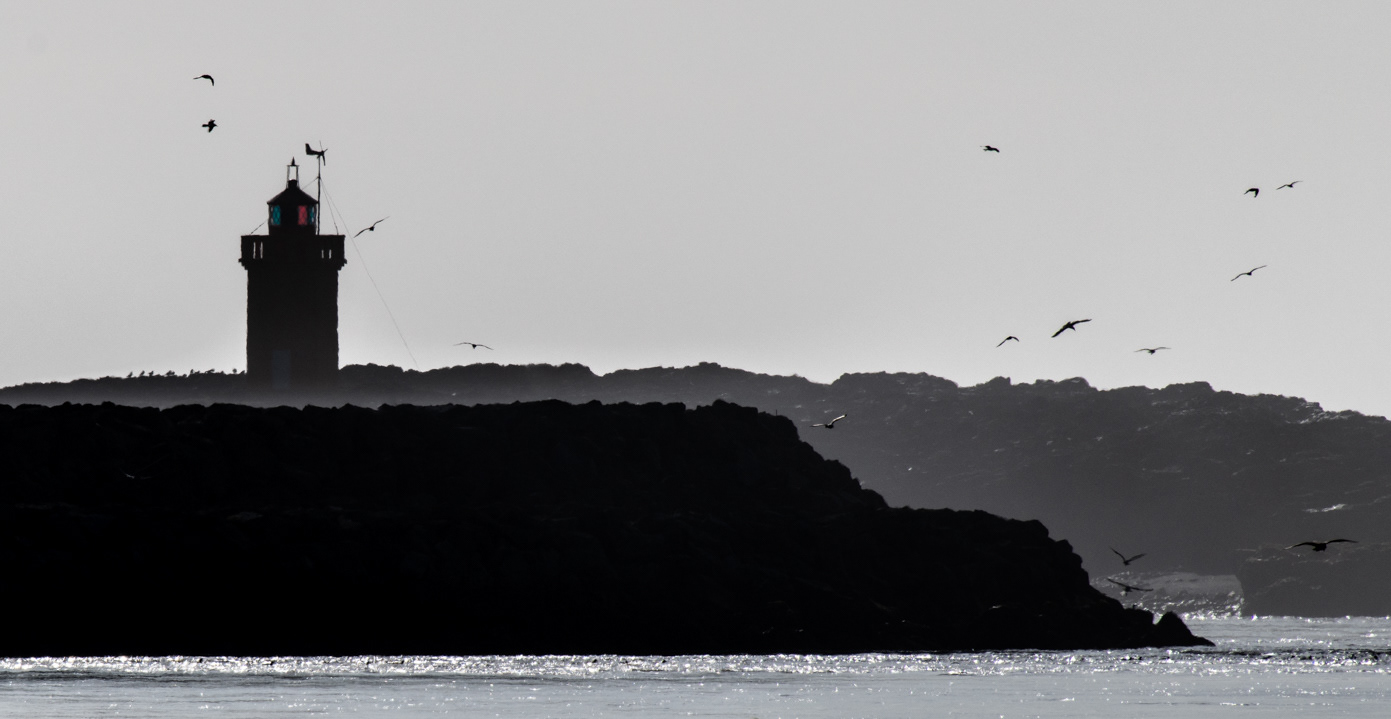
Hópsnesviti
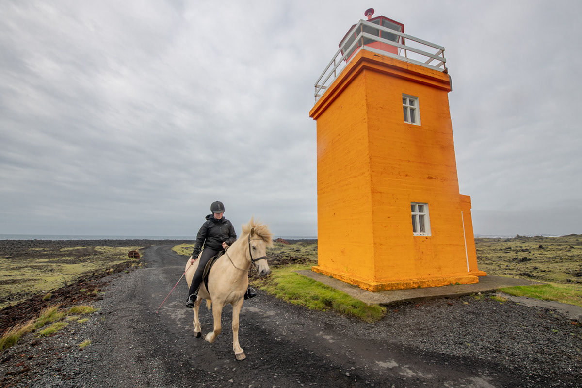
Hópsnesviti
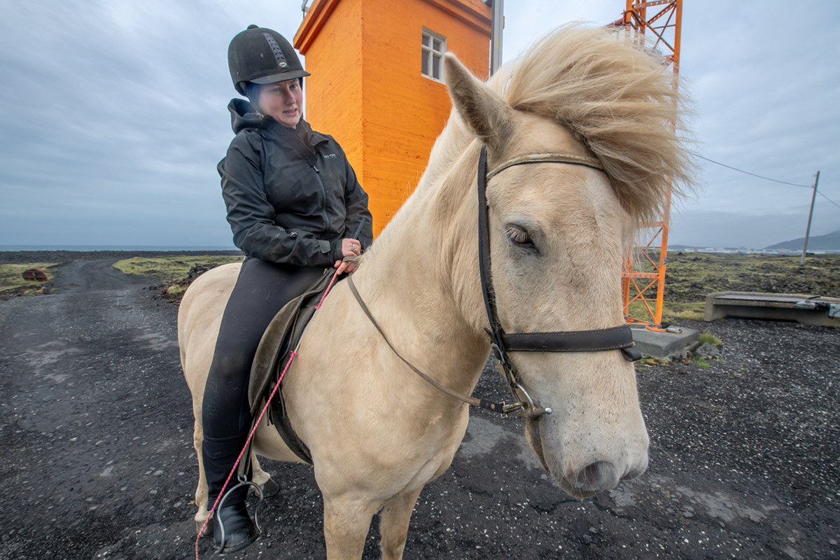
Hópsnesviti

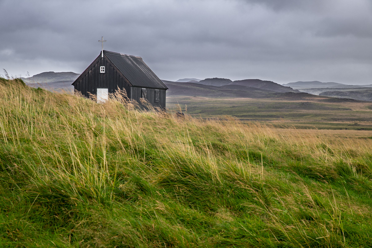
Strandarkirkja in Selvogur (Seal Cove in Icelandic)
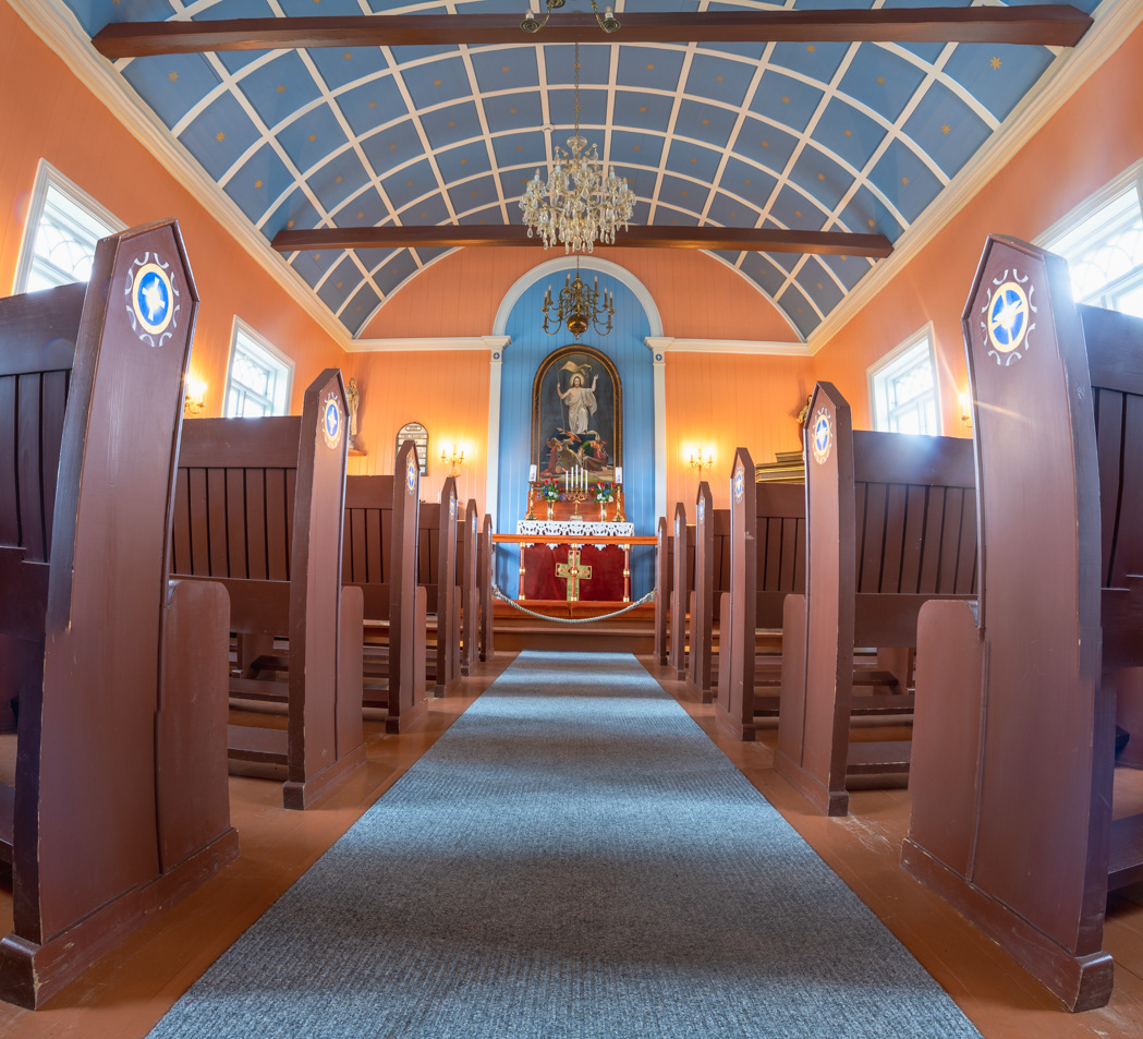
Strandarkirkja - church interior - Selvogur, Iceland
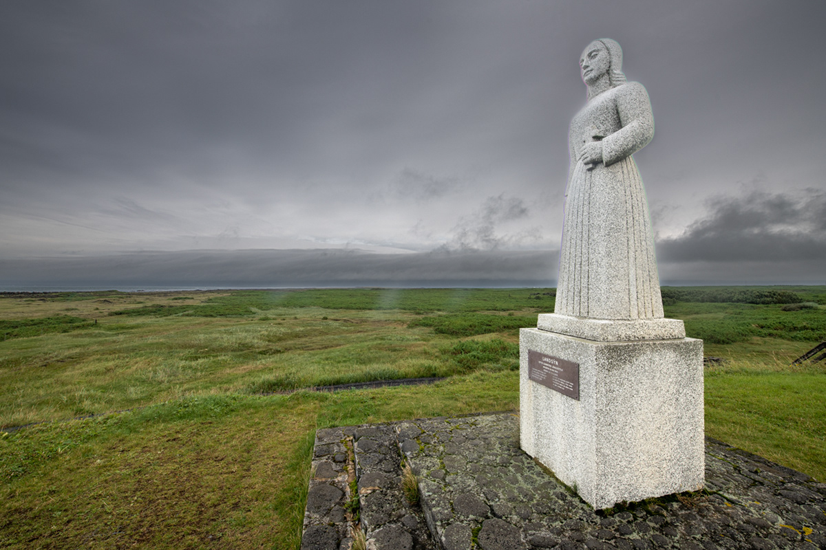
Strandarkirkja - statue of the angel Landsýn who once saved a fishermen ship from stranding - Selvogur, Iceland
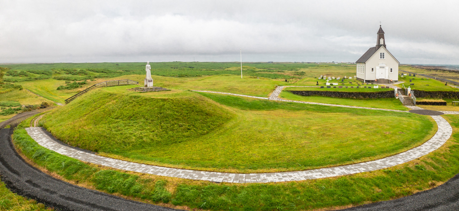
Strandarkirkja in Selvogur with the statue of the angel Landsýn facing the ocean.
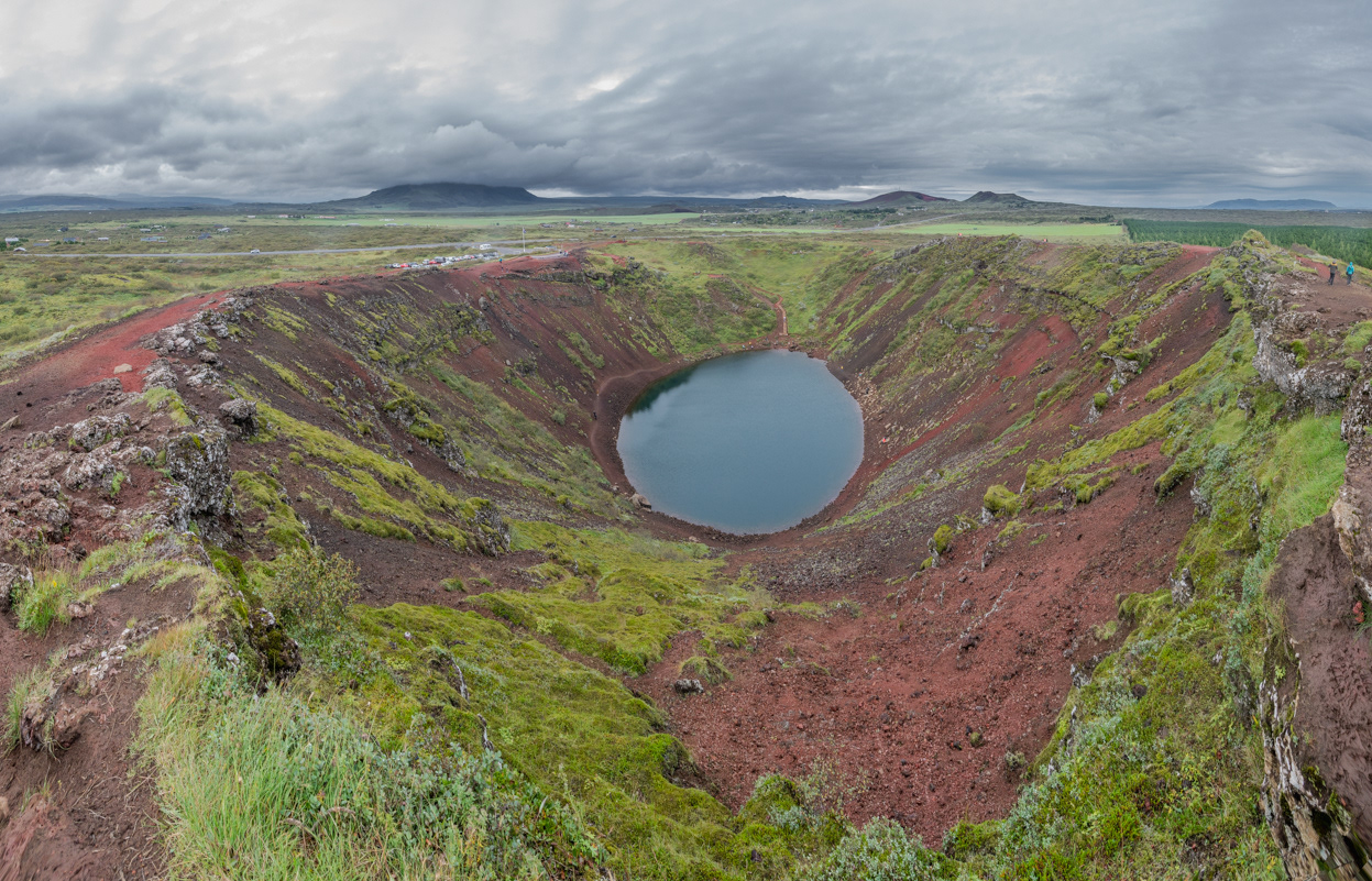
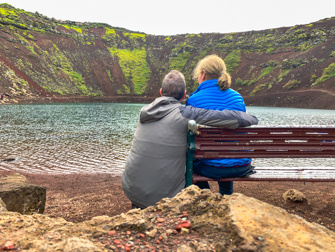
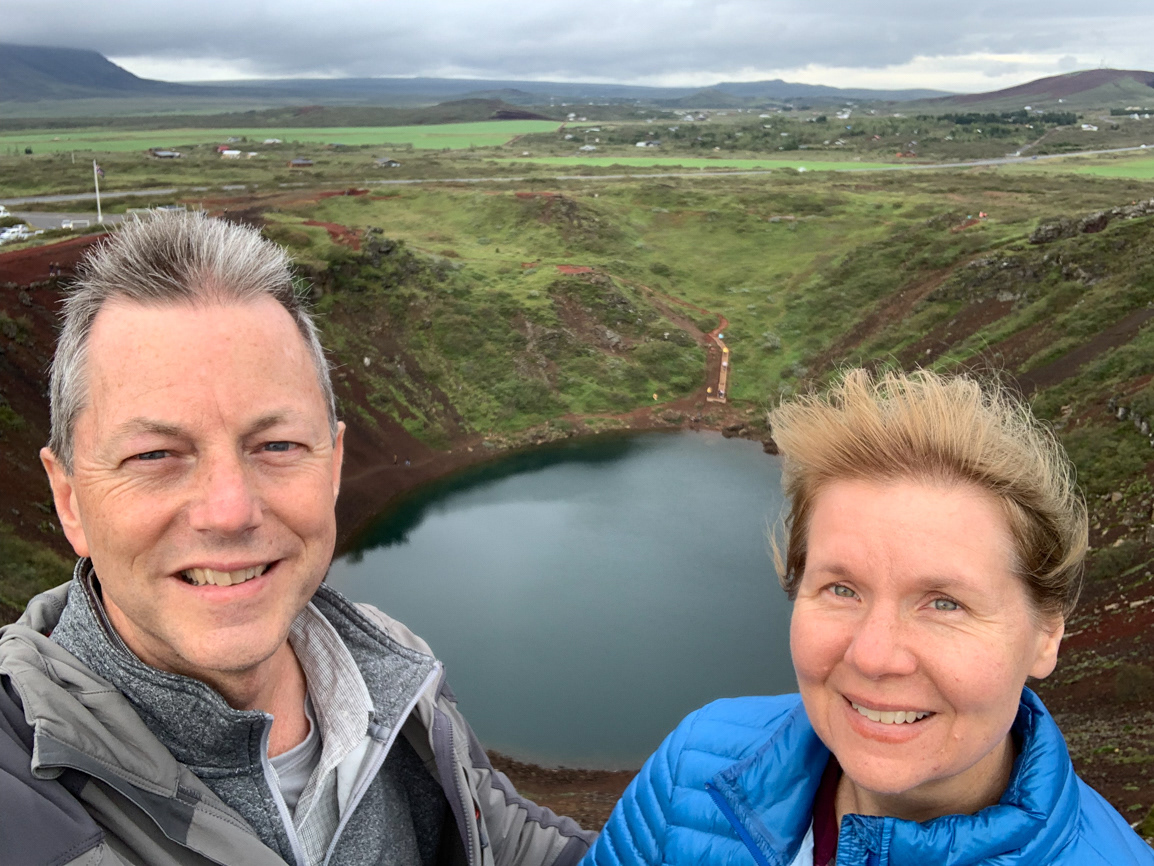
Kerid Crater, Klausturholar
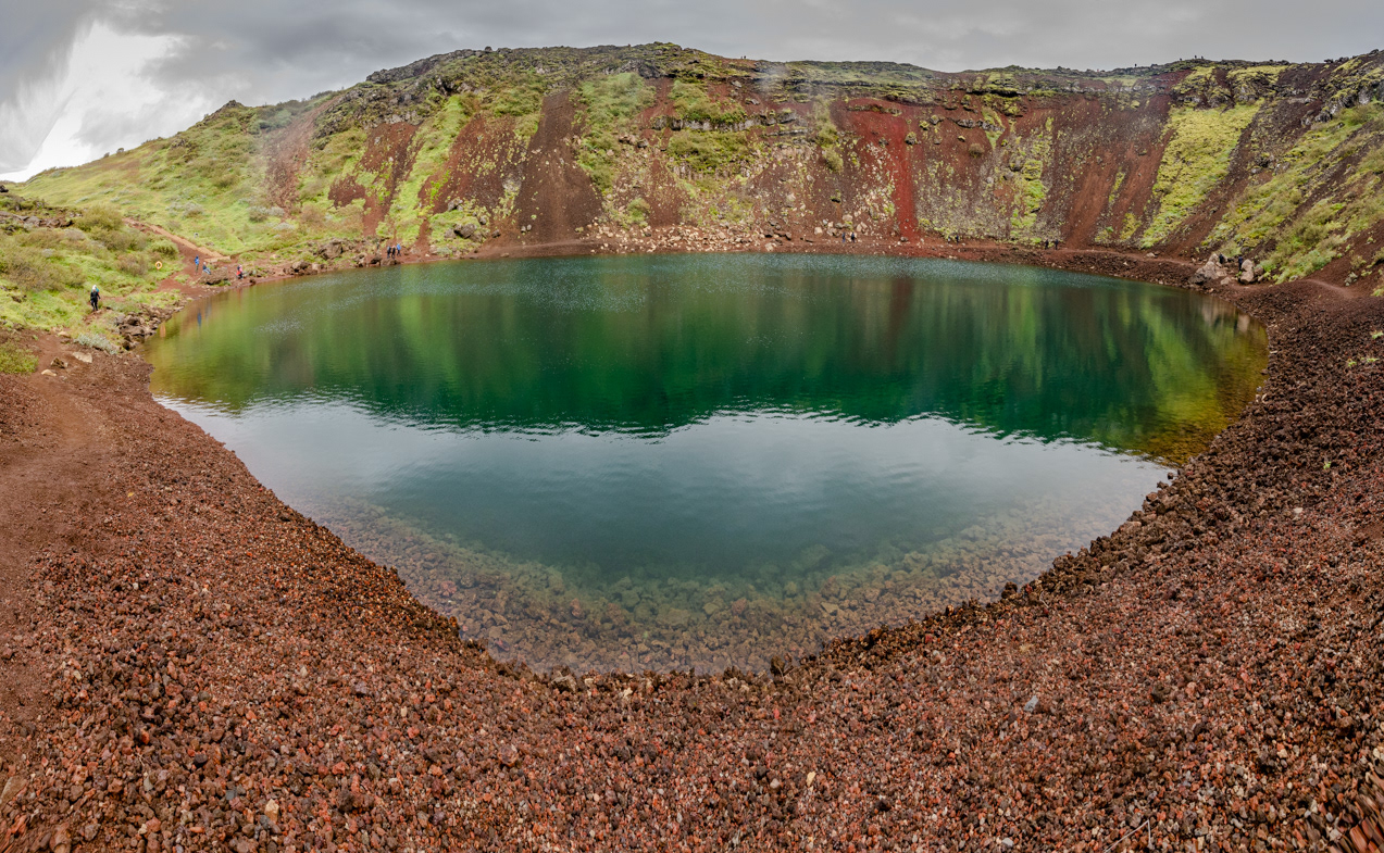
Kerid Crater, Klausturholar
Kerid Crater, Klausturholar
Kerid Crater, Klausturholar
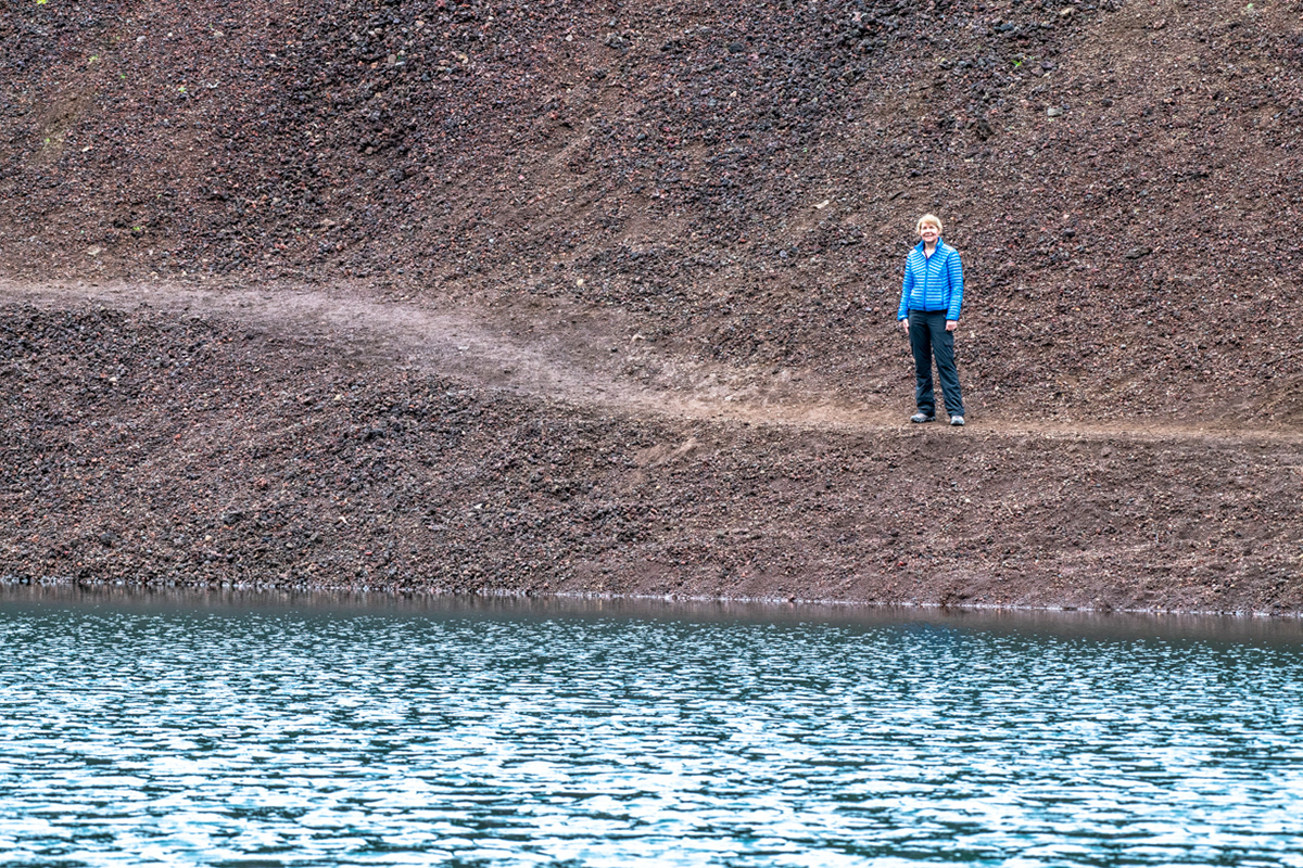
Kerid Crater, Klausturholar - from the bottom looking up
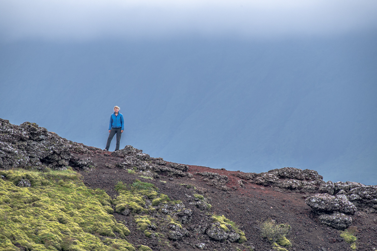
Kerid Crater, Klausturholar - from the top looking down
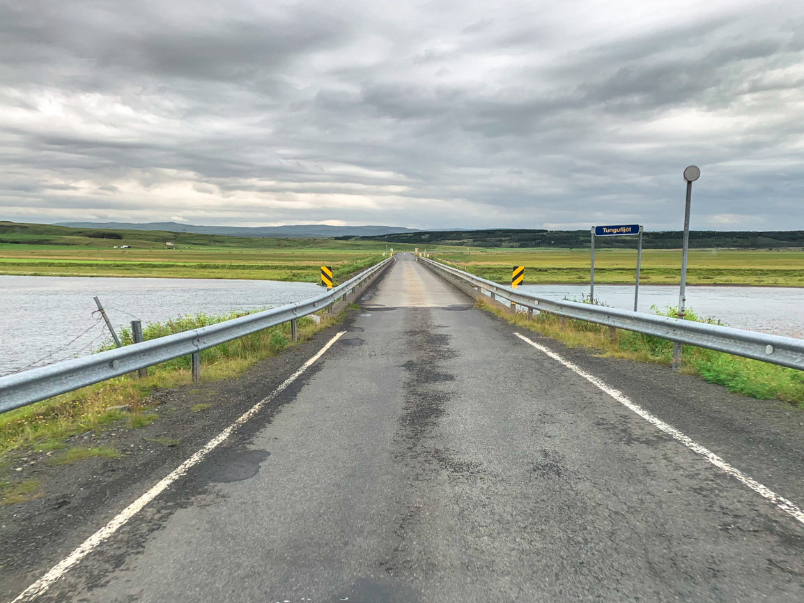
Many bridges in Iceland are one lane. This is done because a one-lane bridge is quicker and less expensive to build than a two-lane bridge. Why is that a thing, you ask? It's because these bridges have a history of washing away when highland glaciers melt during volcanic eruptions.
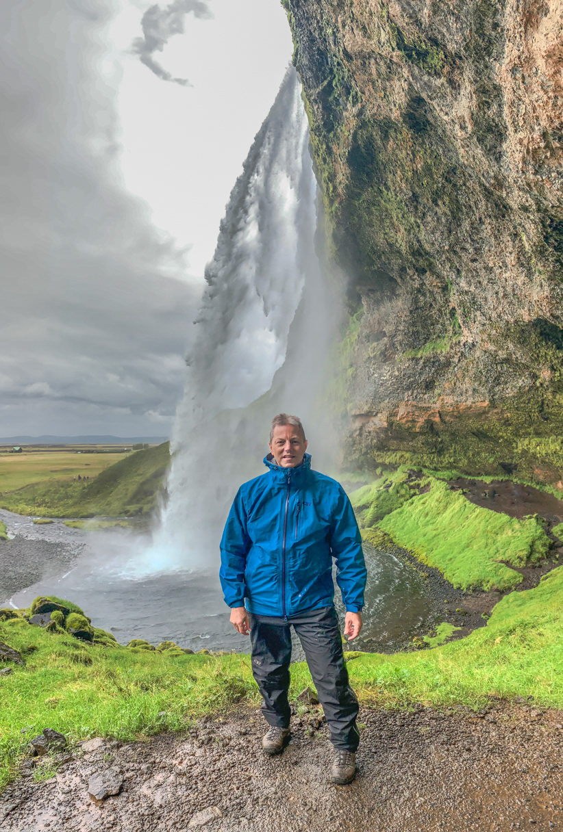
Seljalandsfoss
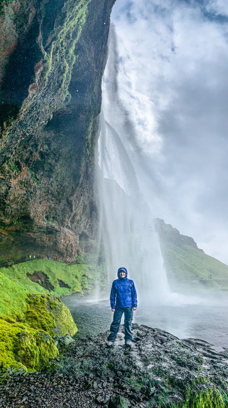
Seljalandsfoss
Gljufrabui (or Canyon Dweller) is a hidden waterfall a short walk north of Seljalandsfoss.
You have to walk through a narrow canyon to reach this spot.
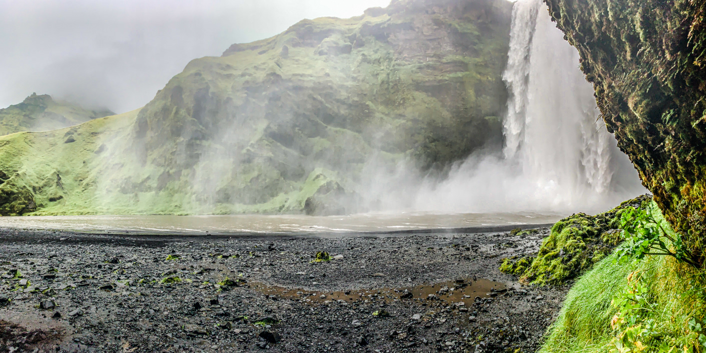
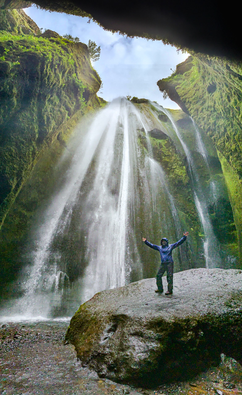
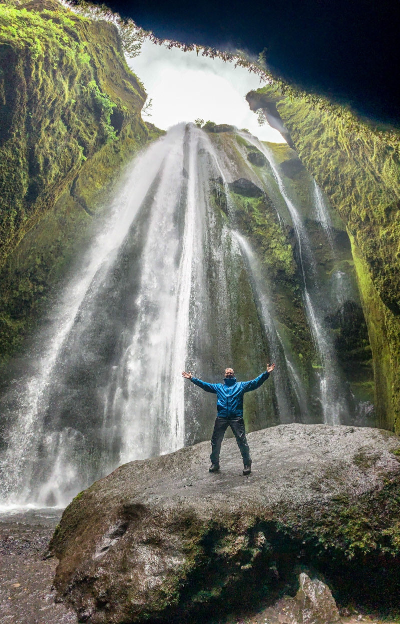
Skógafoss - a place that wasn't very hospitable to cameras.
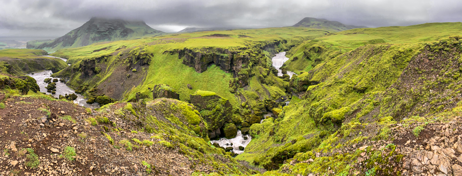
Along the Fimmvorduhals Trail.
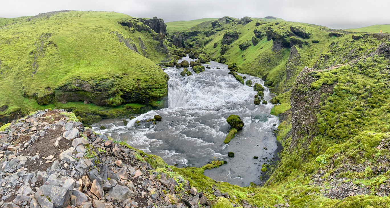
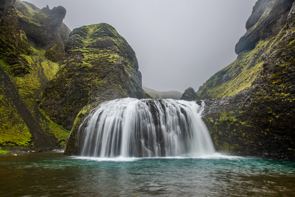
Fosstorfufoss
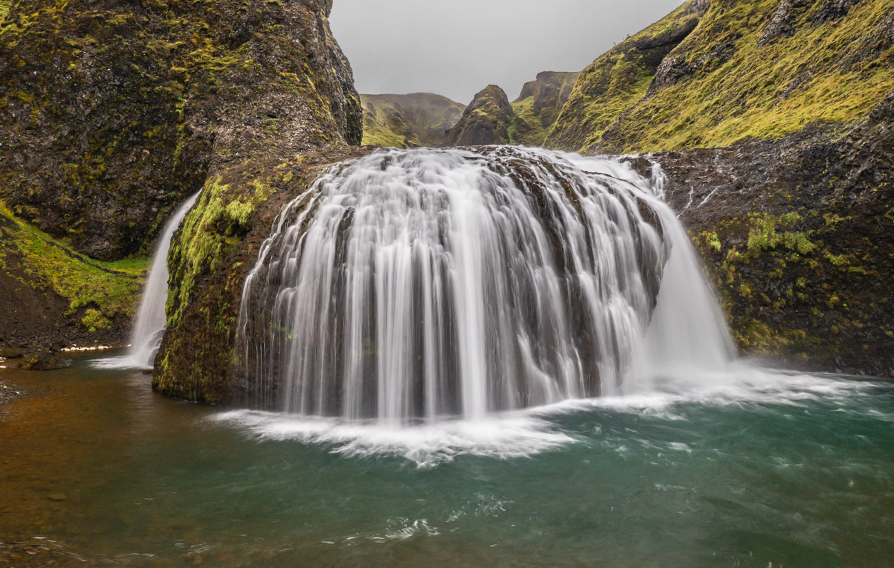
Steinbogafoss
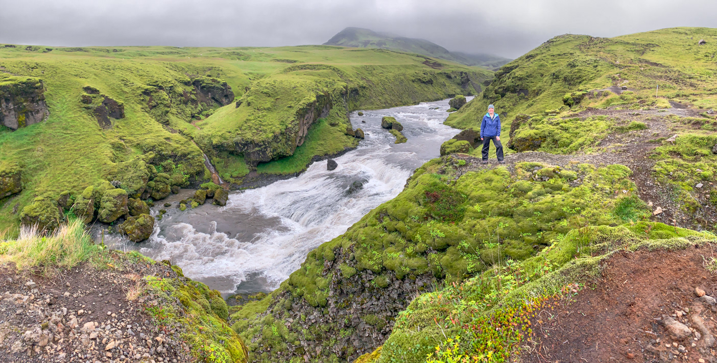
Along the Fimmvorduhals Trail with all our 'friends'. As you can see, we had the place to ourselves.
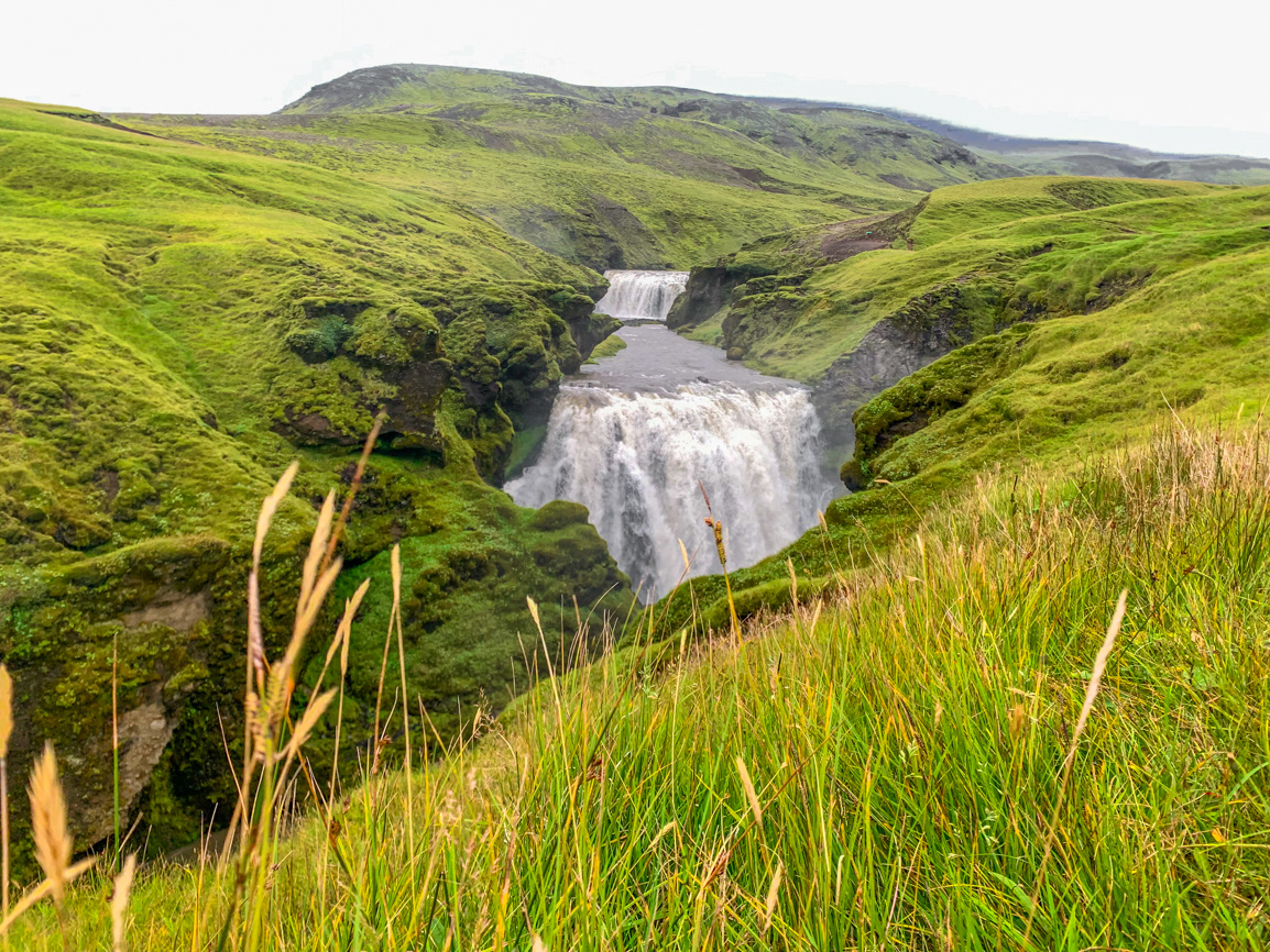
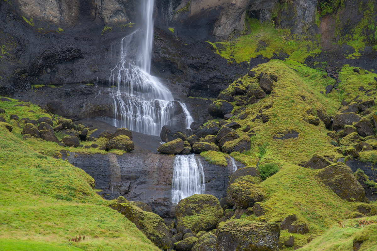
Fremri-Fellsfoss
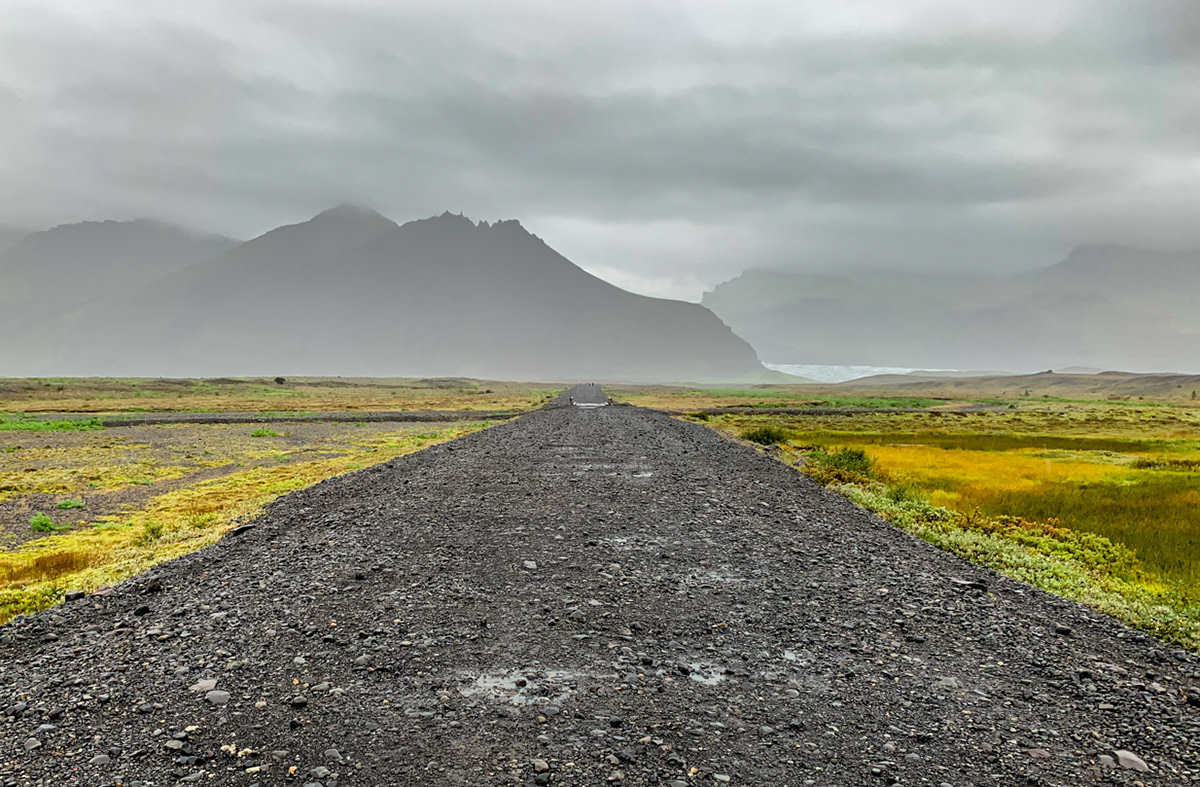
Along the Fimmvörðuháls trail. It was here that we considered ourselves '1 percenters' because we left the crowds far behind us in the parking lot.
Looking west from the upper Dyrhólaey peninsula.
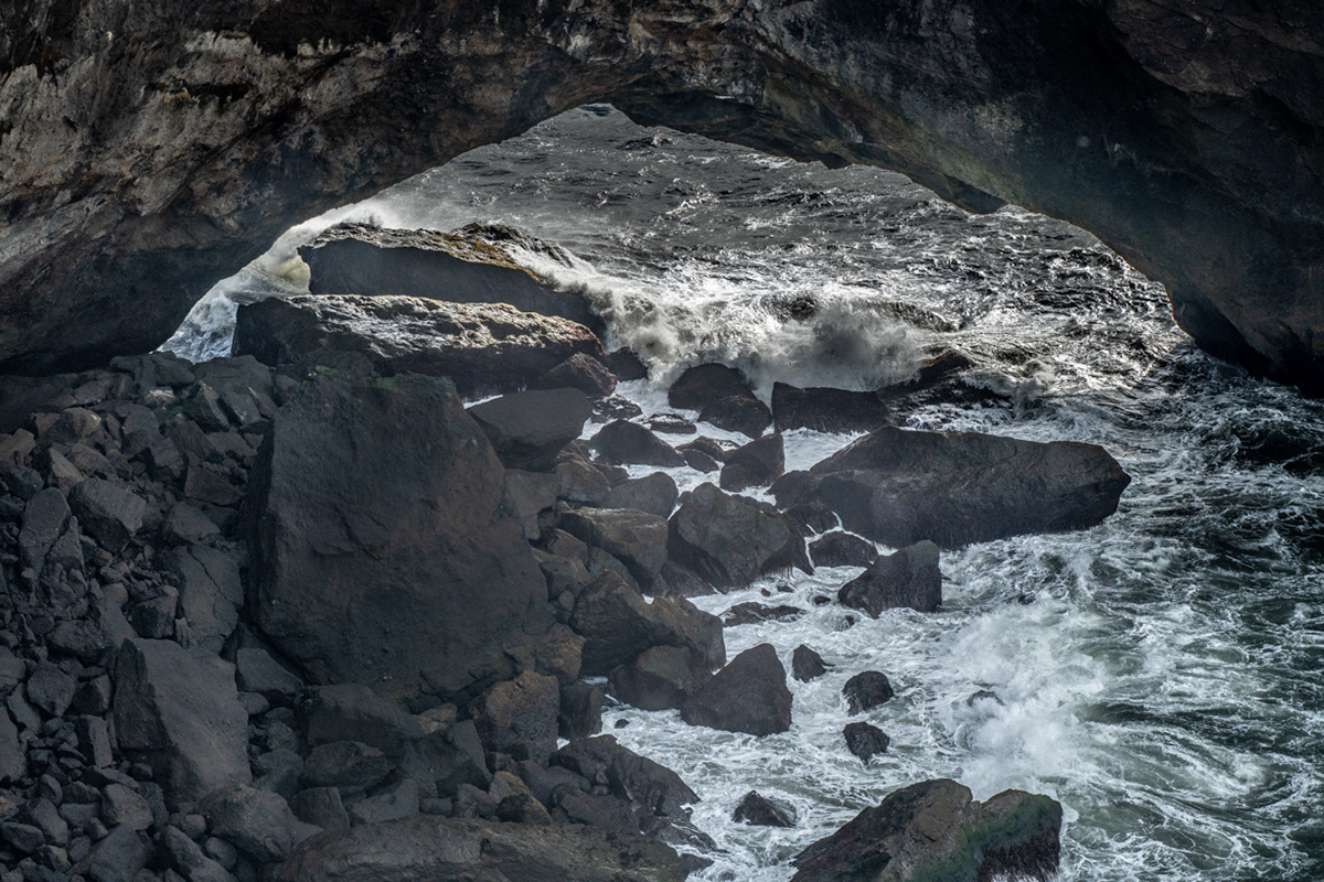
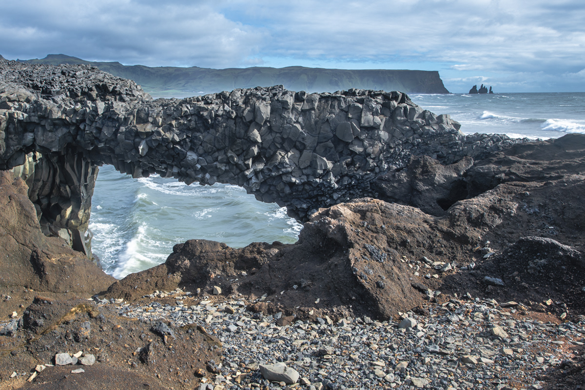
Black lava arch at the ocean's edge in front of the Dyrhólaey peninsula.
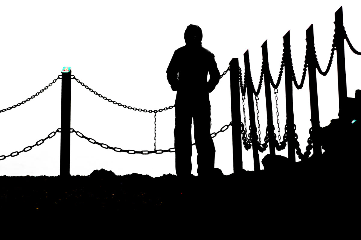
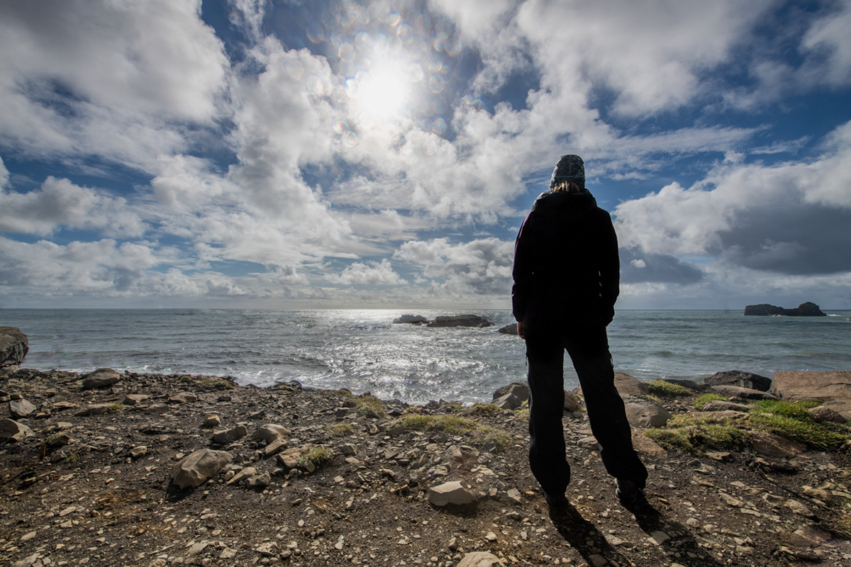
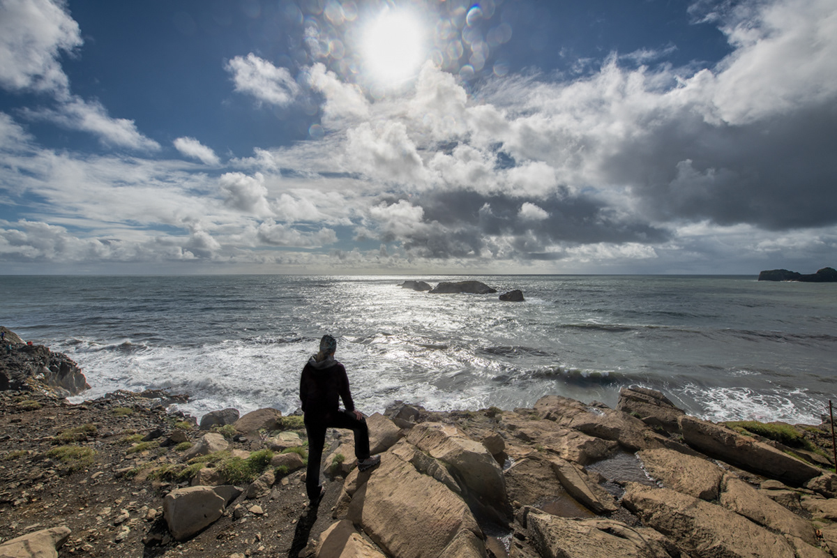
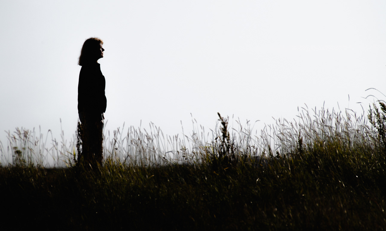
Sue silhouetted on the upper Dyrhólaey peninsula.
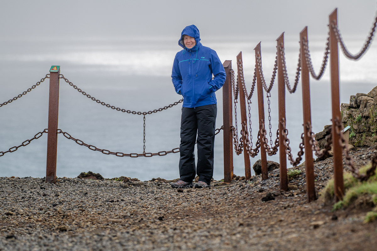
Sue on the upper Dyrhólaey peninsula.
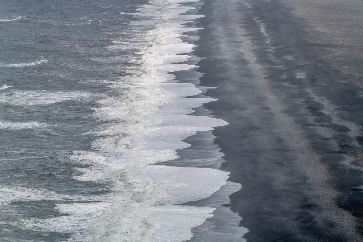
Waves crashing on the endless black coastline when looking west on the upper Dyrhólaey peninsula.
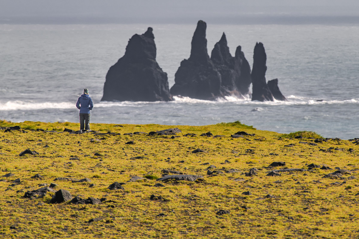
Sue is dwarfed by the black lava columns of the Reynisdrangar come out of the sea as viewed from the top of the Dyrhólaey peninsula.
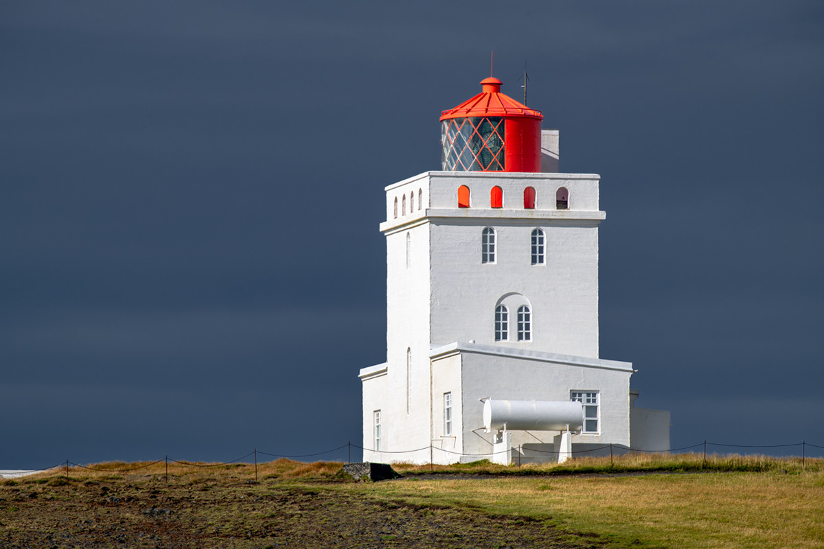
The Dyrhólaey lighthouse (Dyrhólaeyjarviti)
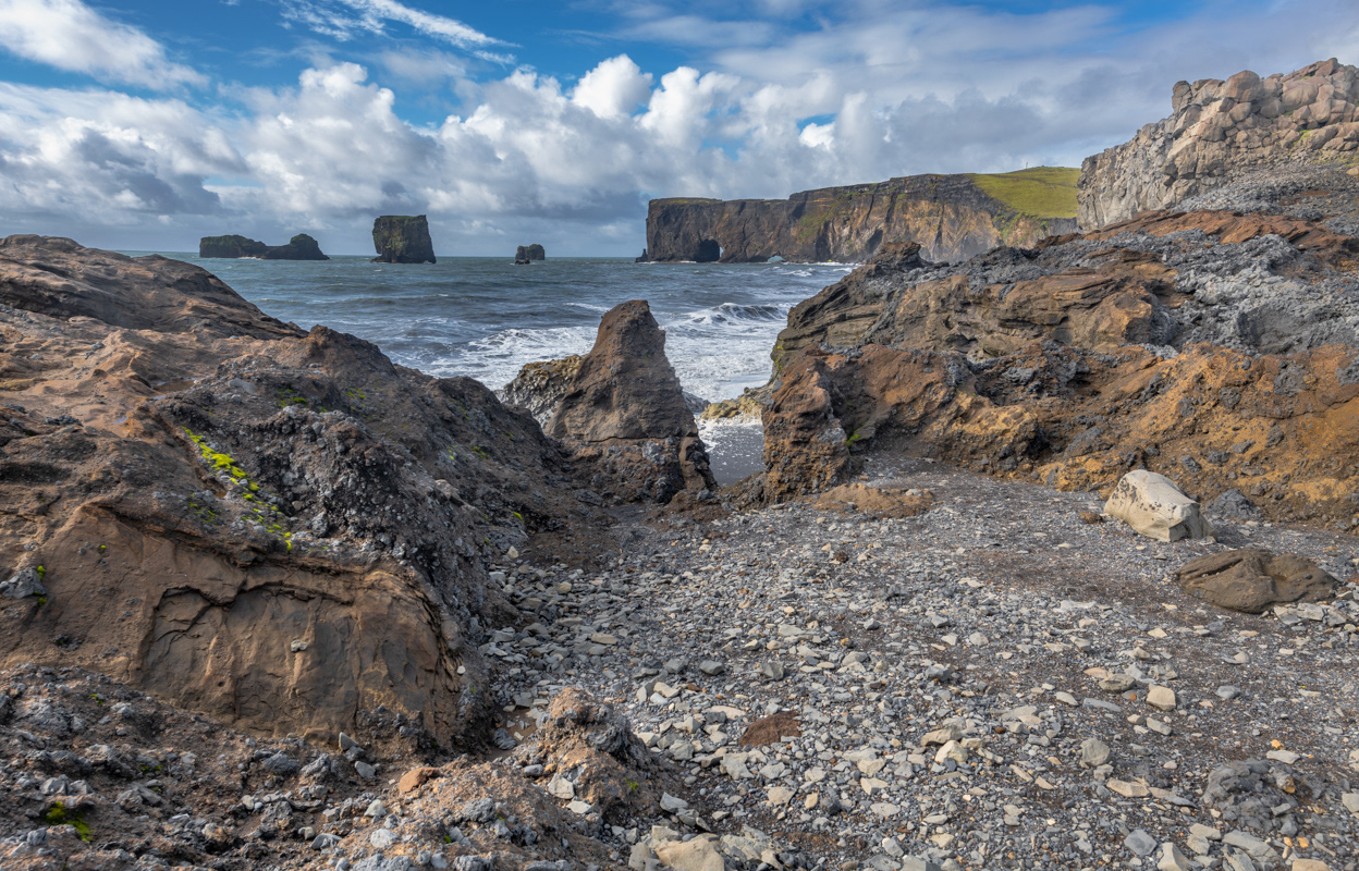
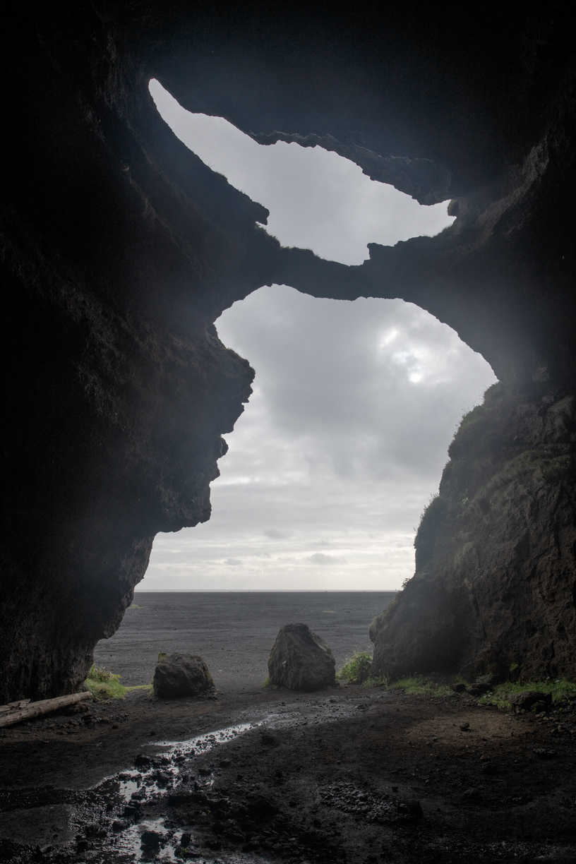
Looking west from the lower Dyrhólaey peninsula towards the lava arch.
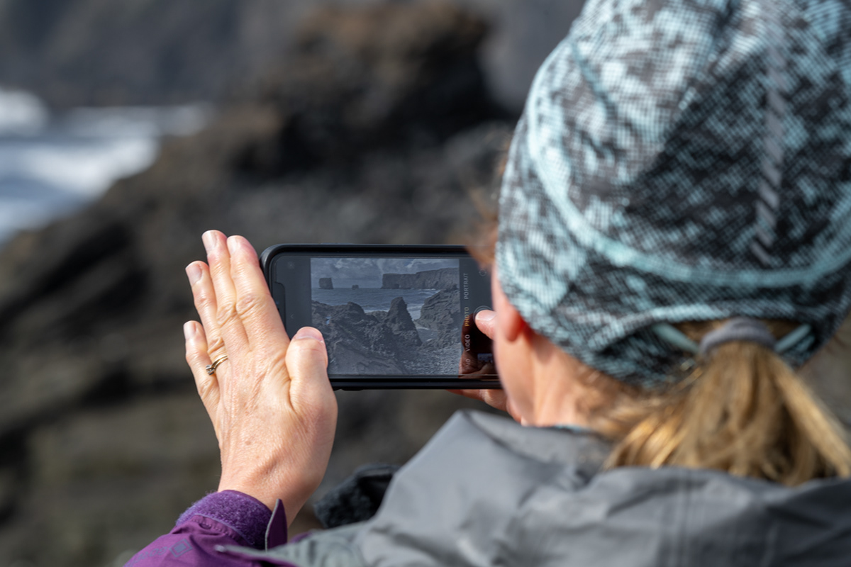
Bob taking a picture of Sue taking a picture of the lava arch.
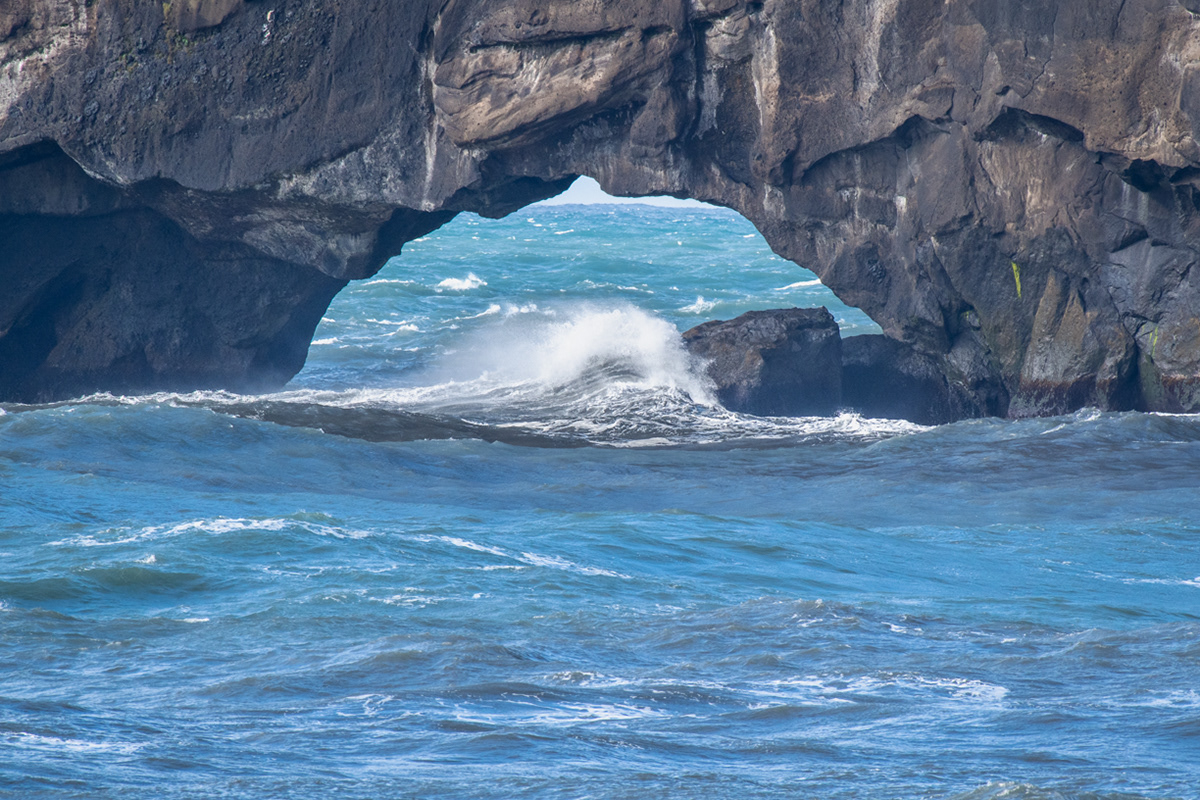
A close up view of the lava arch from the lower Dyrhólaey peninsula.
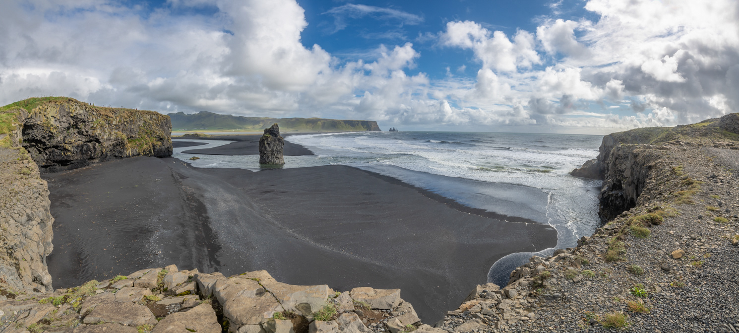
Looking west from the lower Dyrhólaey peninsula towards the lava arch and the upper Dyrhólaey peninsula.
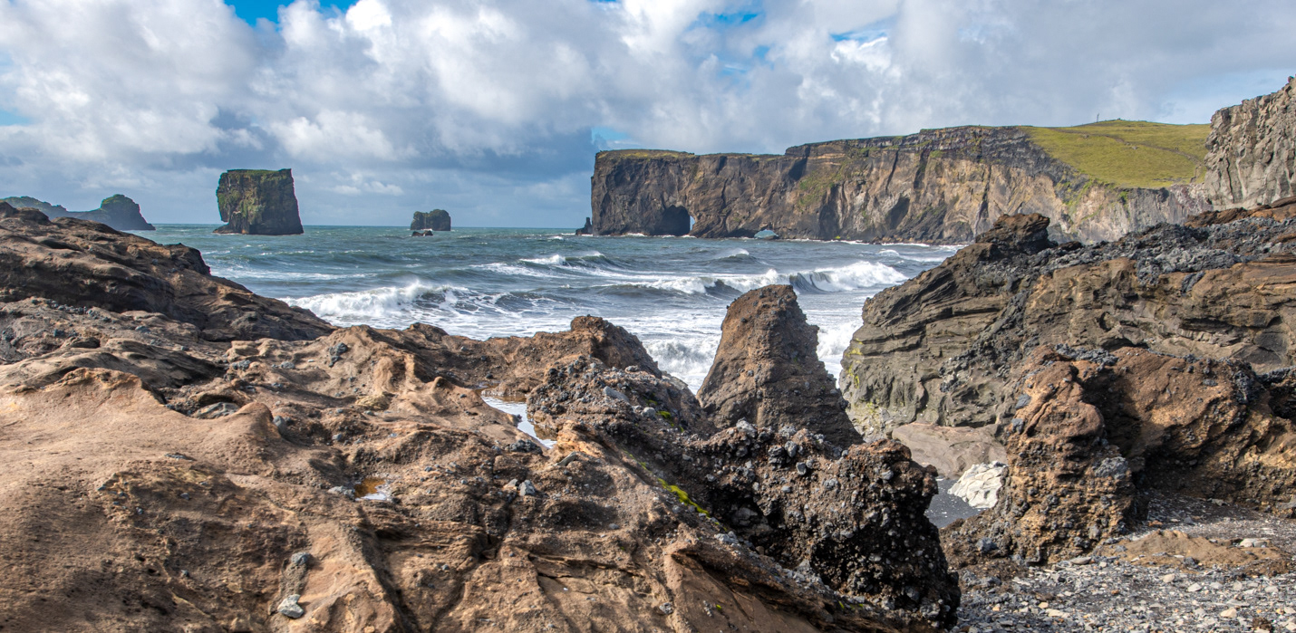
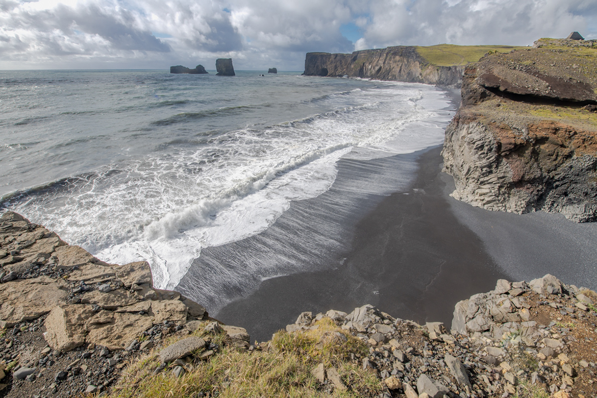
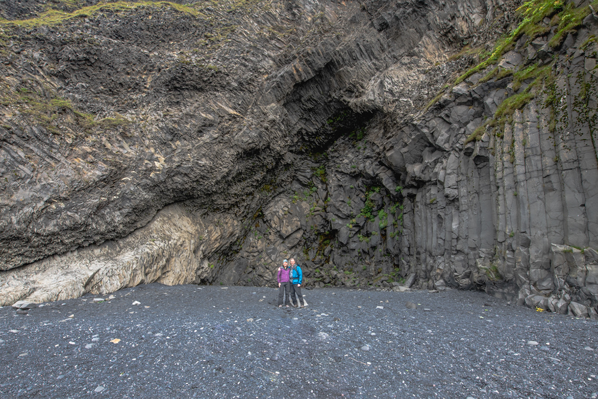
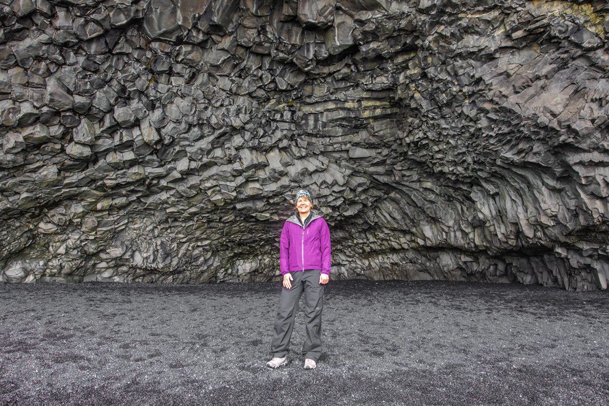
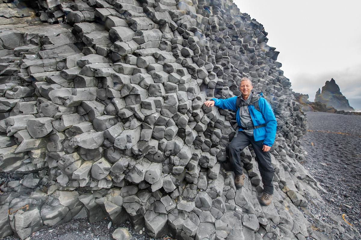
Distant view of Mt. Reynisfjall and Reynisdrangar basalt sea stacks in the background with a basalt arch on the foreground as viewed from the lower part of the Dyrhólaey peninsula.
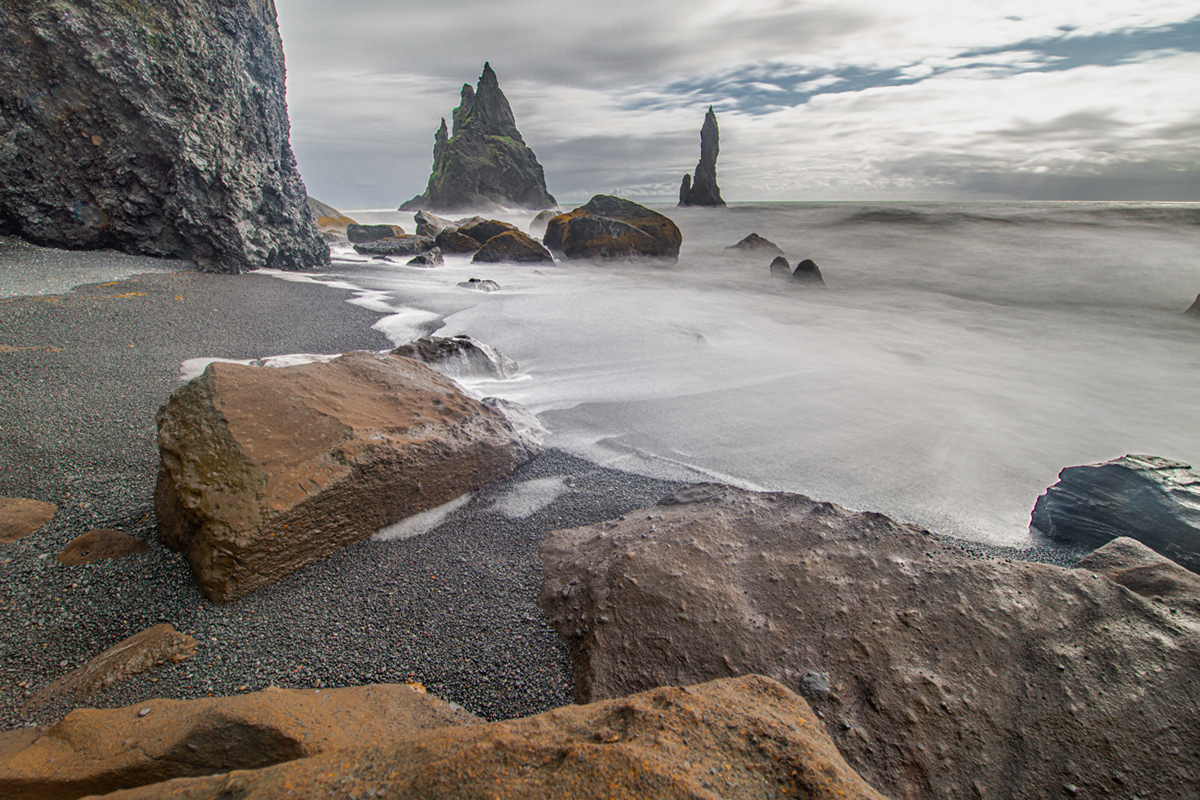
Arnardrangur (Eagle rock) basalt sea stack on the Kirkjufjara black sand beach with Mt. Reynisfjal and Reynisdrangar basalt sea stacks in the background.
Looking west from the lower Dyrhólaey peninsula towards the lava arch and the upper Dyrhólaey peninsula.
Sue looking south into the North Atlantic Ocean from the lower Dyrhólaey peninsula.
Sue looking south into the North Atlantic Ocean from the lower Dyrhólaey peninsula.
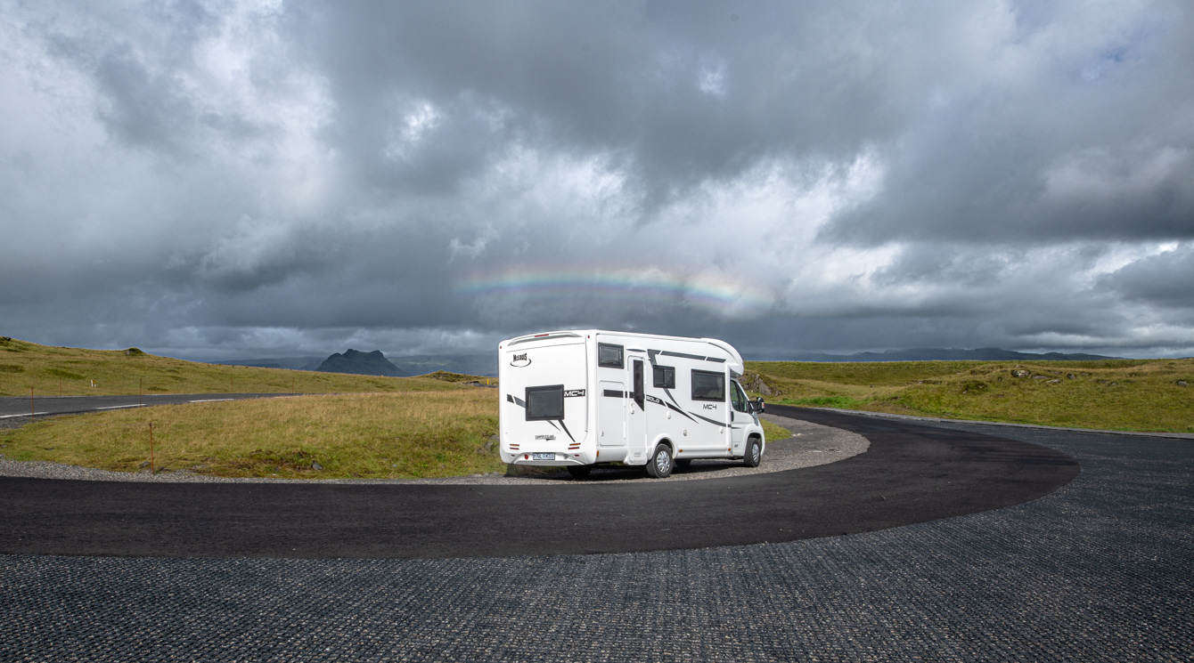
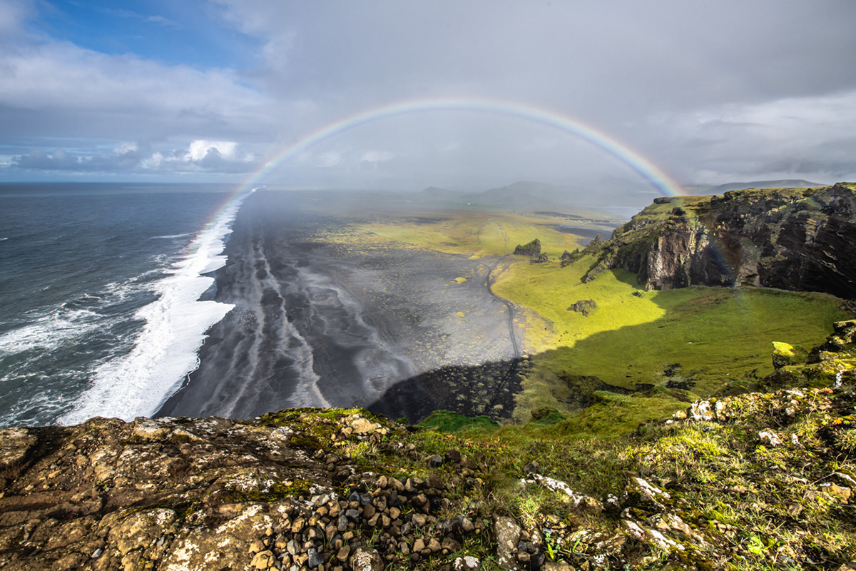
Thor, our motorhome away from home, under the rainbow as seen from the lower Dyrhólaey peninsula.
Looking east towards the Dyrhólaey peninsula from Hjörleifshöfði Mountain
Looking east towards the Dyrhólaey peninsula from Hjörleifshöfði Mountain
Looking out from Gýgjagjá (Yoda Cave)
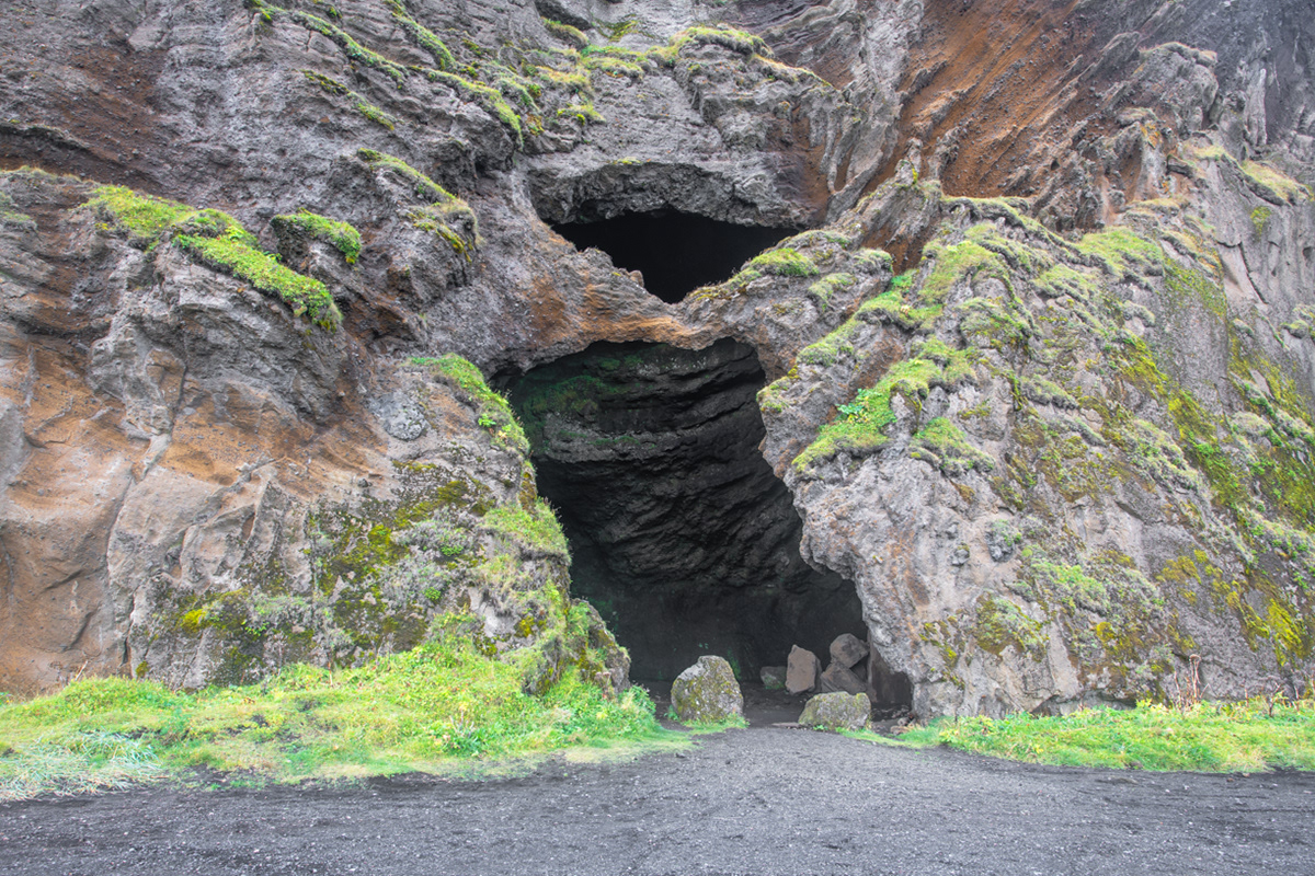
Looking into Gýgjagjá (Yoda Cave)
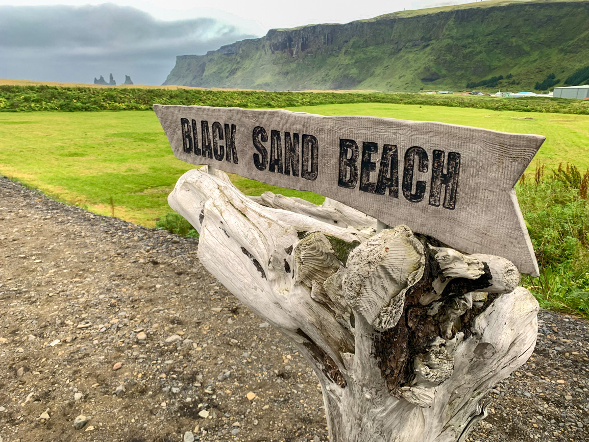
A sign points to the black sand beach in Vík í Mýrdal
Black sand beach in Vík í Mýrdal
Sunset over Kirkjubaejarklaustur
Sunset over Kirkjubaejarklaustur
Stjórnarfoss in Kirkjubæjarklaustur
Stjórnarfoss in Kirkjubæjarklaustur

Stjórnarfoss in Kirkjubæjarklaustur
Hamrafoss in Foss a Sidu
It was a long walk from Route 1 where we parked to get to the Svínafellsjökull Glacier which can be seen off in the distance in the upper right corner of this image.
You can see the blue ice of the Svínafellsjökull Glacier in the upper right of this image.
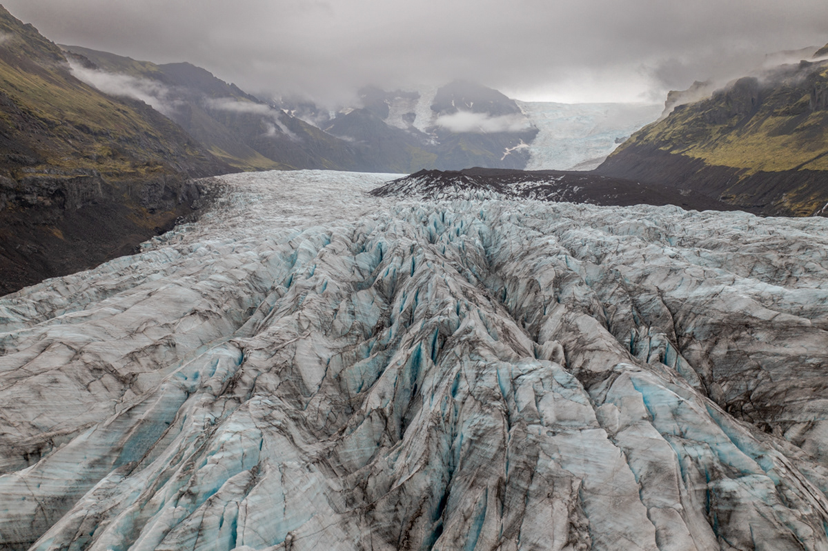
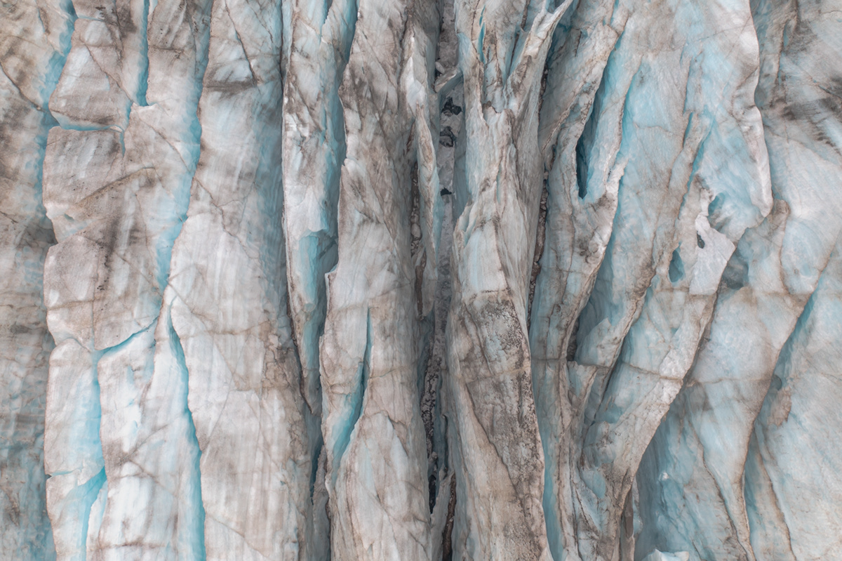
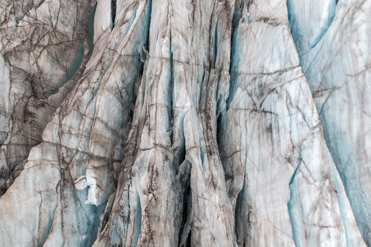
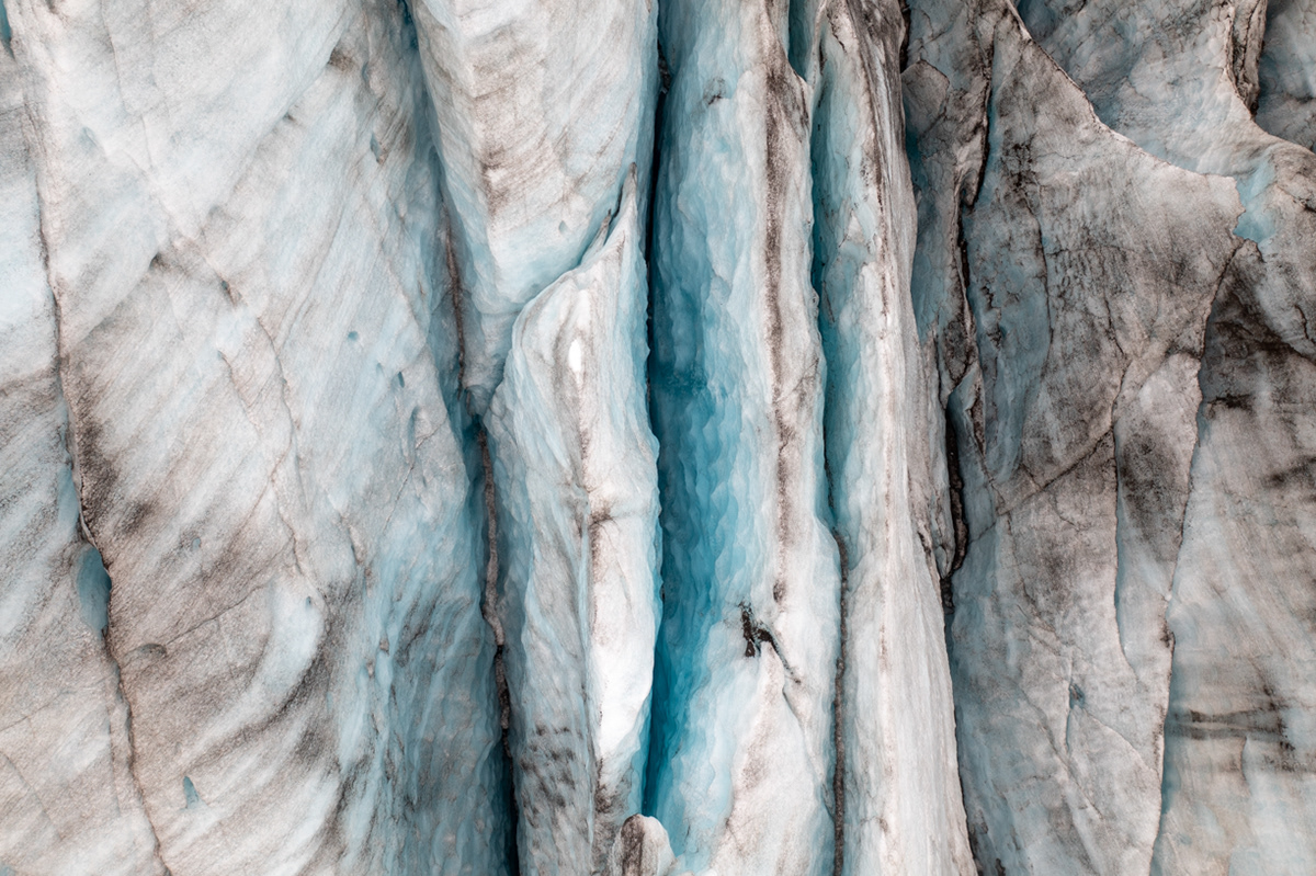
Svínafellsjökull Glacier
Sue at the end of the Svínafellsjökull Glacier
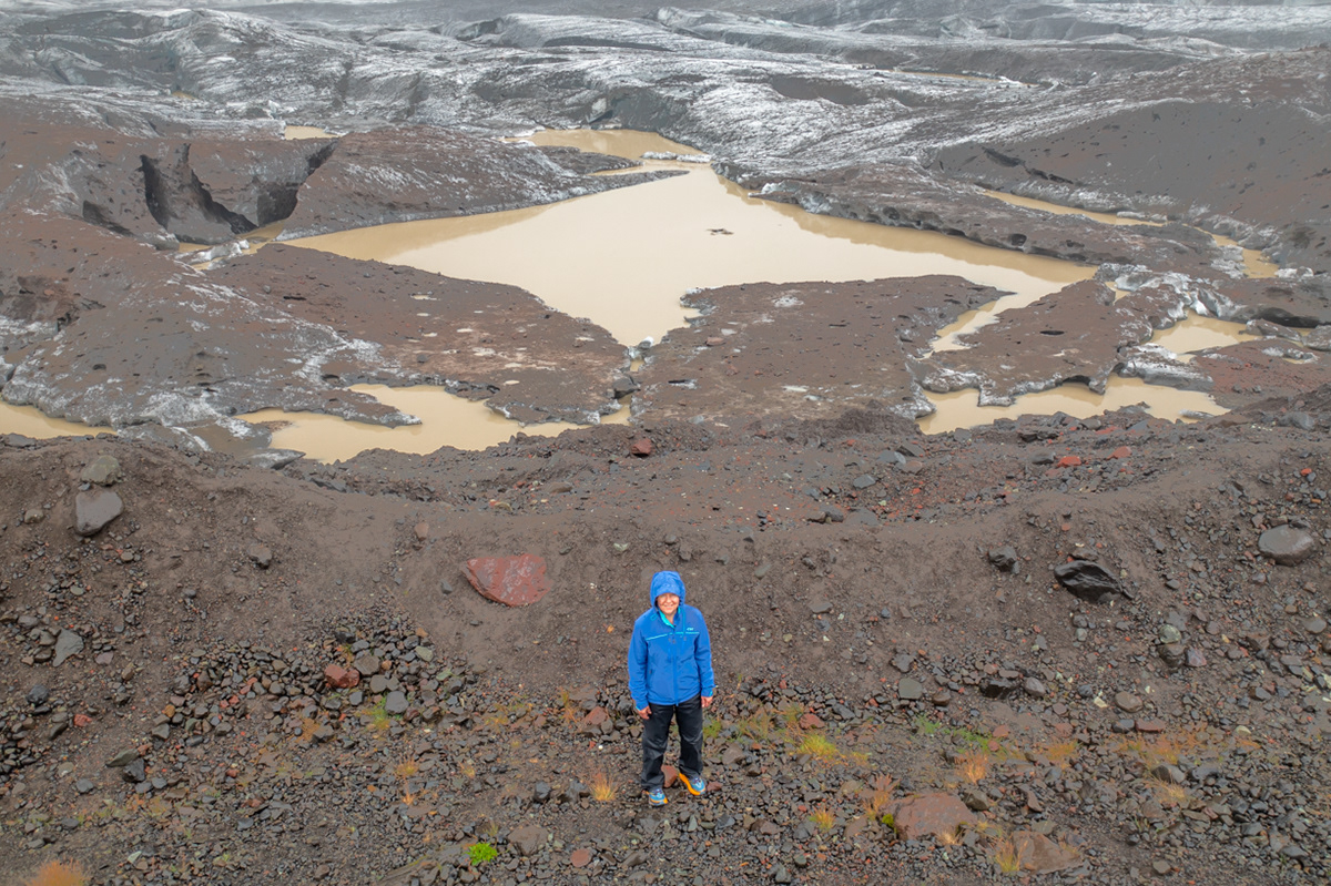
We hiked alongside the Svínafellsjökull Glacier just because most others didn't. It allowed us higher vantage point to view the enormity of what was before us.
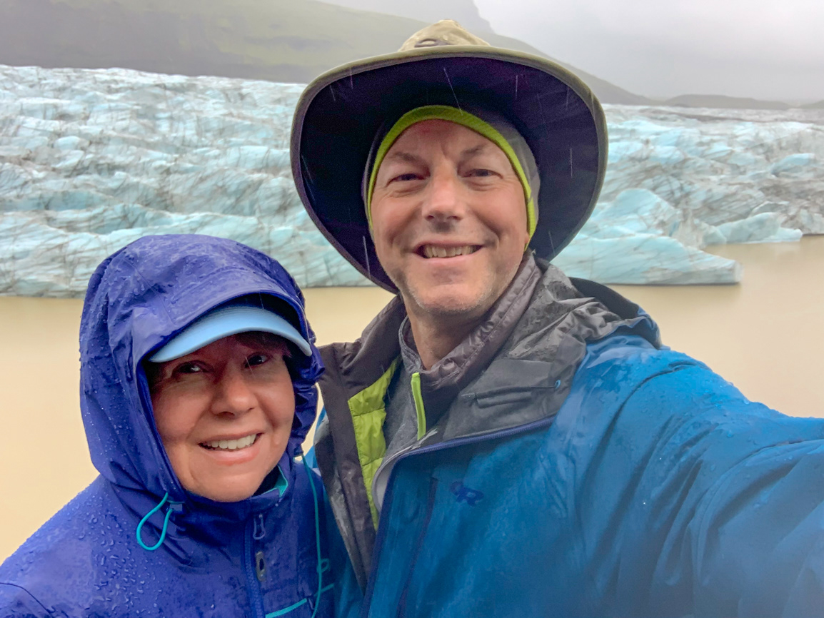
As you can see by the streaks of water in this image, it rained most of the time we were at the Svínafellsjökull Glacier. Luckily for us, we planned for it and went hiking anyway.
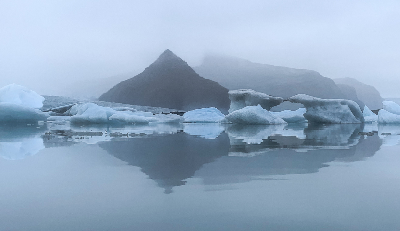
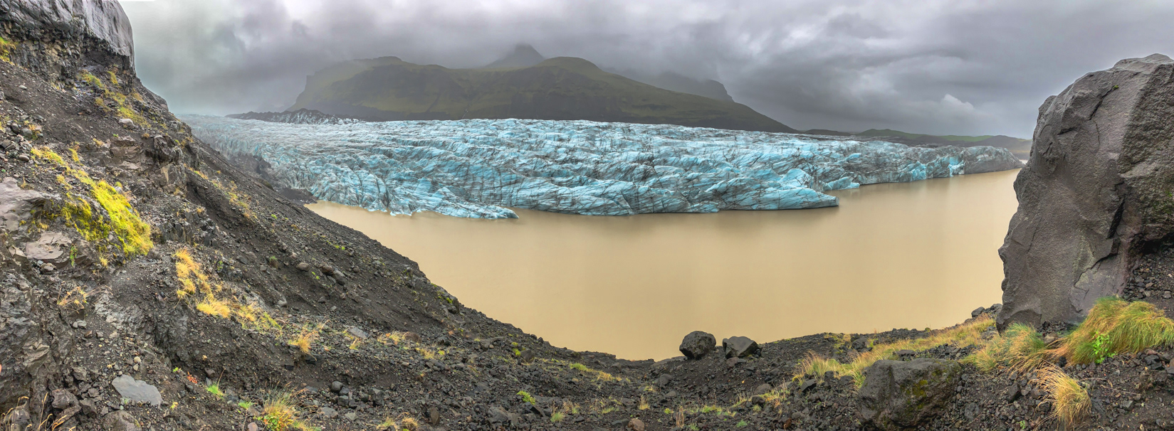
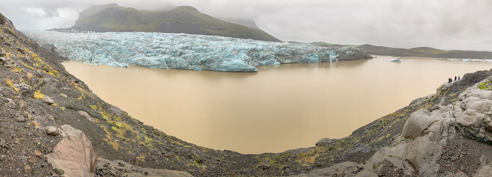
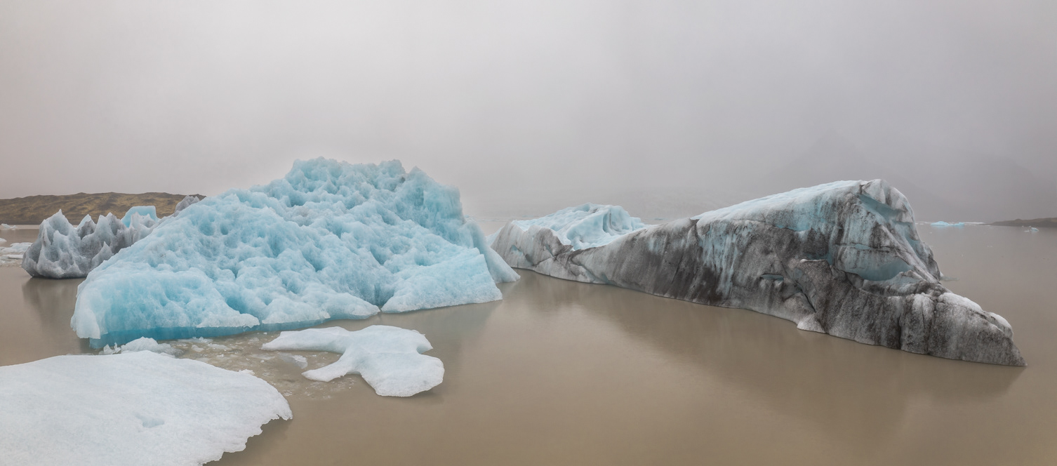
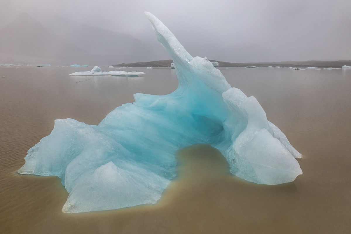
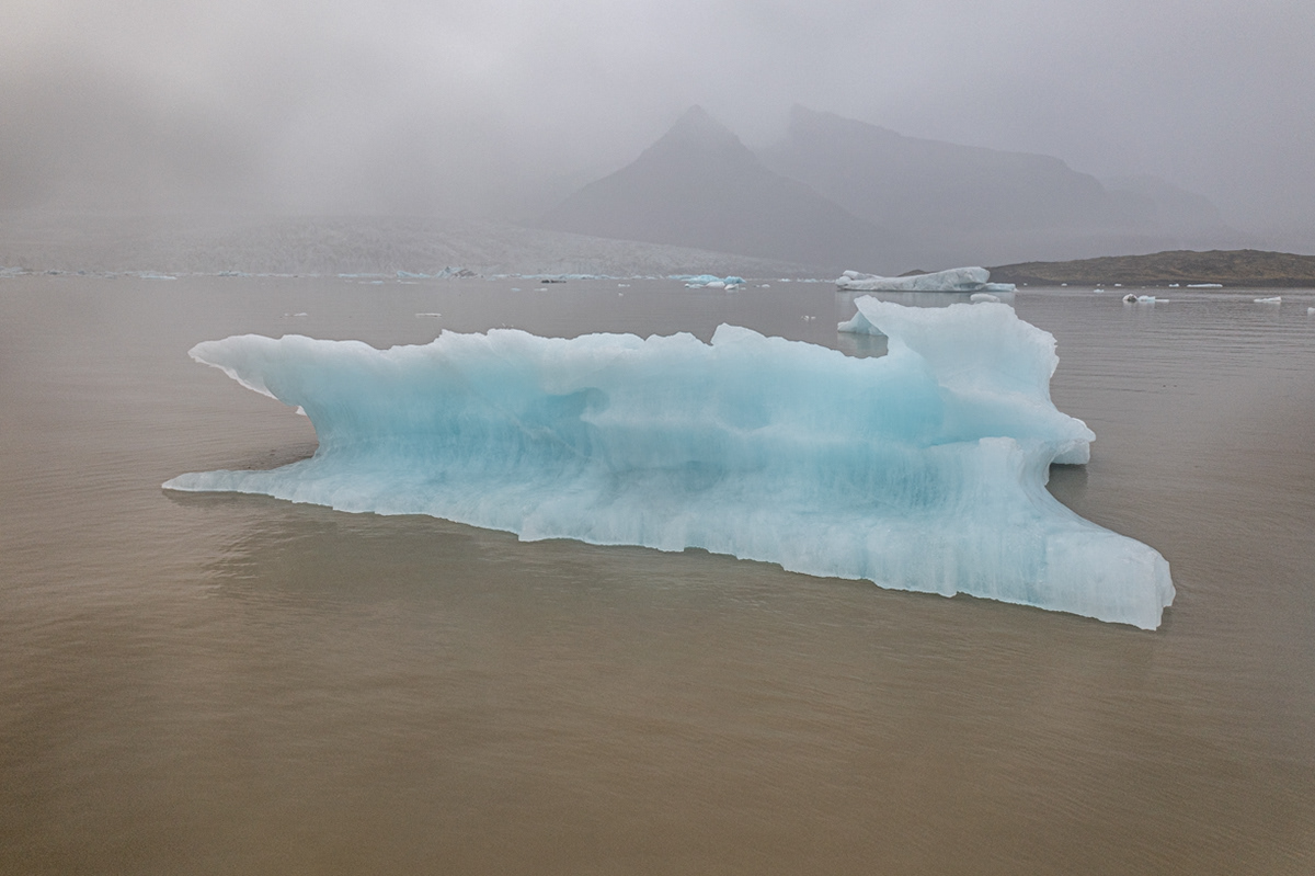
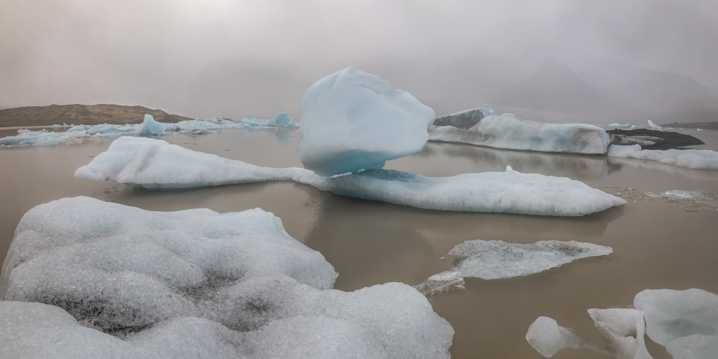
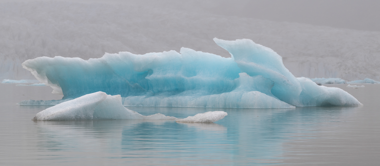
The combination of a heavy fog and drizzle put a damper on any sounds at the Fjallsárlón Glacial Lagoon. What we could hear, however, was the drips of water coming off of the melting icebergs.
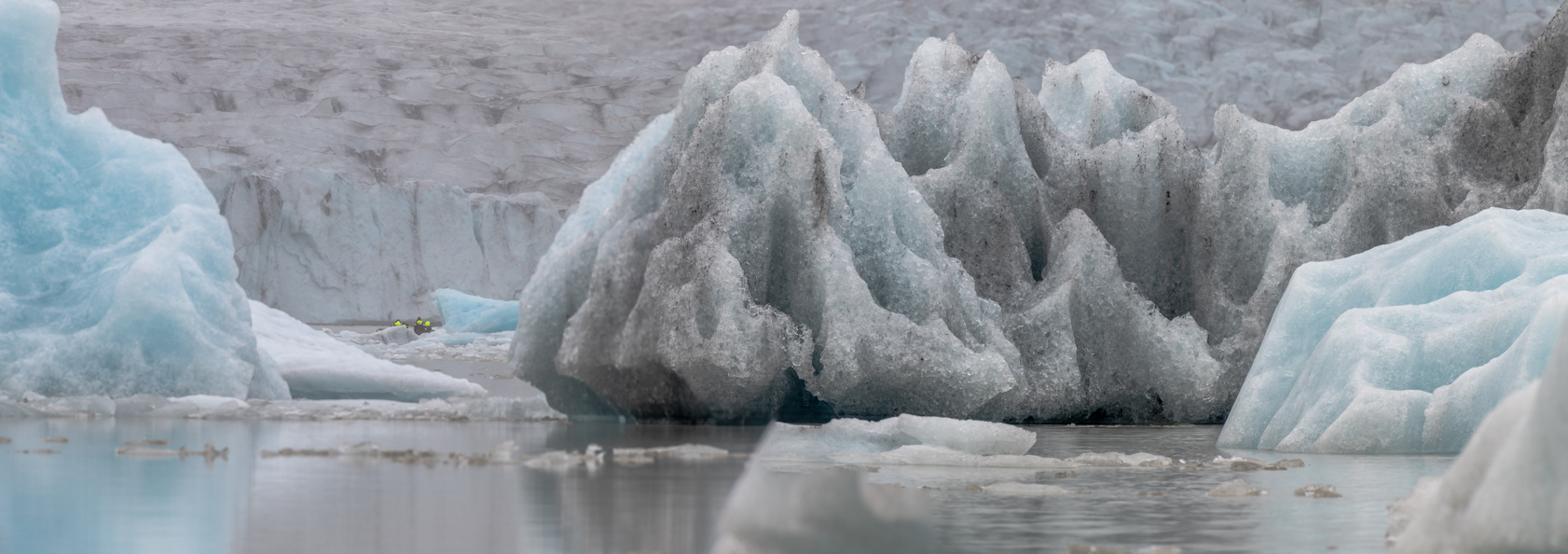
Note the people in the yellow life jackets in the boat seen in the left side of this image taken at the Fjallsárlón Glacial Lagoon. That gives you a sense of how big these blocks of ice really are.
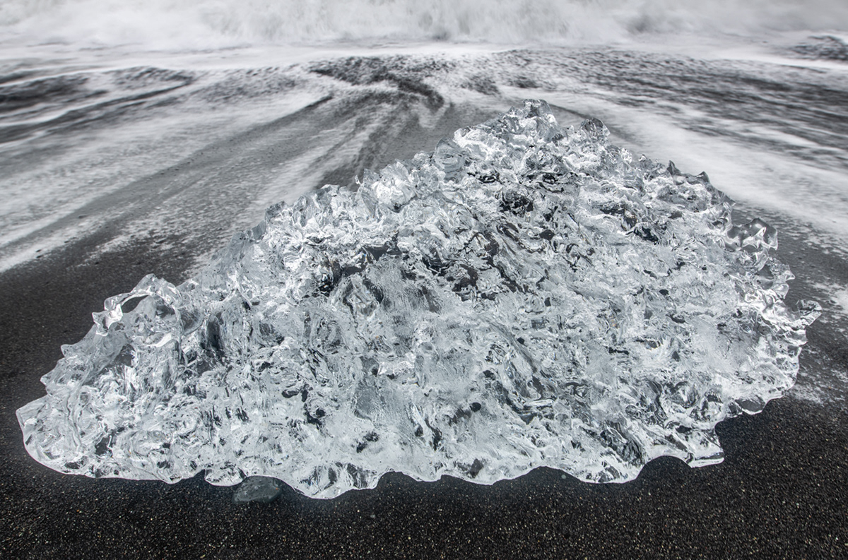
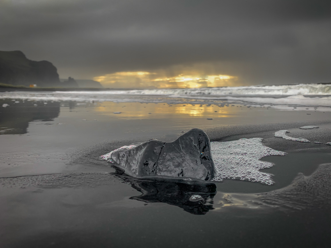
Diamond Beach
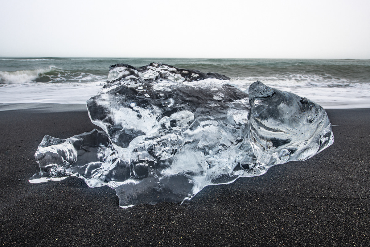
Diamond Beach
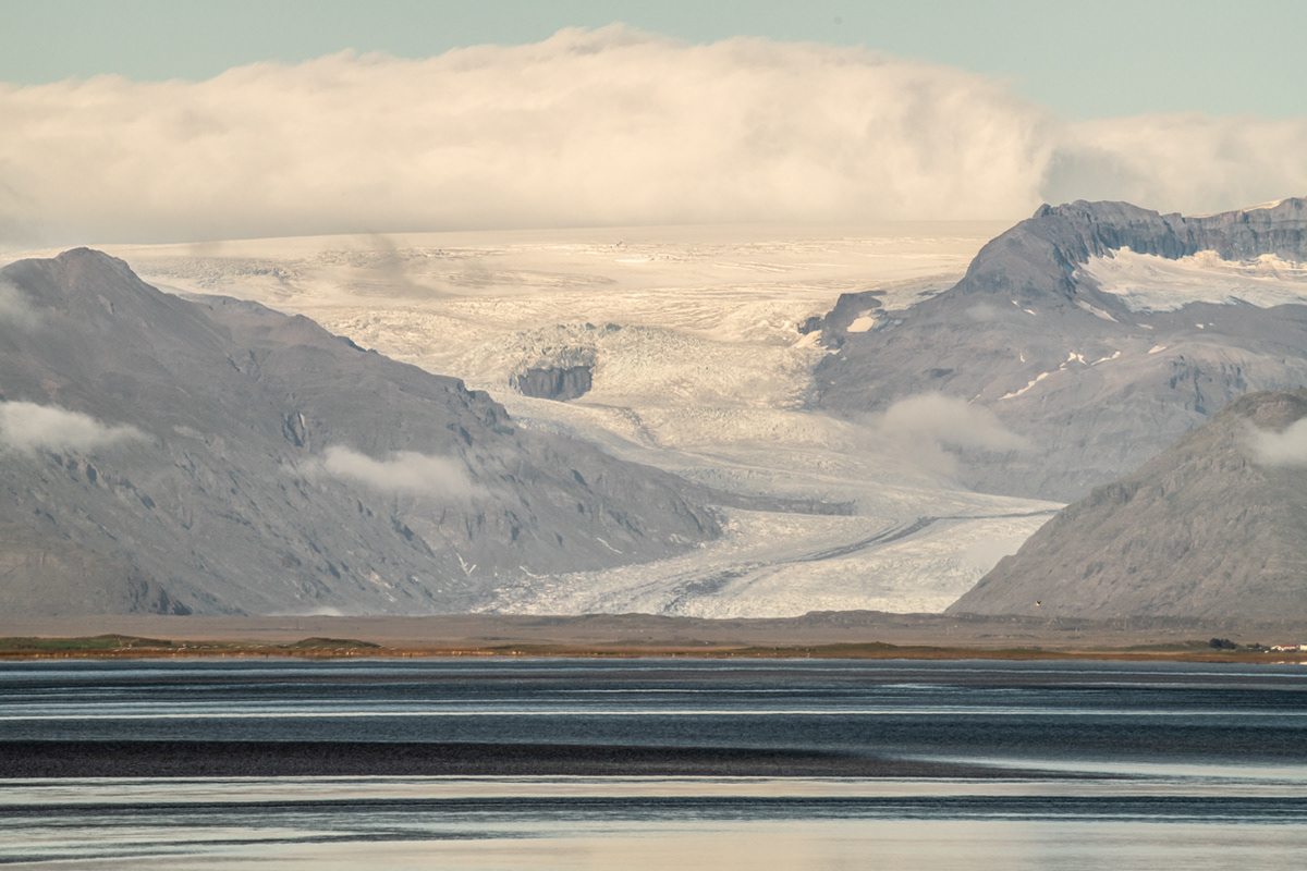
Heinabergsjökull glacier tongue next to Fláajökull as viewed from our campsite in Höfn.
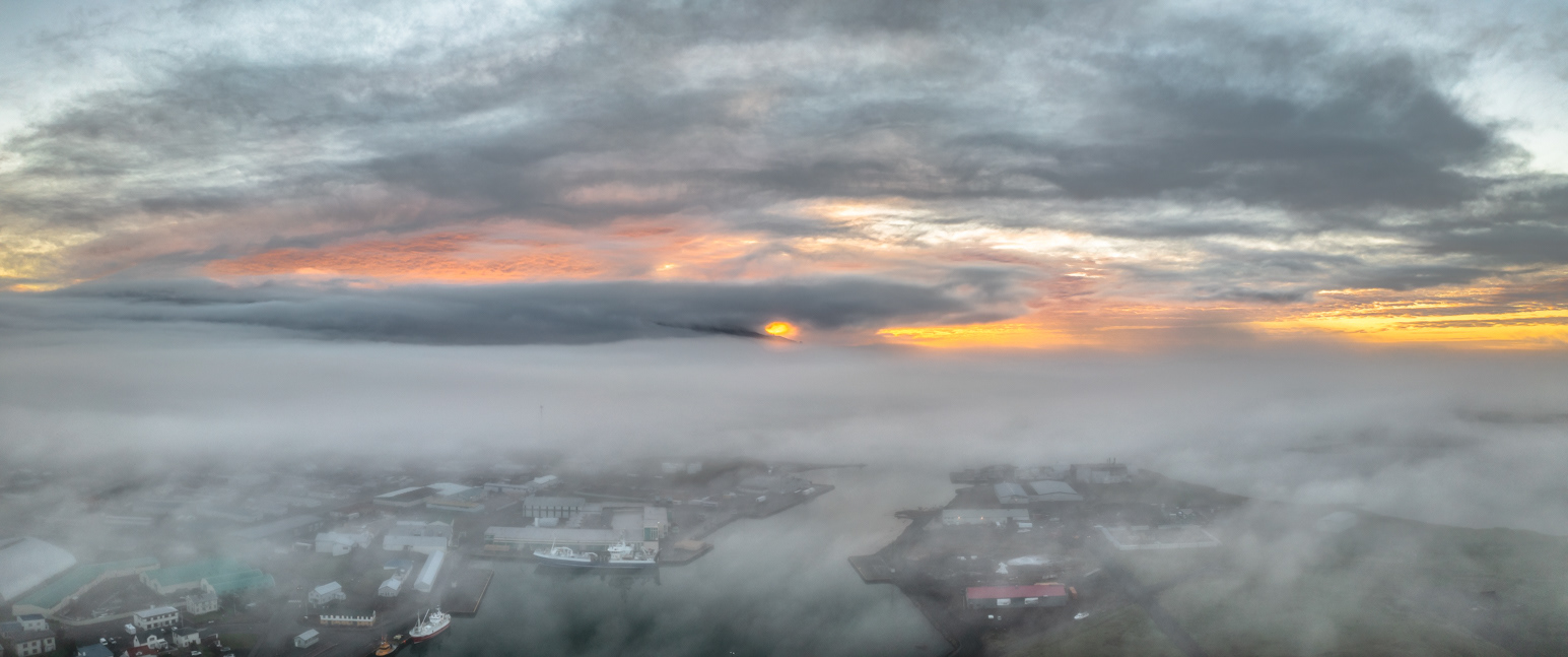
Sunrise over Höfn.
Lighthouse on Hellir, an island just off the southeast coast near Höfn.
Looking east from Höfn with Vestrahorn in the background.
Staring off into the sea from Höfn.
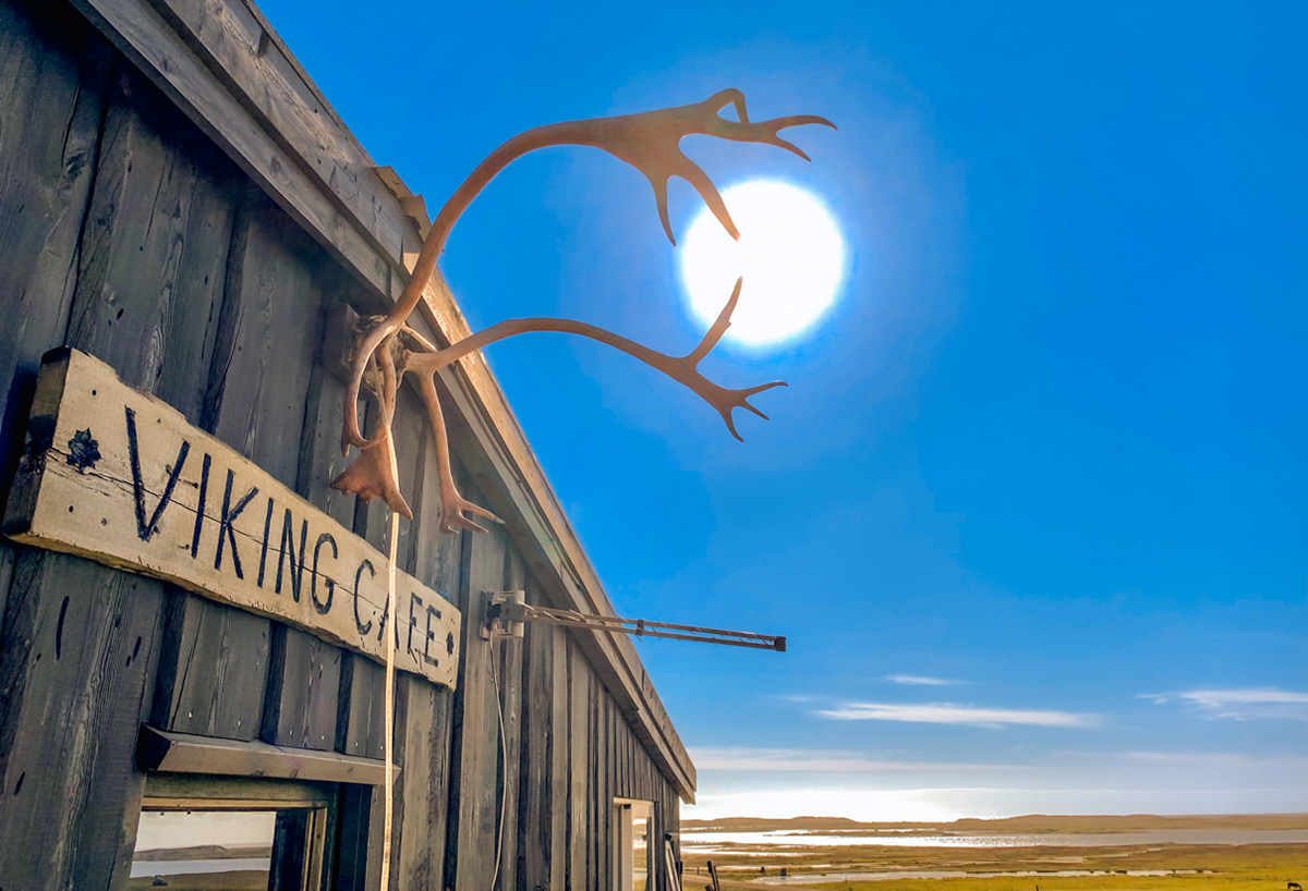
Reindeer antlers catching the sun at the Viking Cafè at Vestrahorn.
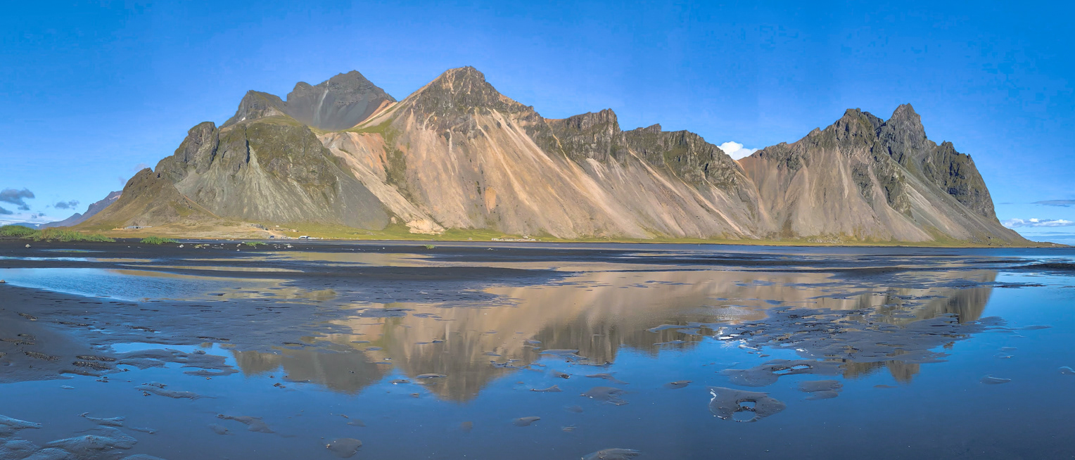
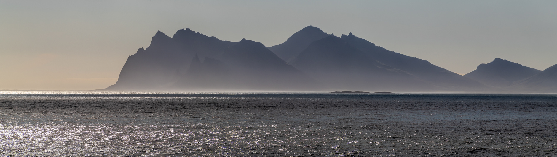
Vestrahorn
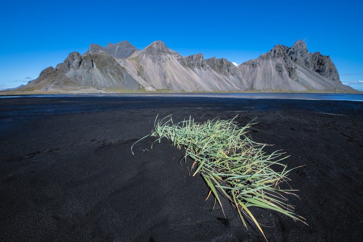
Vestrahorn
Looking over the the Hvalnes Nature Reserve towards Eystrahorn
Looking over the the Hvalnes Nature Reserve towards Eystrahorn
Looking over the the Hvalnes Nature Reserve towards Eystrahorn
Seyðisfjörður church in the Eastfjords of Iceland
Gugufoss
Boats at Seyðisfjörður
Boats at Seyðisfjörður
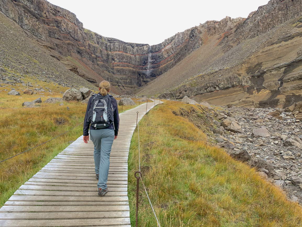
Walking the path to Hengifoss
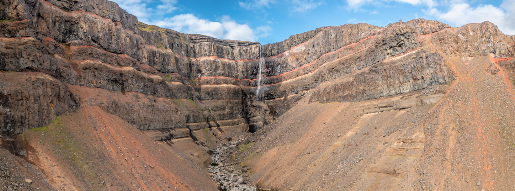
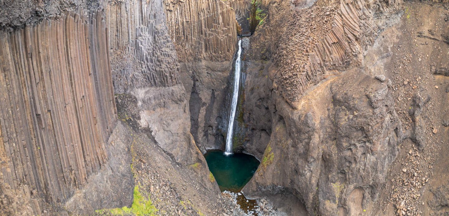
Hengifoss
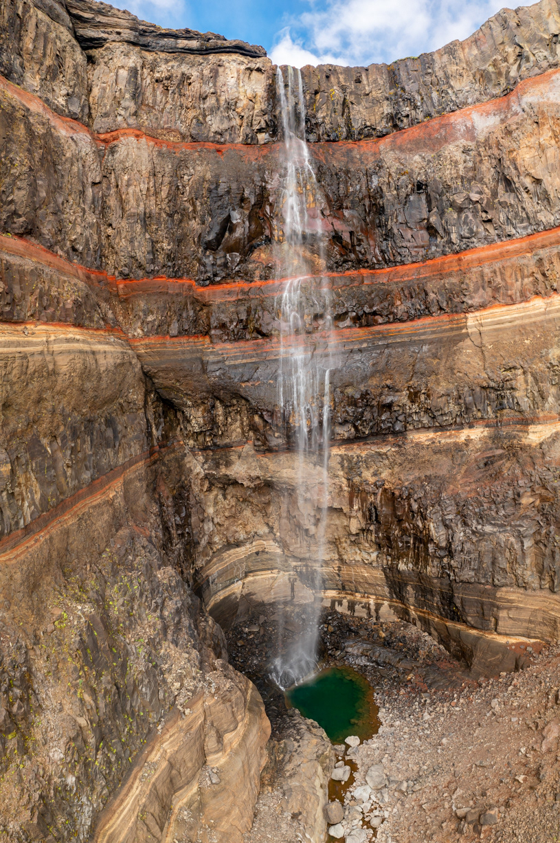
Hengifoss
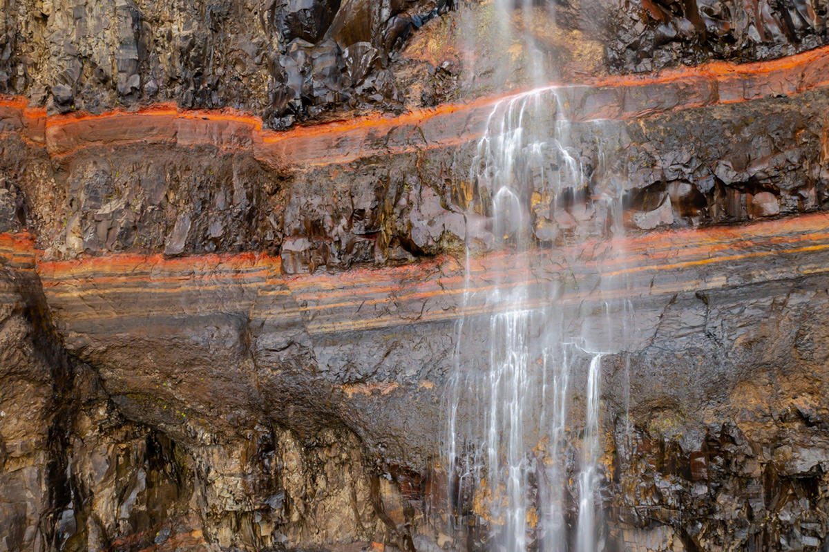
Hengifoss
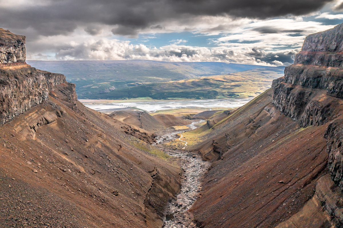
Looking towards Lake Lagarfljot from Litlanesfoss
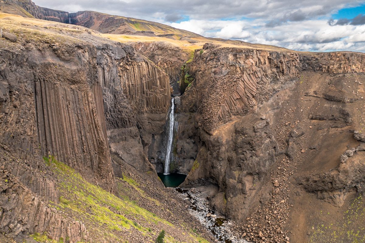
Litlanesfoss with Hengifoss in the background
Litlanesfoss
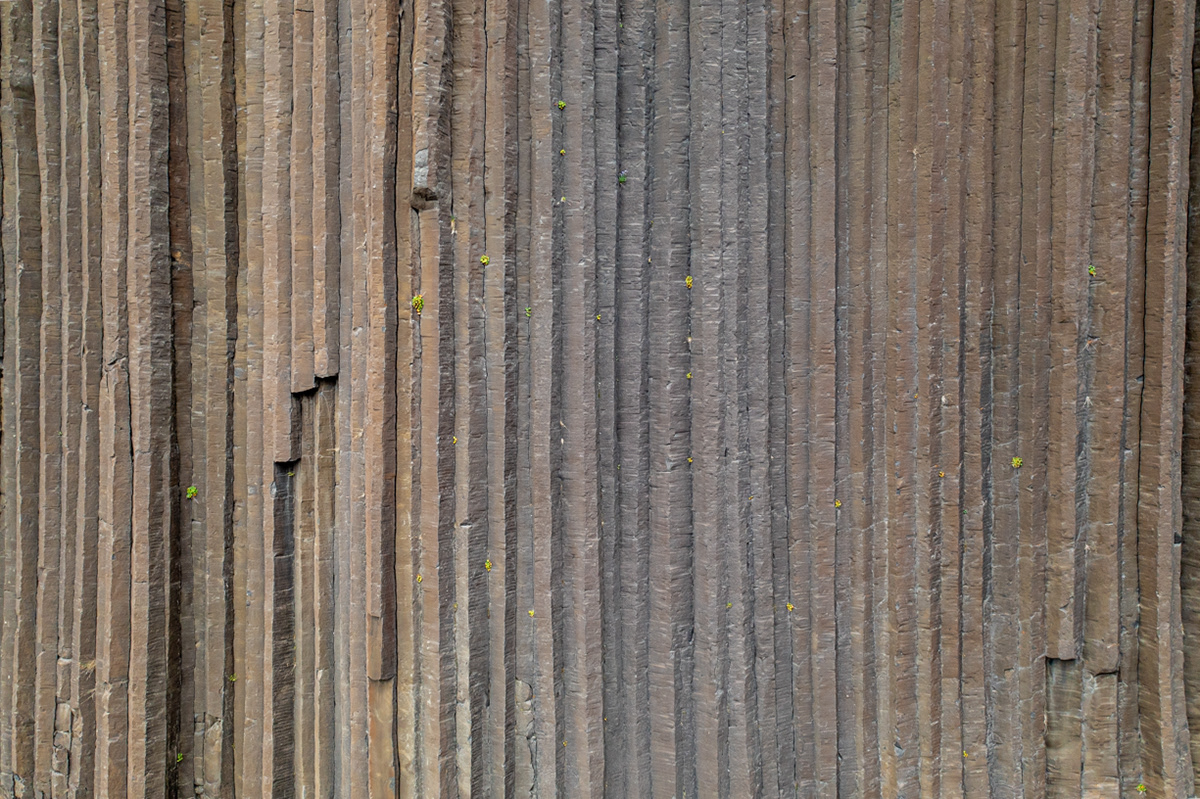
Basalt columns at Litlanesfoss
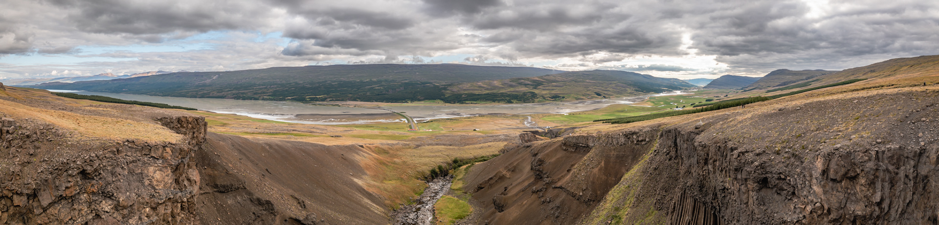
Looking towards Lake Lagarfljot from Litlanesfoss

Studalagil Canyon

Studalagil Canyon
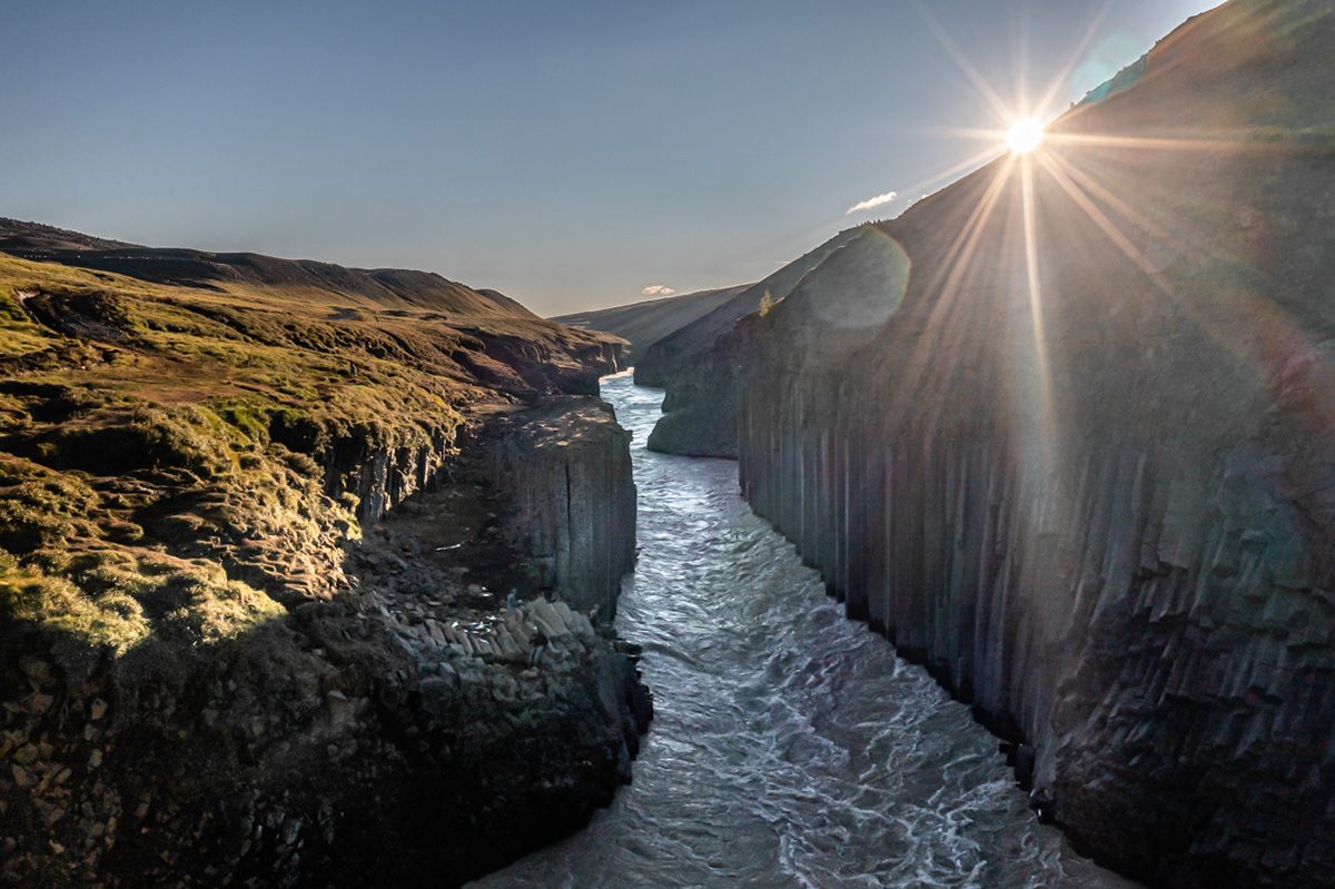
Sunset over Studalagil Canyon
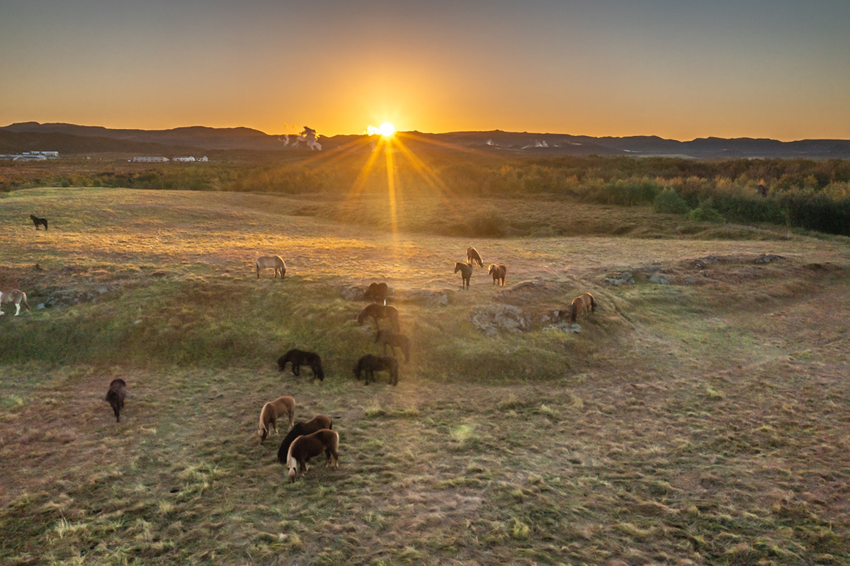
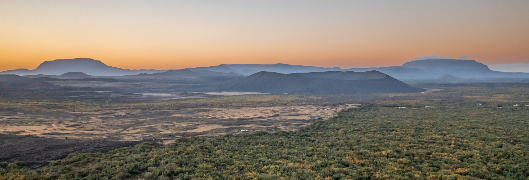
Sunrise over Mývatn
Sunrise over Mývatn with Búrfell (left), the Hverfjall crater (center), and Heilagsdalsfjall (right) off in the distance.
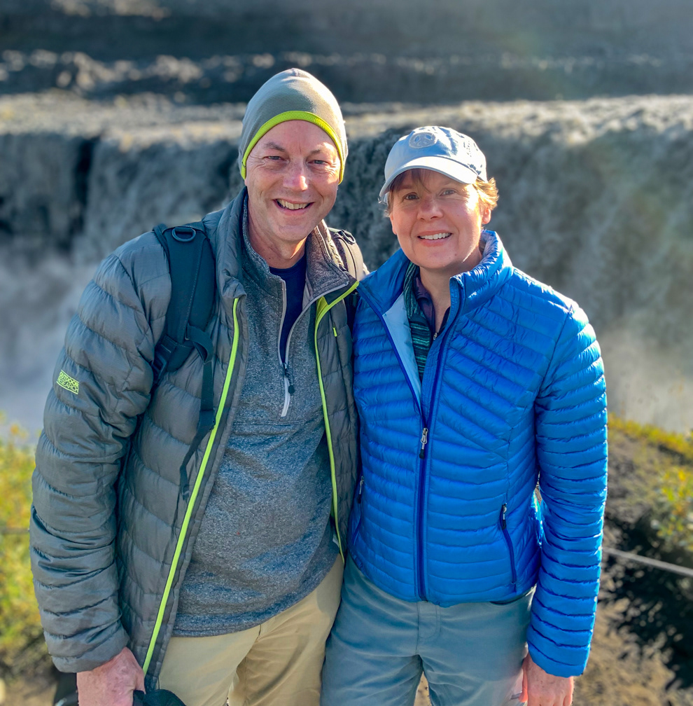
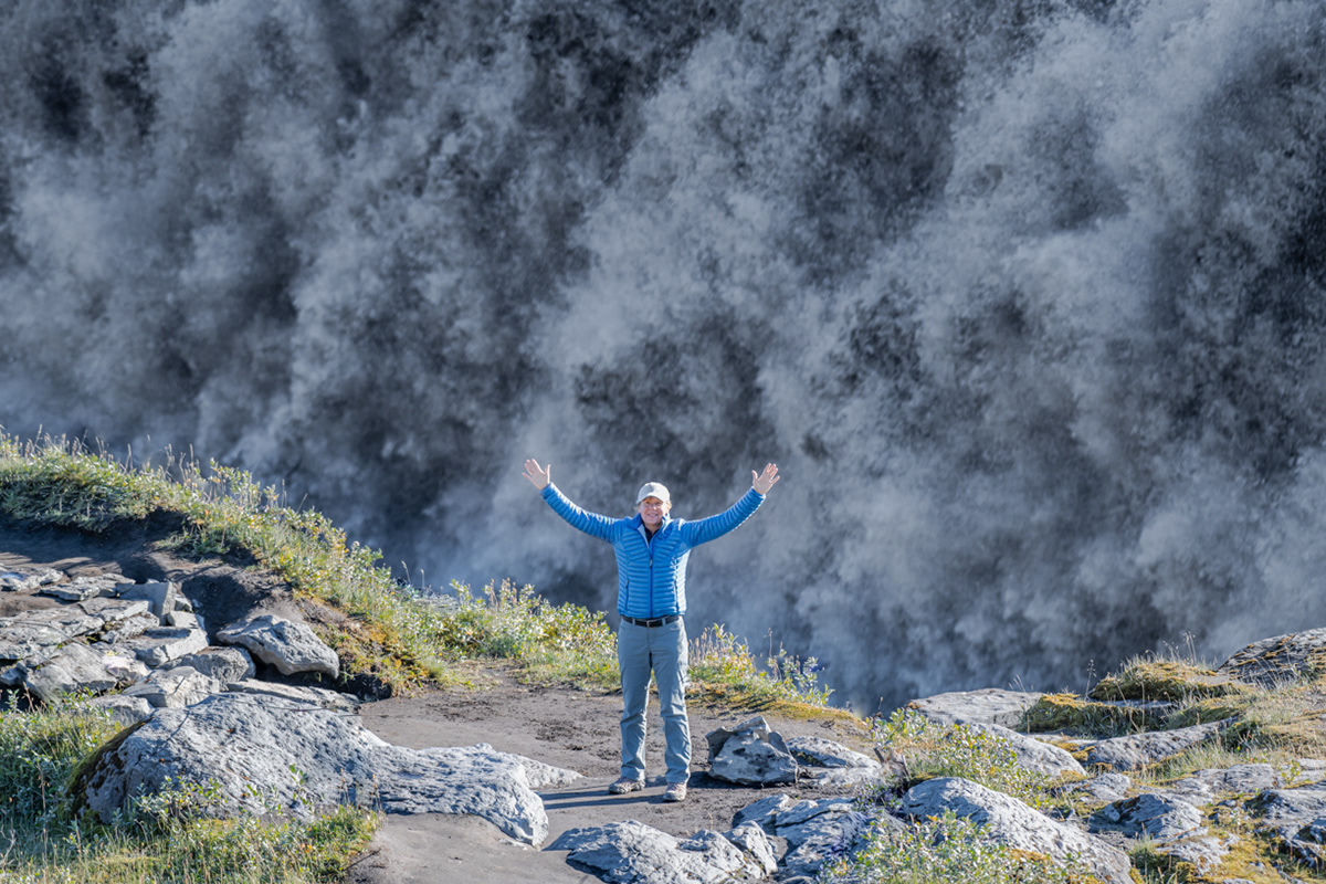
Sue and I in front of Dettifoss
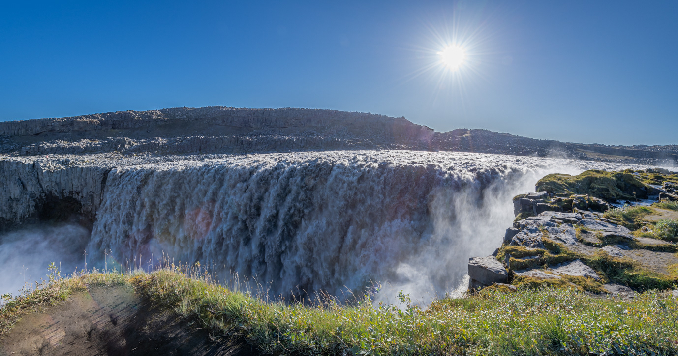
What's deceiving about this photo of Dettifoss is that it doesn't give you a true sense of how large and powerful this waterfall is.
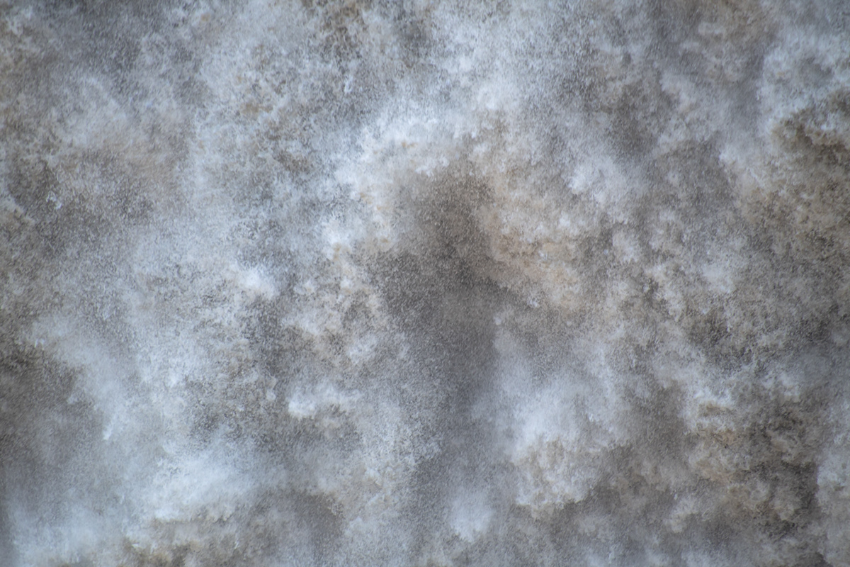
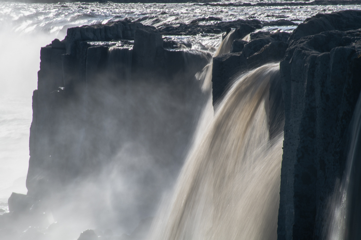
Dettifoss
Selfoss, located just up river from Dettifoss.
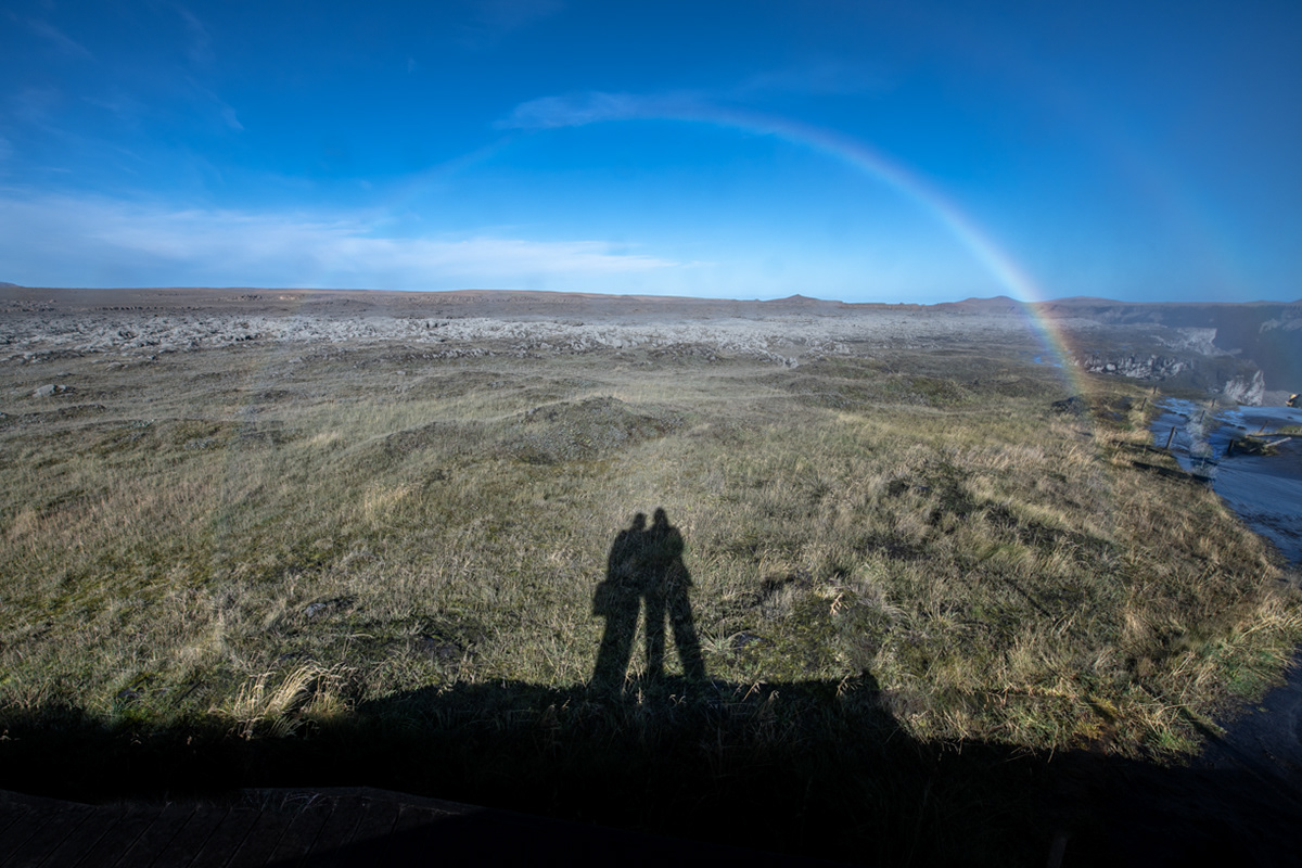
Rainbow over Dettifoss
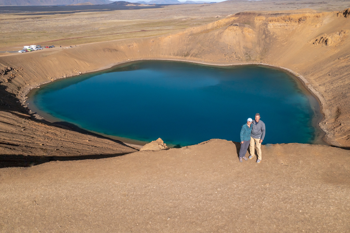
Viti crater
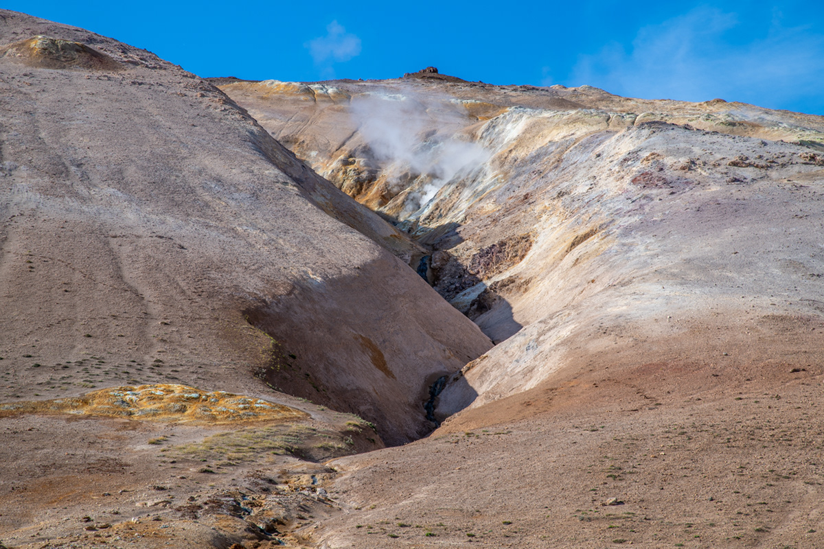
Námafjall Geothermal Area. Notice the steam coming out of the ground.
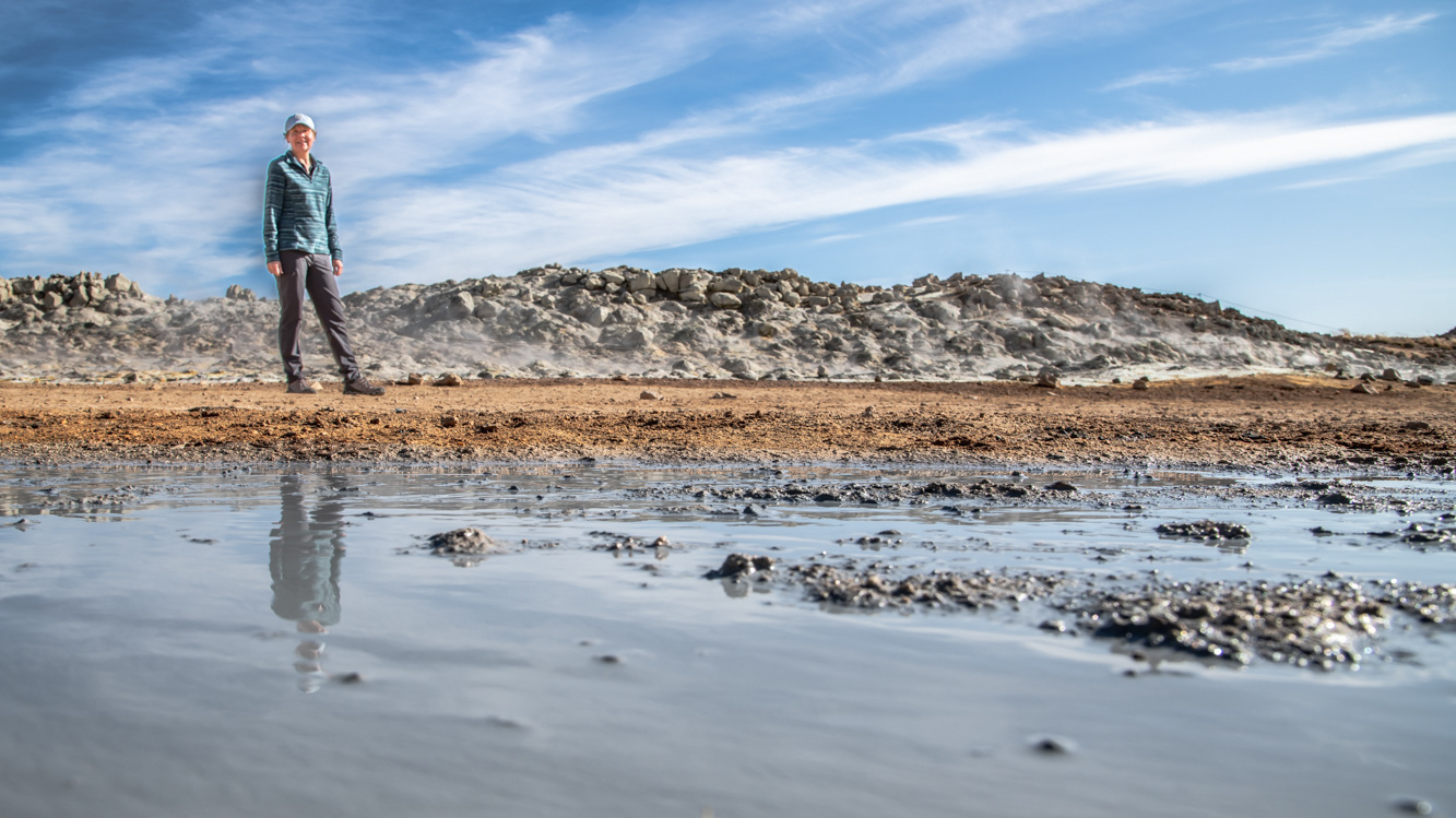
Sue at the Námafjall Geothermal Area. The water in the foreground is steaming hot.
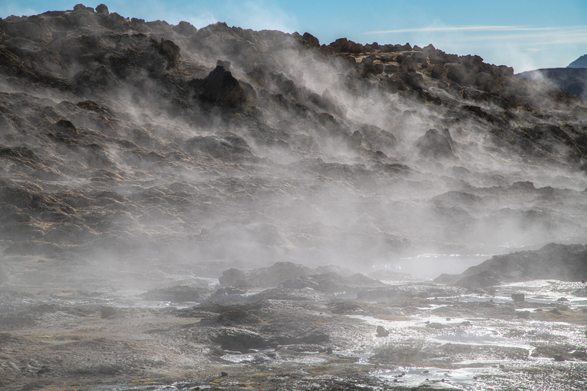
Námafjall Geothermal Area
The low sun allowed me to cast a long shadow into the Hverfjall crater.
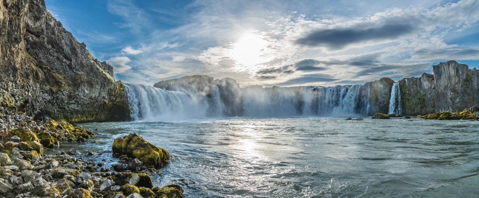
Goðafoss from the water's edge.
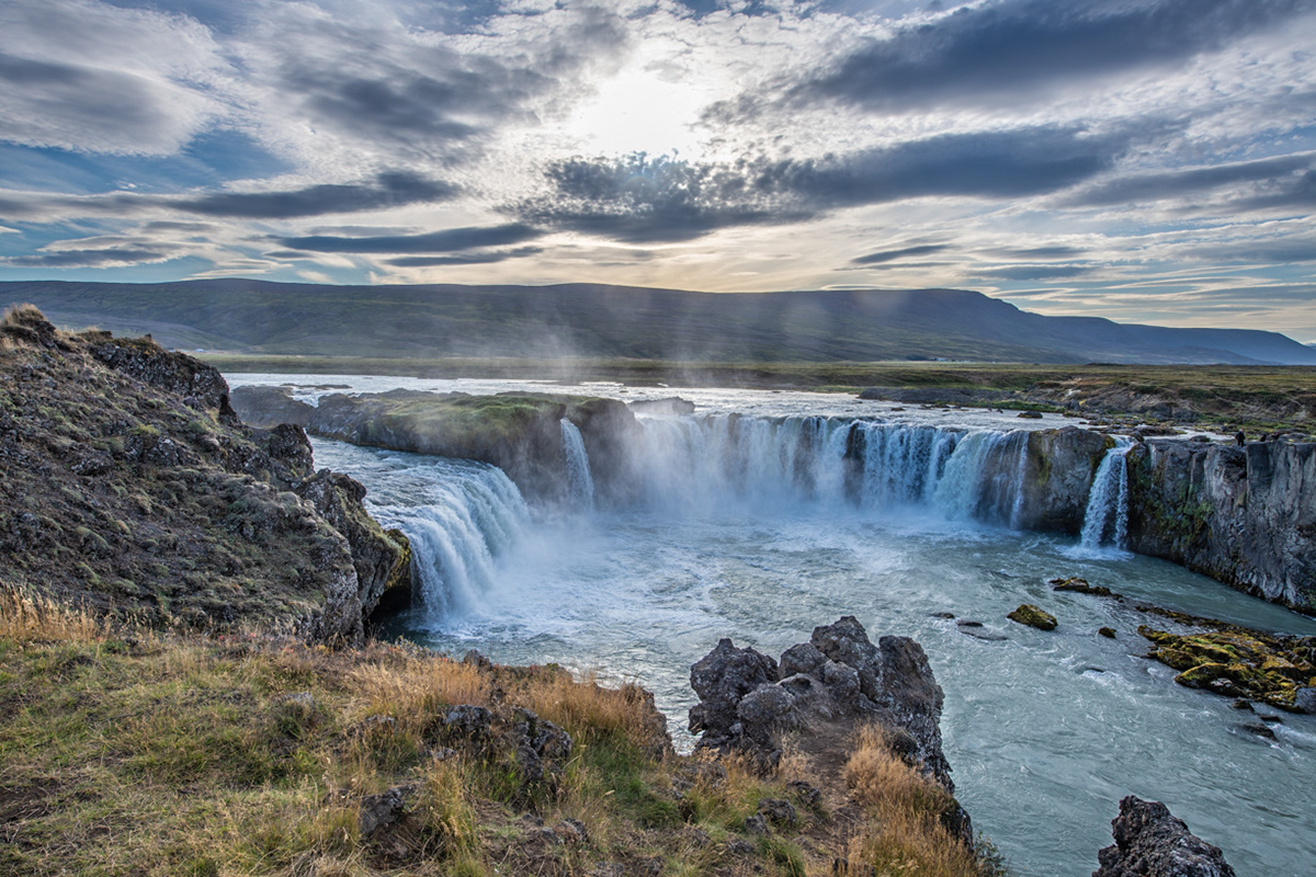
Goðafoss from the upper trails edge.
Goðafoss in slow motion
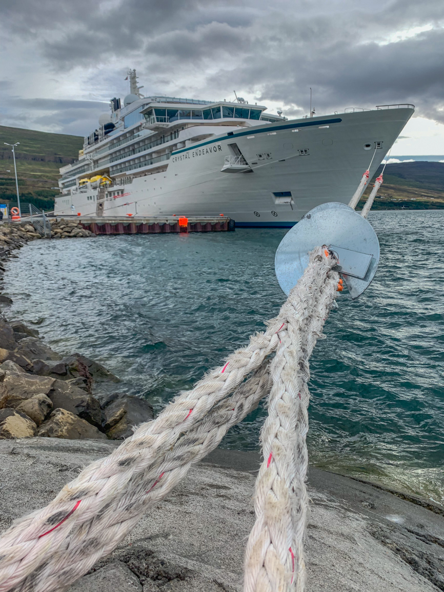
The northern city of Akureyri

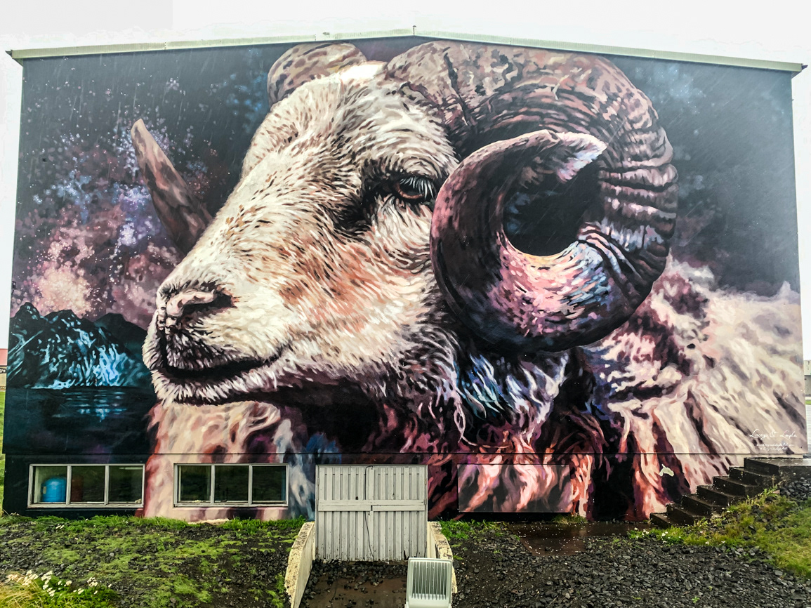
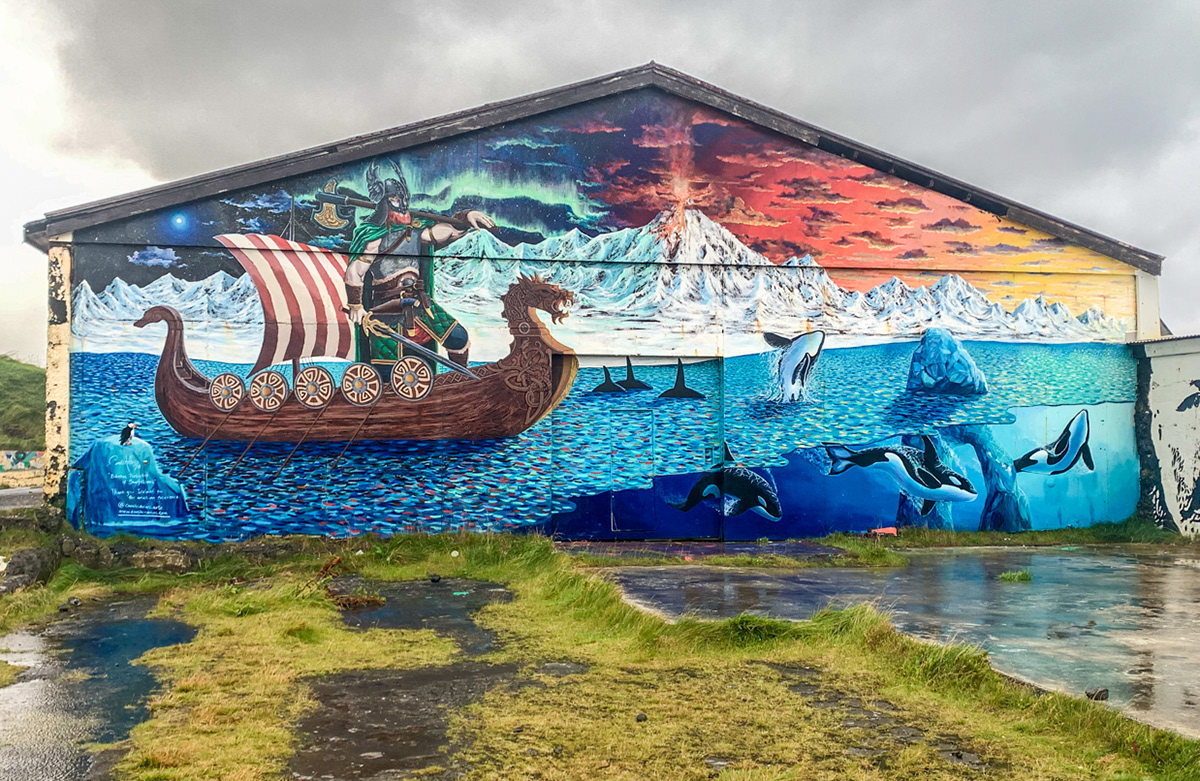
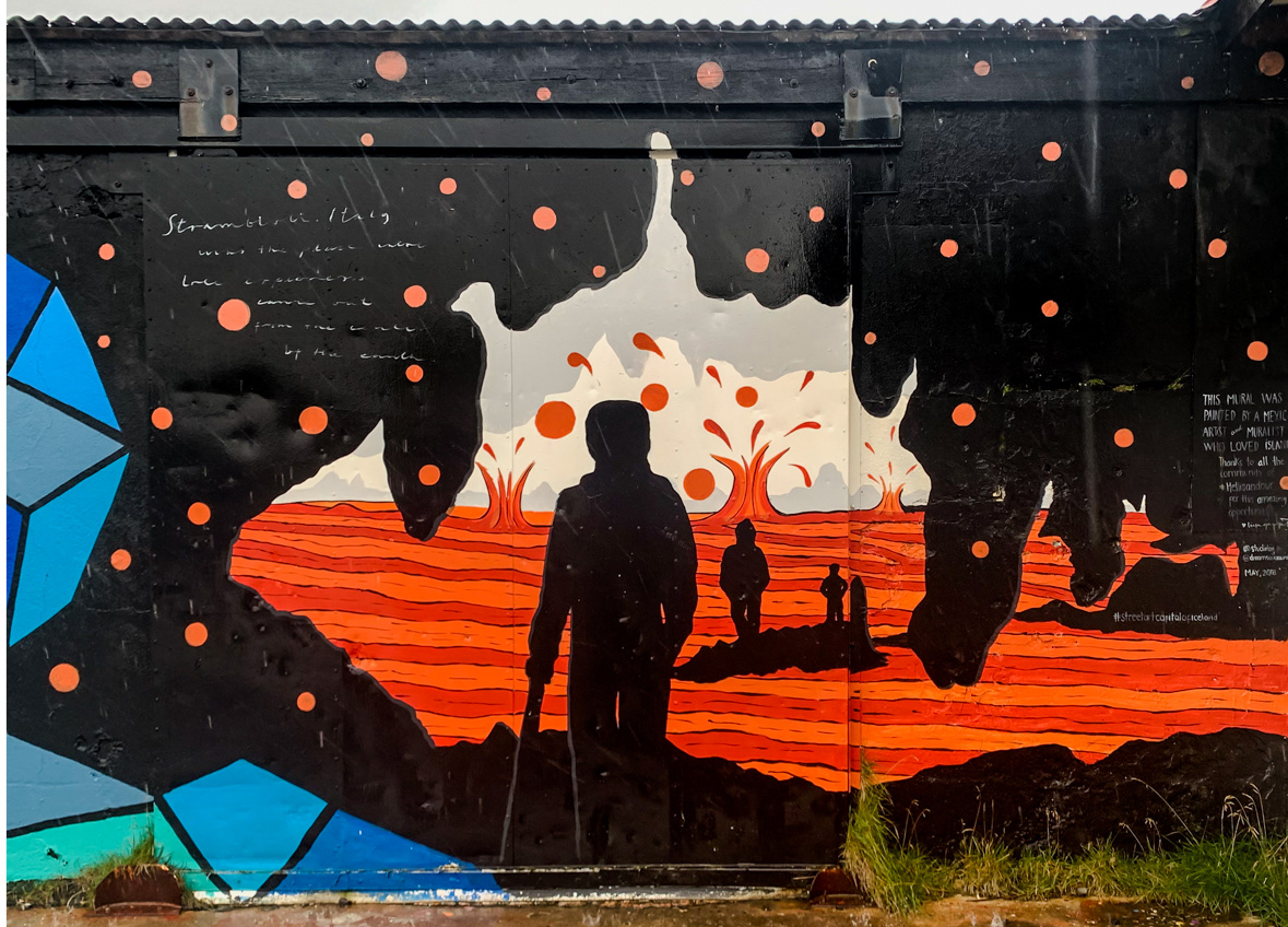
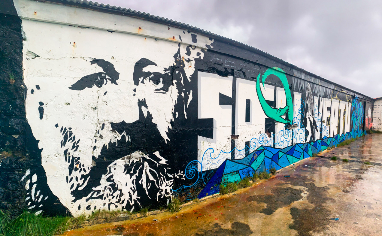
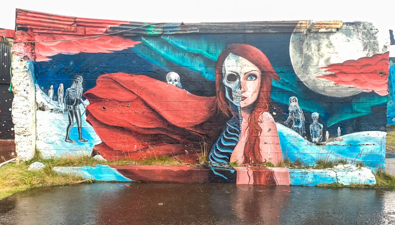
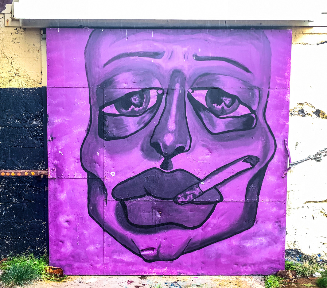
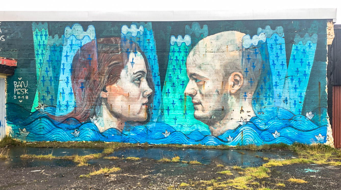
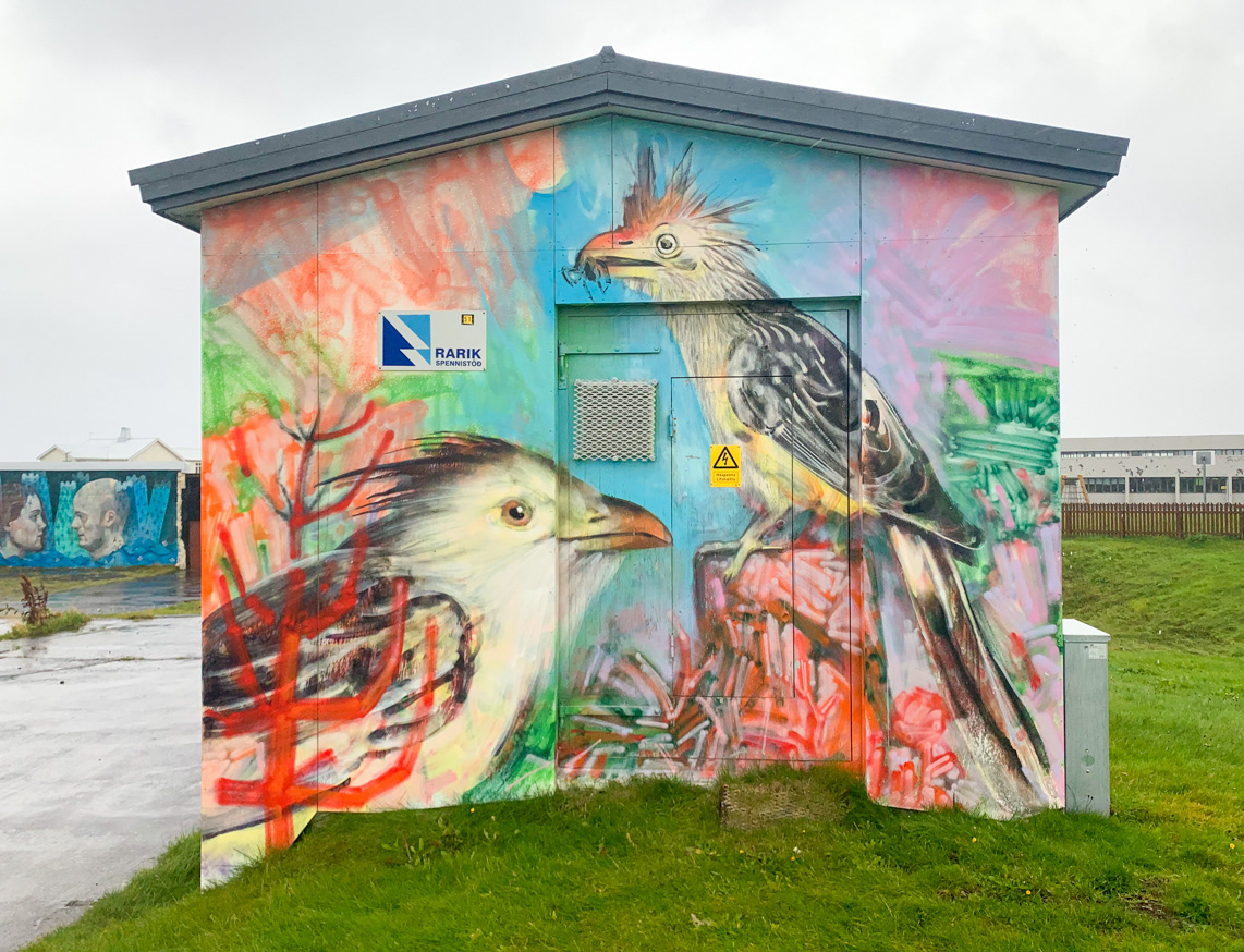
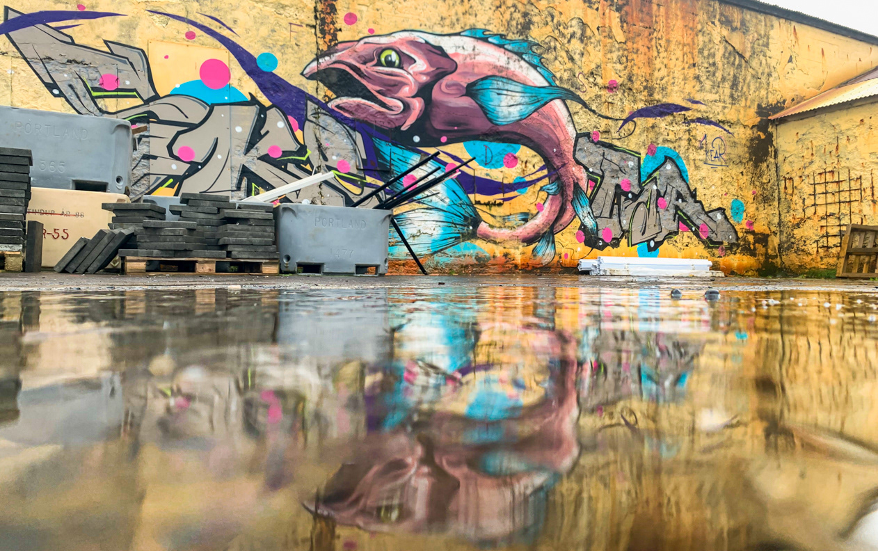
Murals painted on the sides of buildings in Akureyri
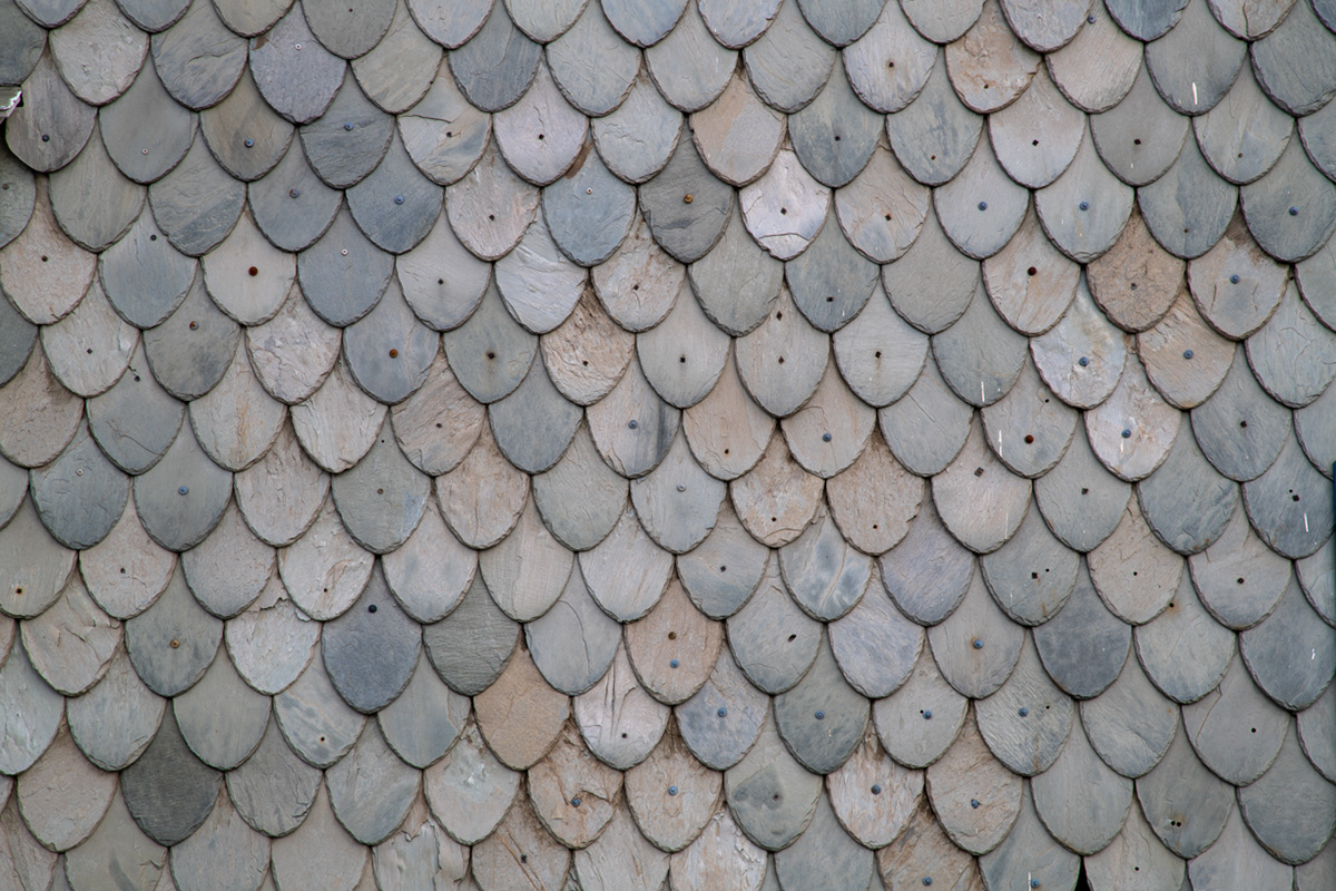
Slate siding on a house by the seaport in Akureyri

Bailey's ice cream and sauce in a bed of caramelized popcorn and berries.
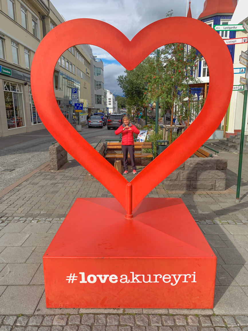
Instagram hashtag ready for posting from downtown Akureyri
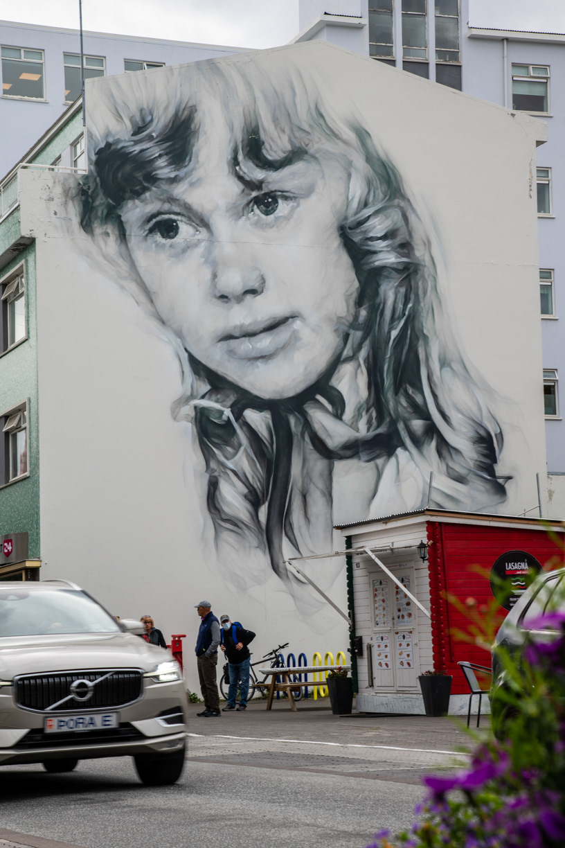
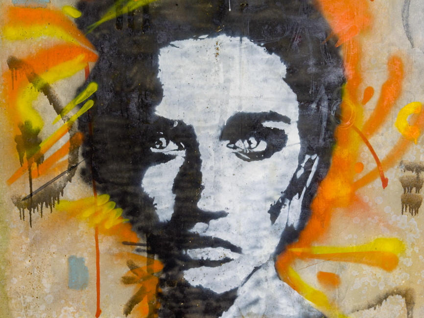
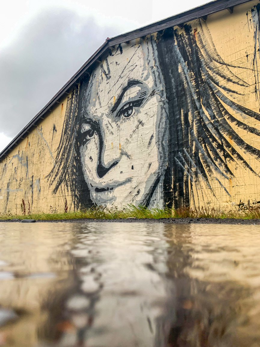
The image is a portrait of ‘Sia’ who had passed away in 2010 in Akureyri. This piece was painted by Guido Van Helten in 2014 and is based on archival imagery of a play performed by the young actress.
Stopped at the Hof Cultural and Conference Center near the seaport in Akureyri and shared some of my pictures with my new best friend. She was a great listener.
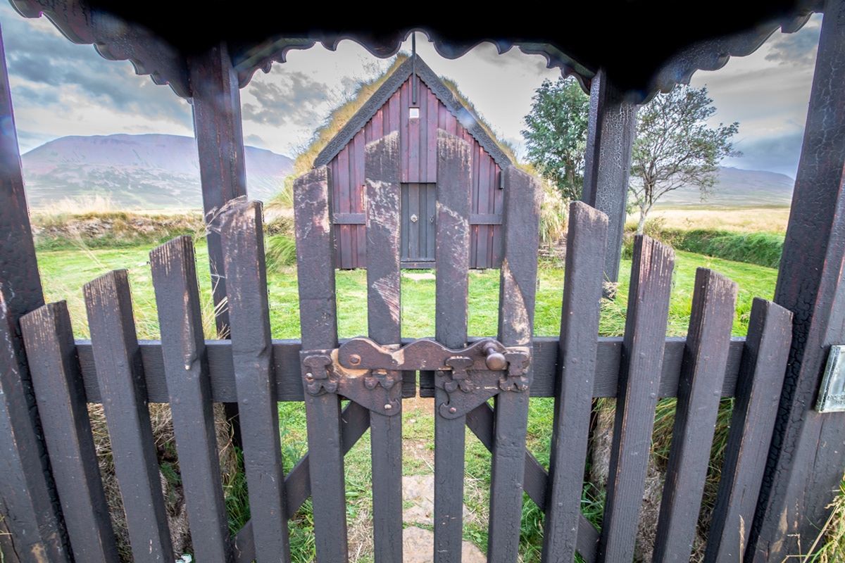
The front gate of the Grafarkirkja turf church - the Chapel at Gröf in Höfðaströnd in north Iceland
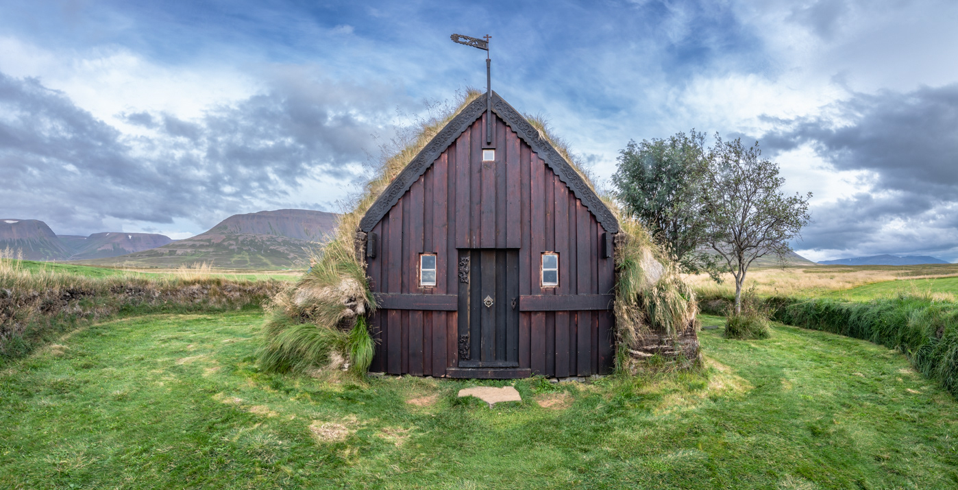
The front of the Grafarkirkja turf church - the Chapel at Gröf in Höfðaströnd.
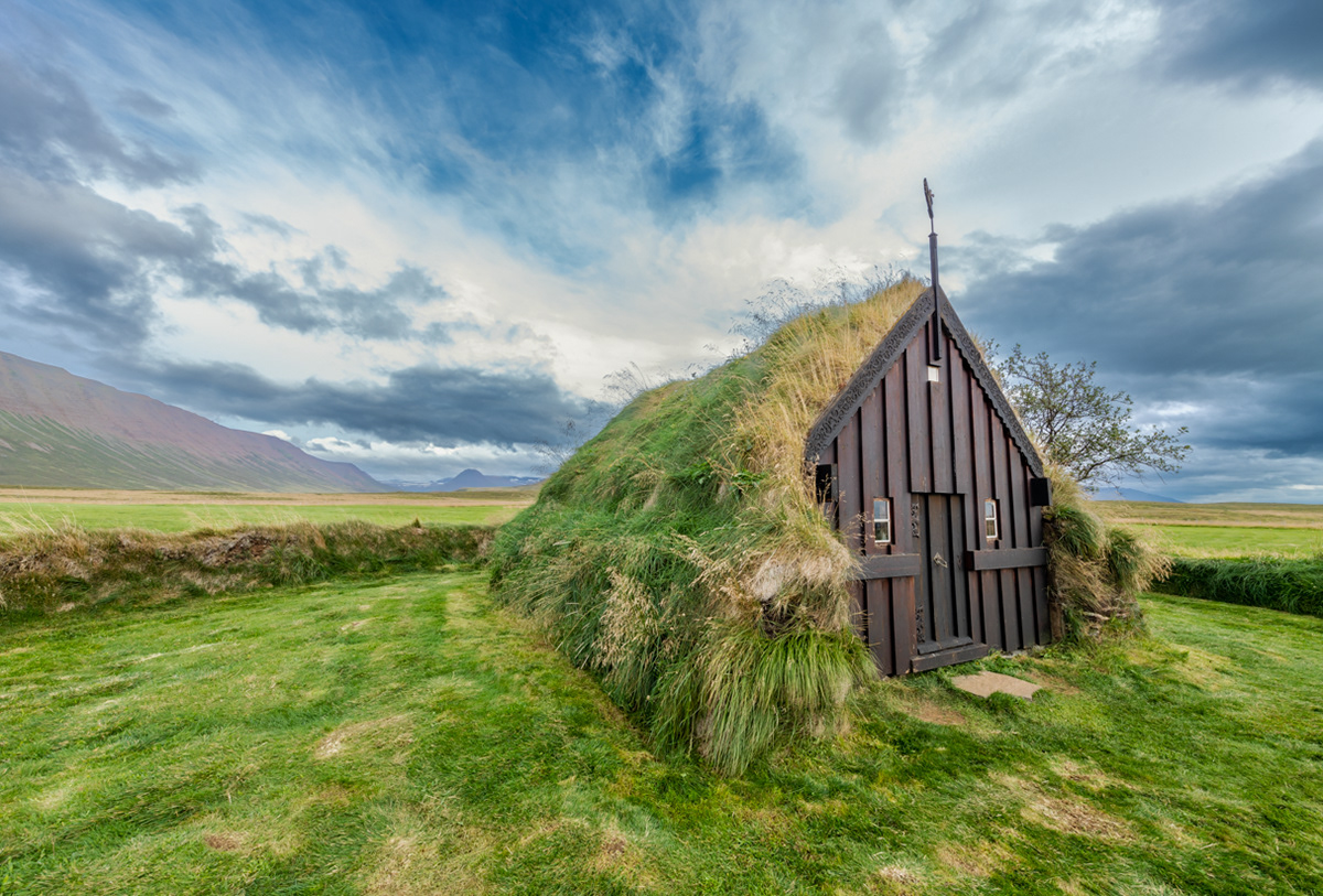
A side view of the Grafarkirkja turf church - the Chapel at Gröf in Höfðaströnd
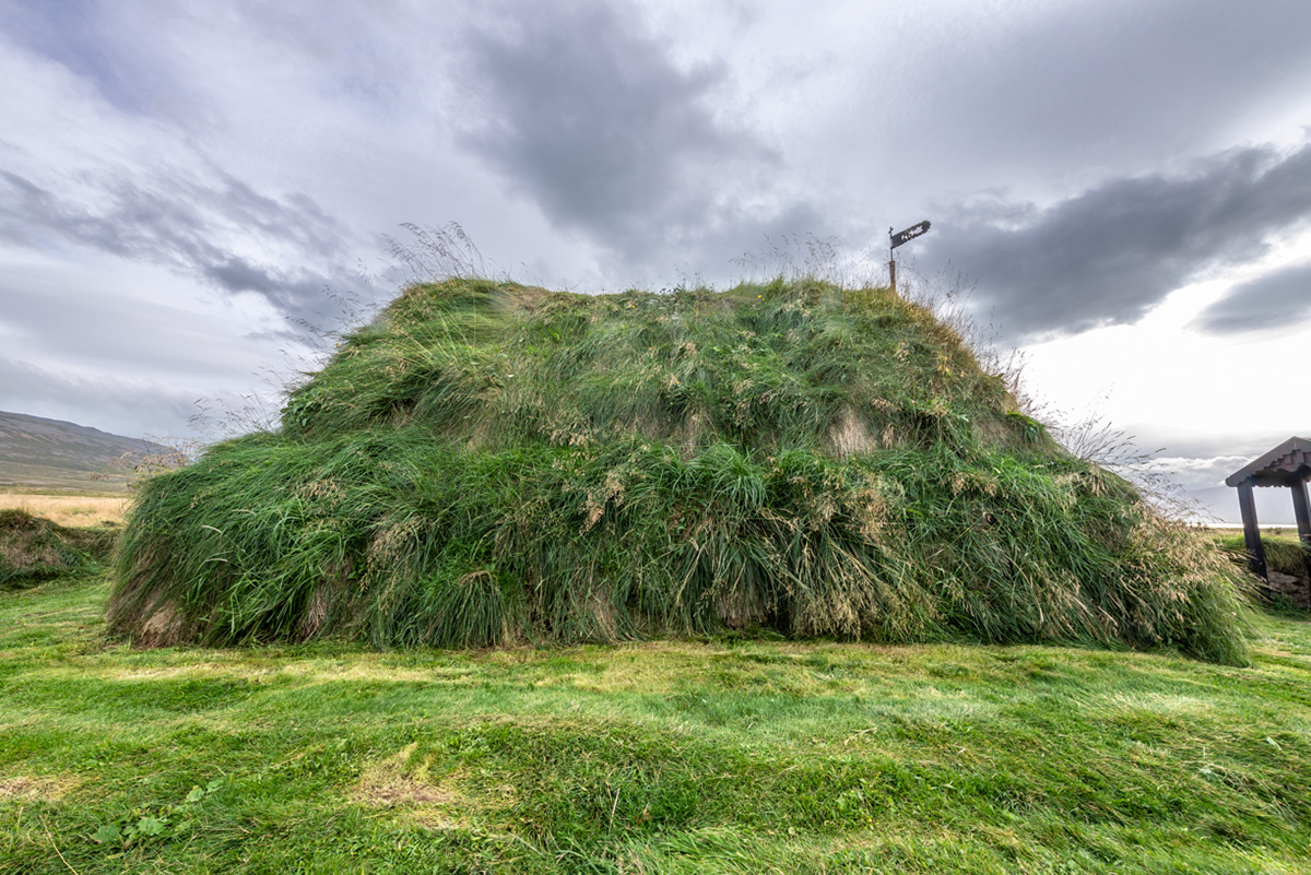
The back of the Grafarkirkja turf church - the Chapel at Gröf in Höfðaströnd
Sunset over the Skagafjörður fjord in north Iceland
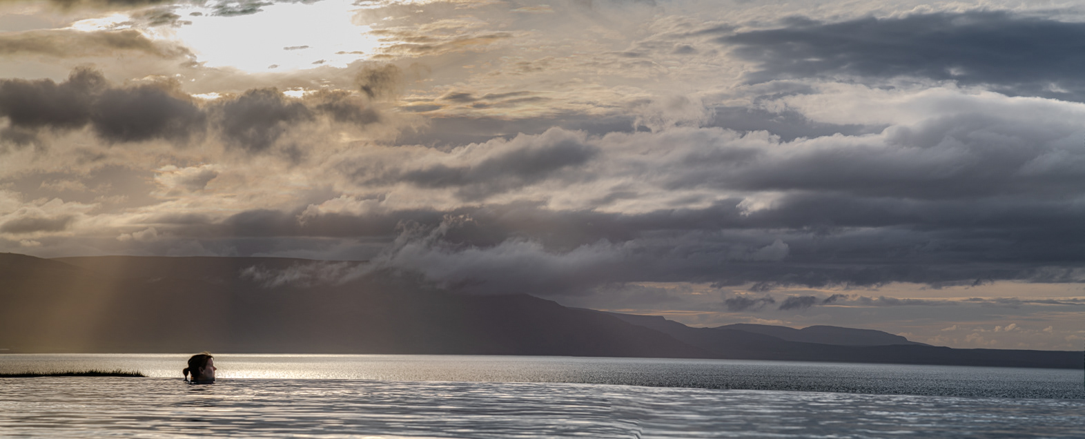
Sue looking out over the Skagafjörður fjord from the Hofsós swimming pool
That's me looking out over the Skagafjörður fjord at the island of Drangey
Sunset over the Skagafjörður fjord in north Iceland
Drangey is the remnant of a 700,000-year-old volcano and is mostly made of palagonite tuff. More creative with their explanations, Icelandic Folklore tells us that two trolls and their cow were turned to stone after being caught by the sunlight while crossing the fjord.
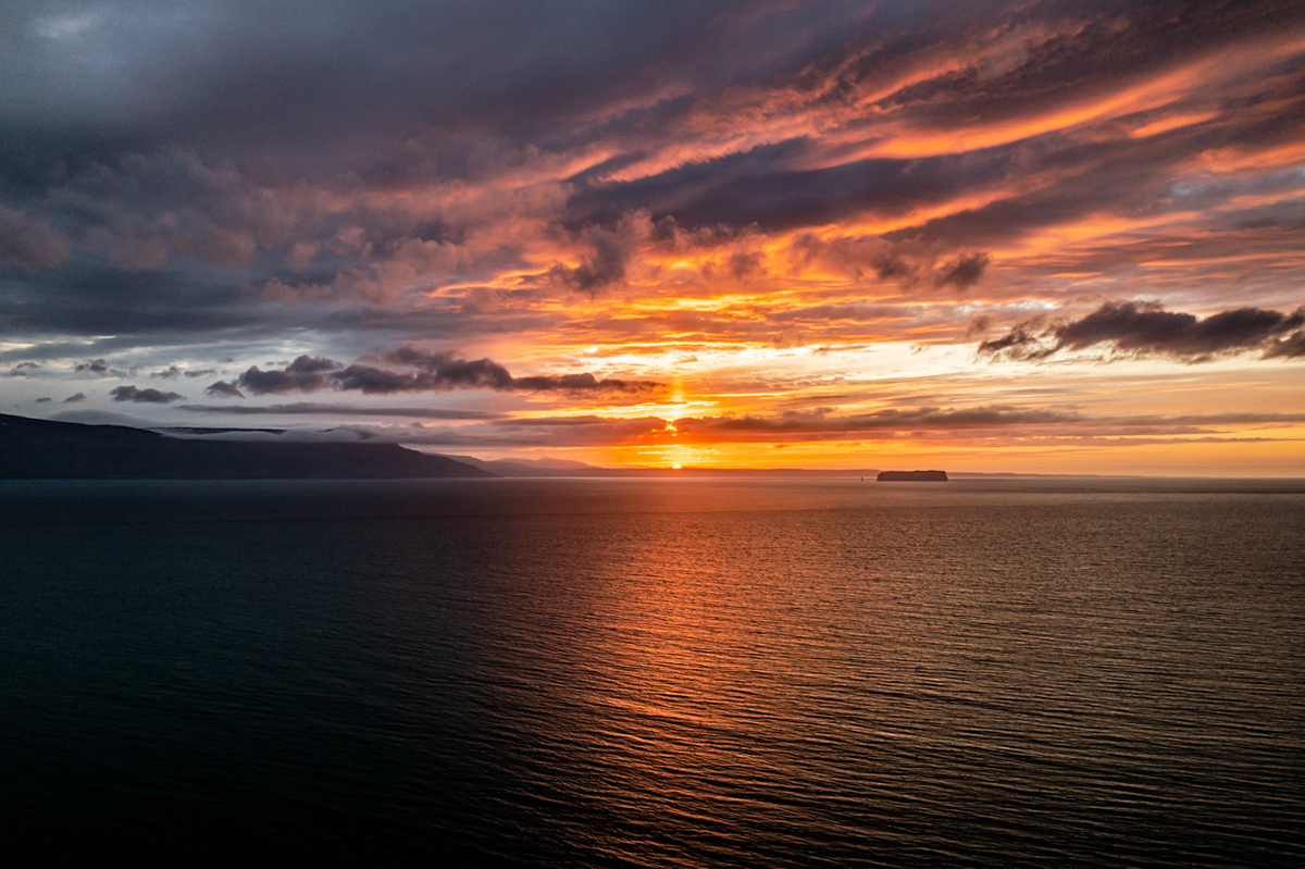
Sunset over the Skagafjörður fjord in north Iceland

Sunset over the Skagafjörður fjord in north Iceland
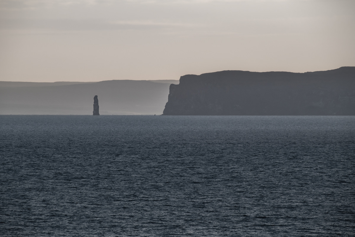
Hvítserkur from the shore
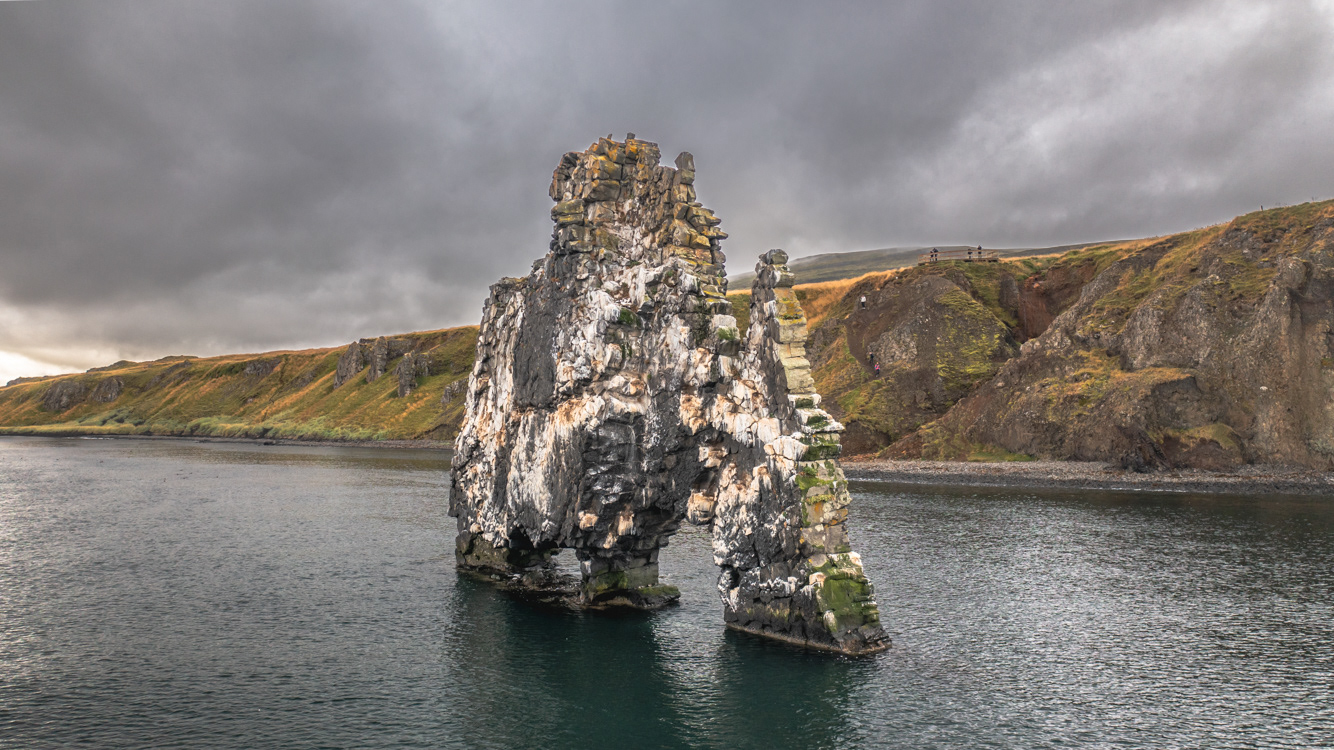
Hvítserkur from the Húnafjörður
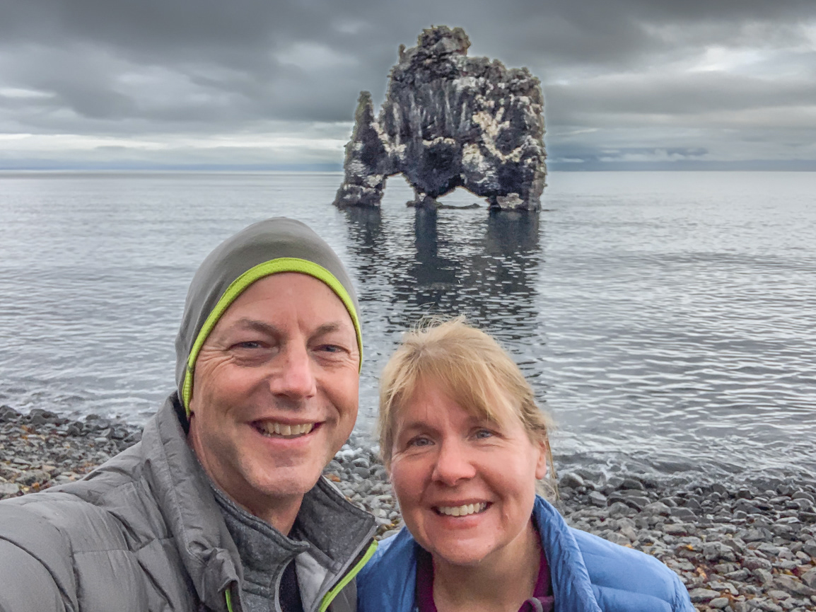
Hvítserkur from the Húnafjörður
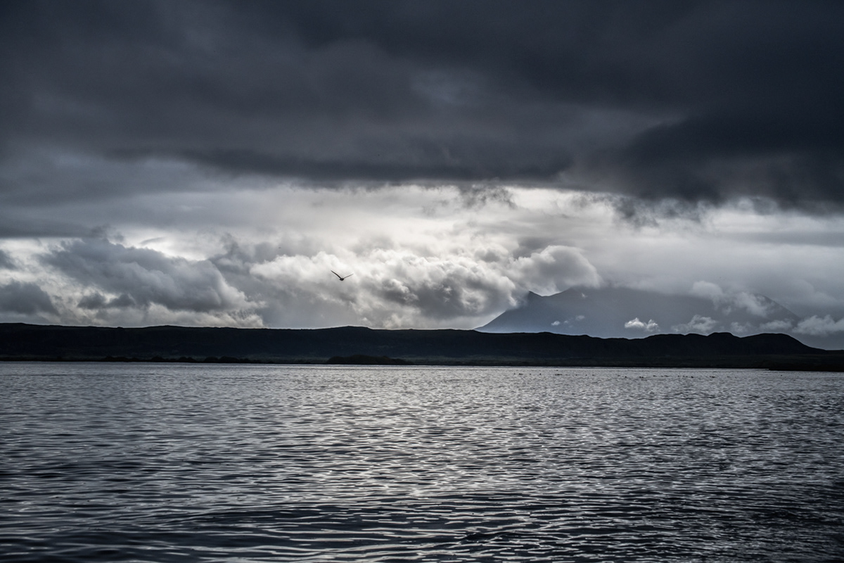
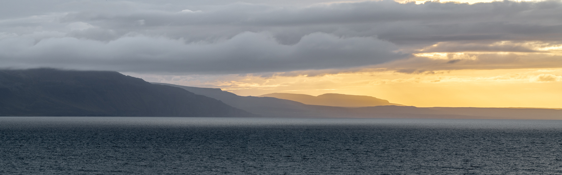
Looking over Húnafjörður at the distant mountains covered by dramatic cloud cover
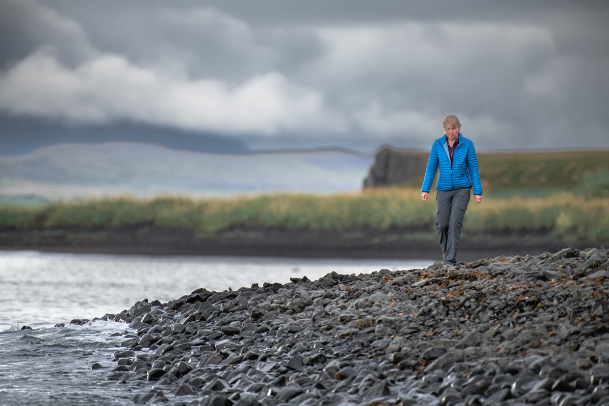
Sue walking along the shoreline of Húnafjörður

Krossdalskúla - a 3,000' peak in northwest Iceland
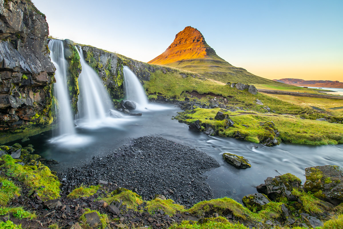
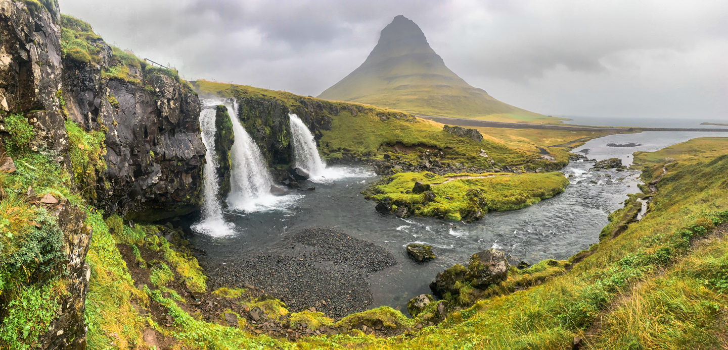
Kirkjufell & Kirkjufellsfoss
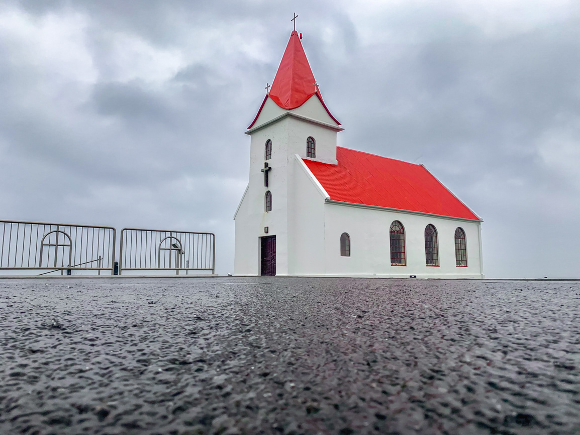
Ingjaldshólskirkja (Ingjaldshóll church)
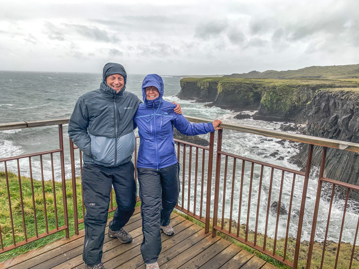
Hellnar arch

Hellnar arch
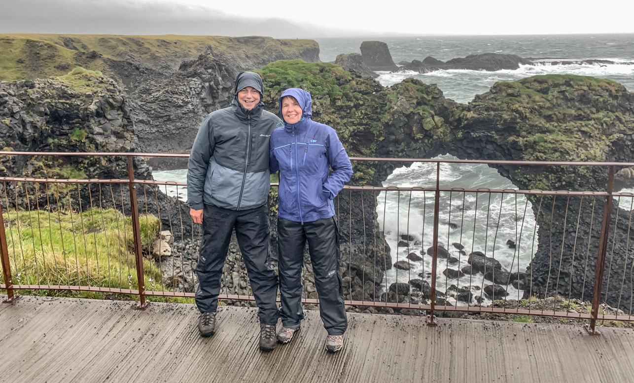
Hellnar arch
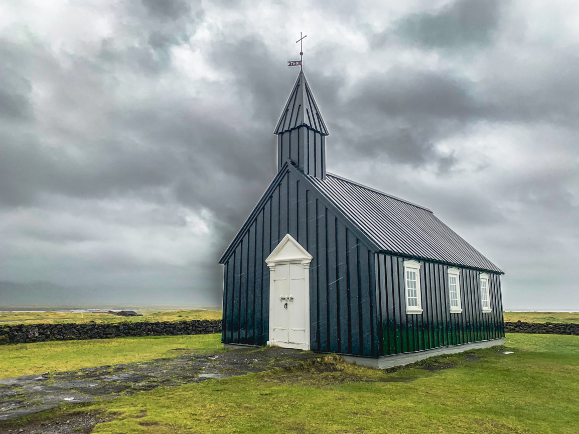
The Black Church of Budir
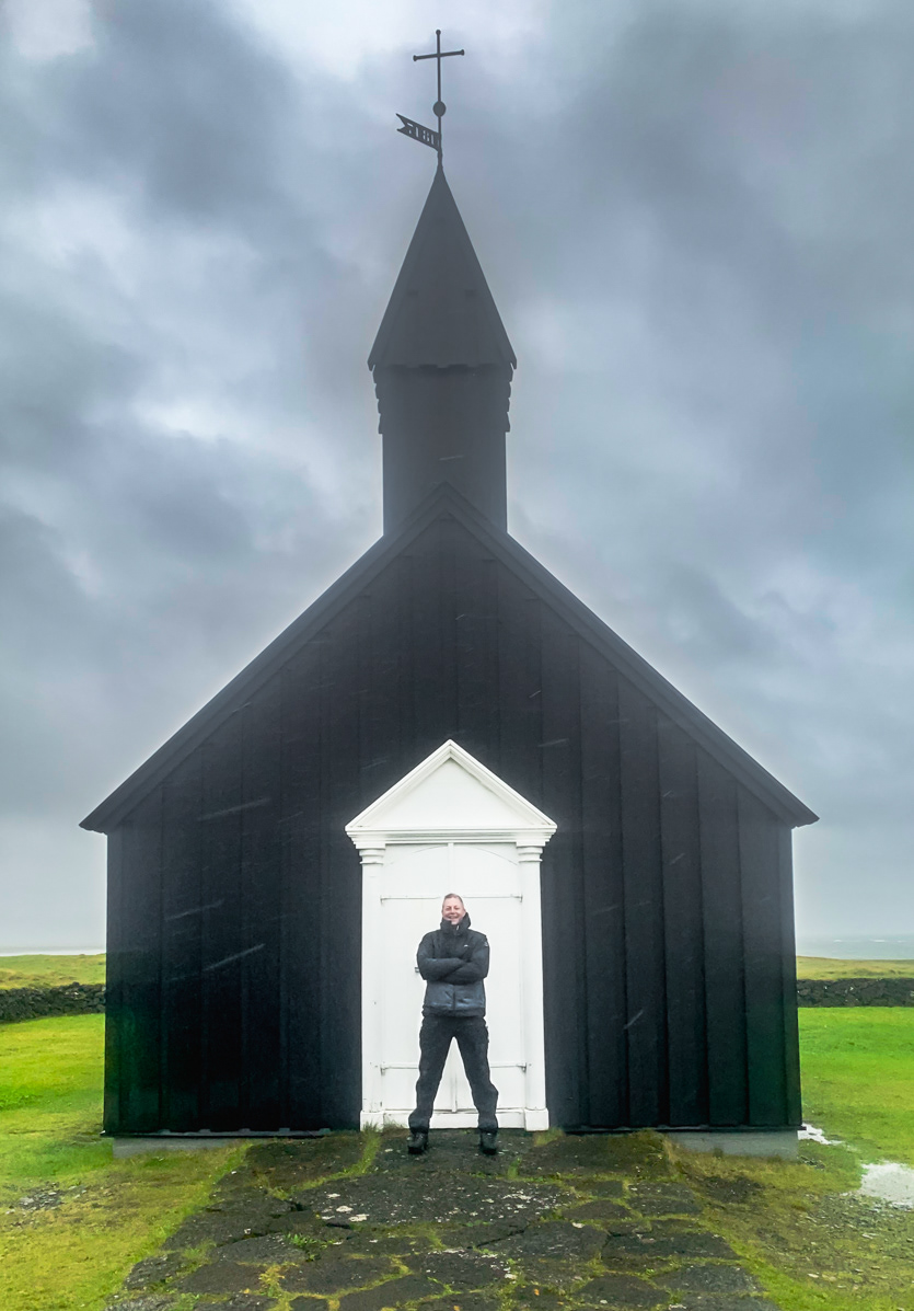
The Black Church of Budir
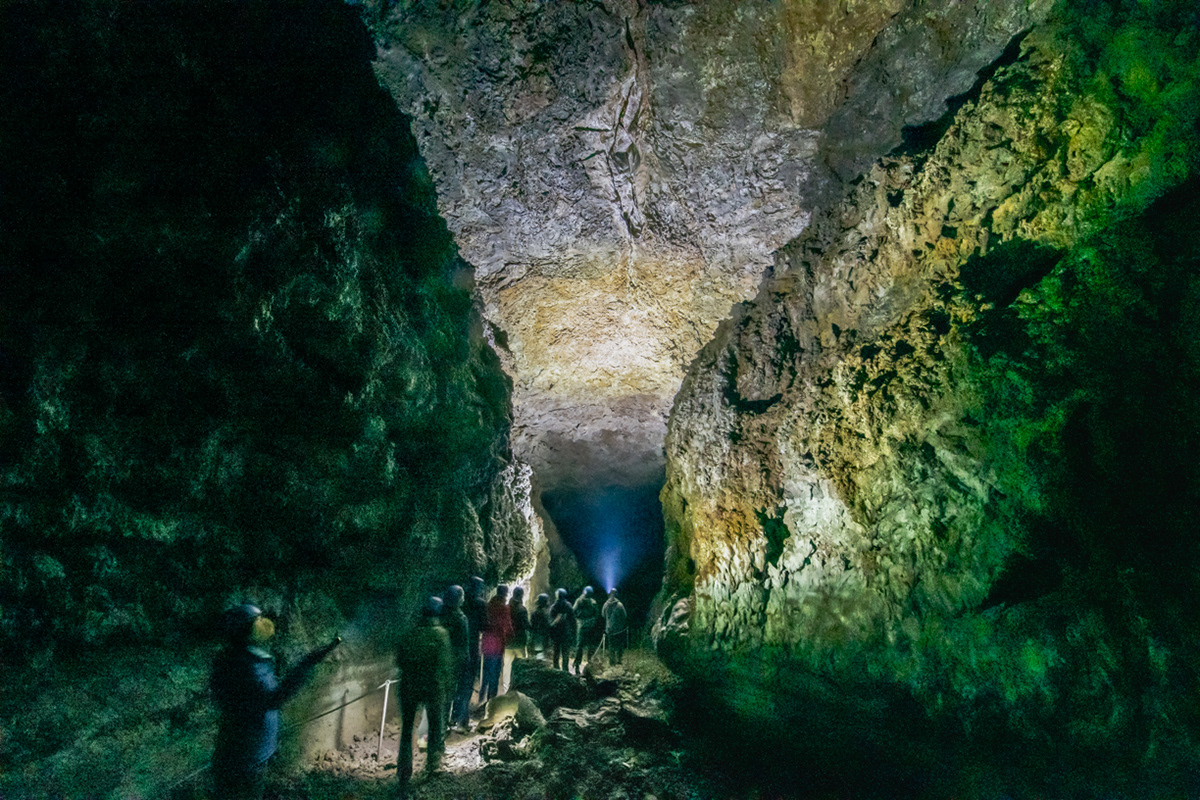
Vatnshellir cave
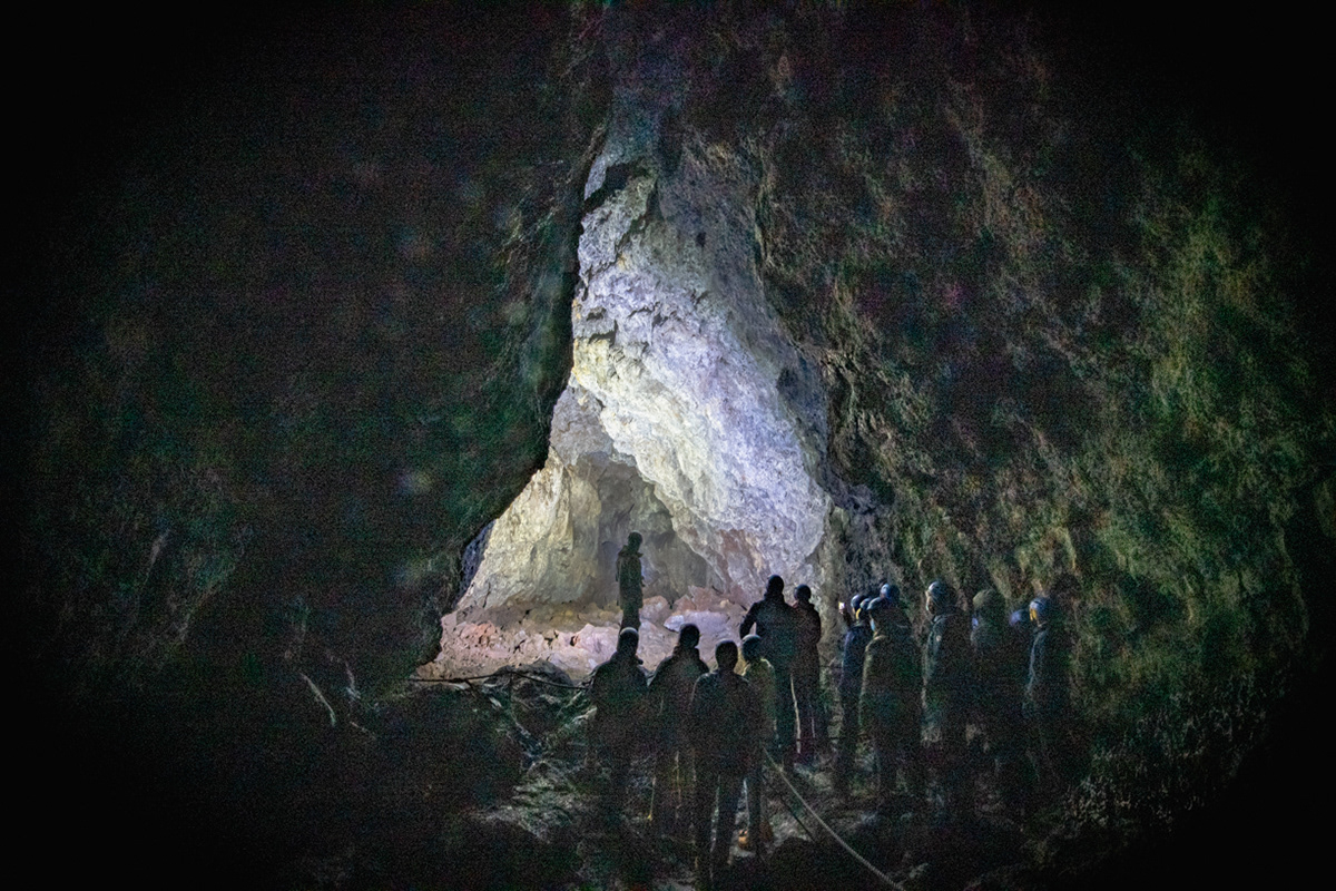
Vatnshellir cave
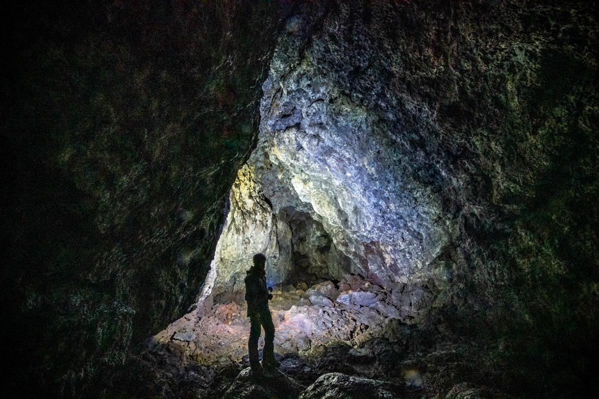
Vatnshellir cave
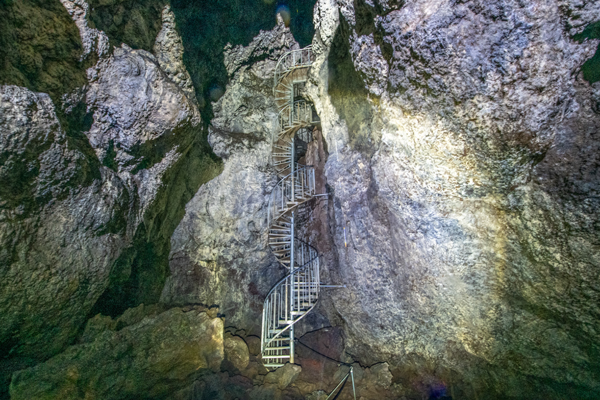
Vatnshellir cave
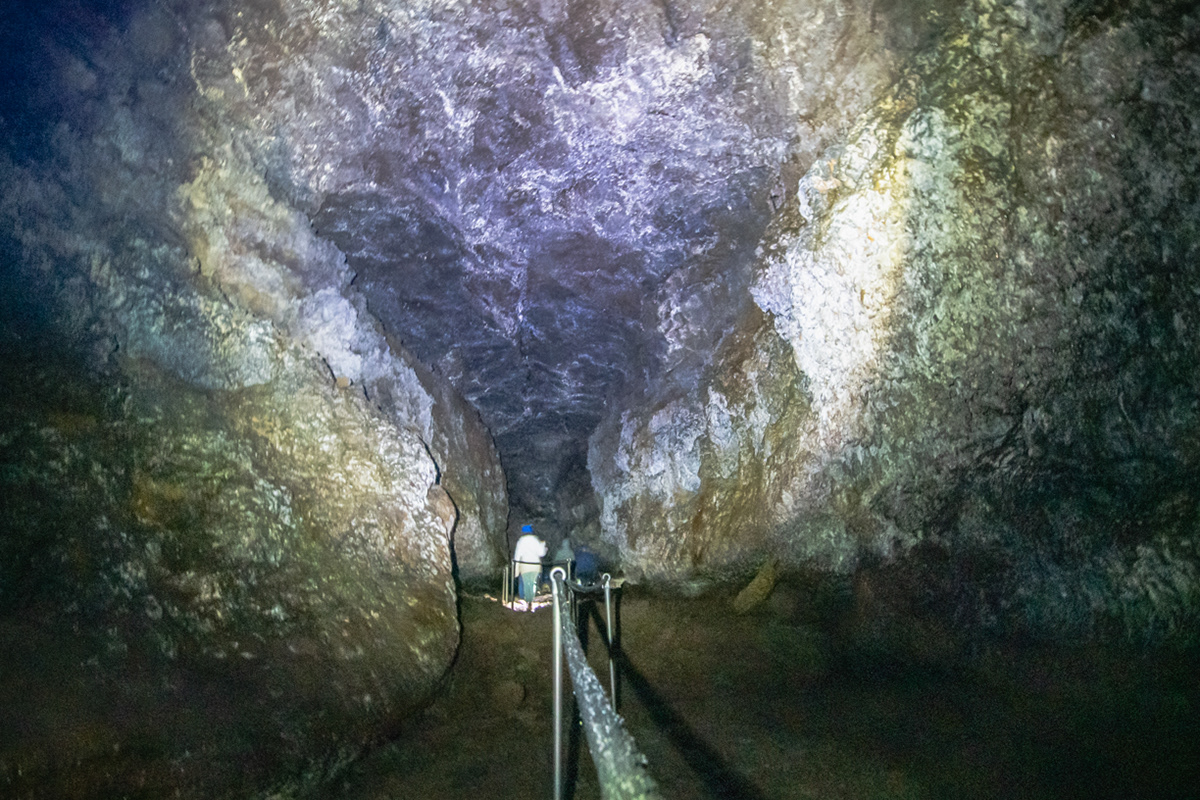
Vatnshellir cave
Bjarnarfoss - the waterfall that flowed backwards
Hvalfjörður Tunnel

Kaldi Bar - Puddle Reflection - 35 Klapparstígur - Reykjavík
Mural on the side of the Hotel Leifur Eiriksson
Skólavörðustígur Street
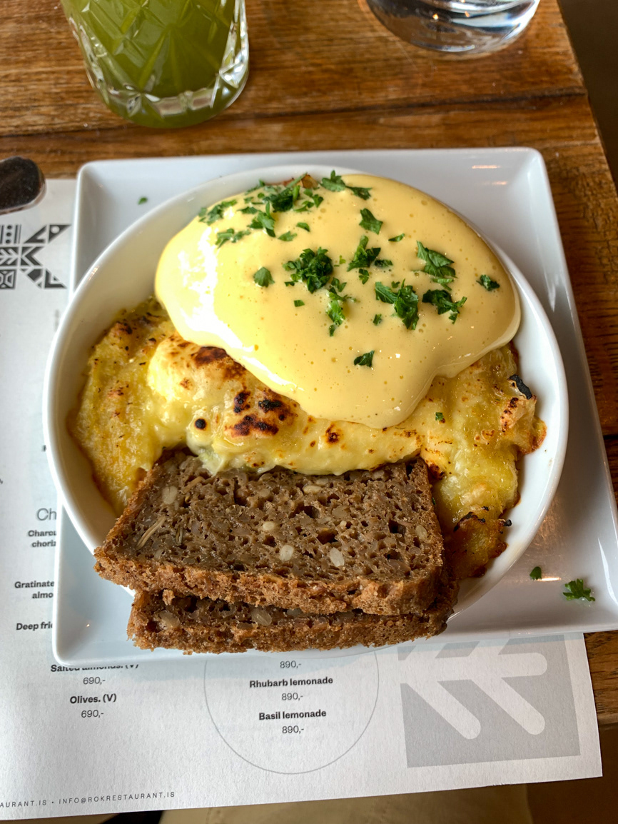
ROK "Plokkfiskur" Traditional Icelandic fish pie with cheese, hollandaise and rye bread
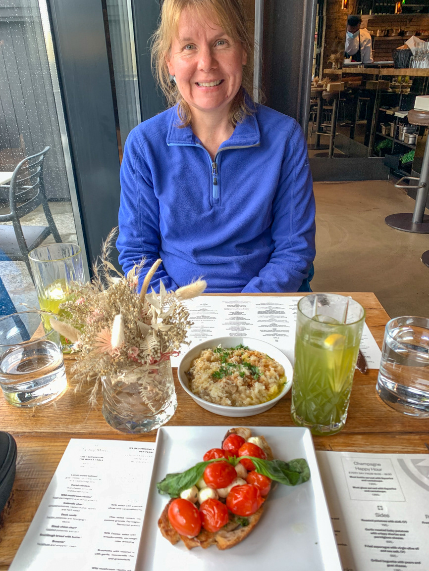
Wild mushroom risotto with fresh parmegiano and red wine sauce / Bruchetta with roasted tomatoes with garlic, mozzarella cheese, basil and gremolada.
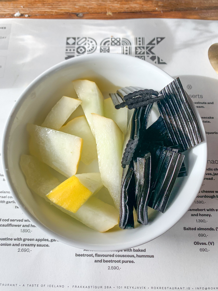
Fresh cantaloupe and liquorice
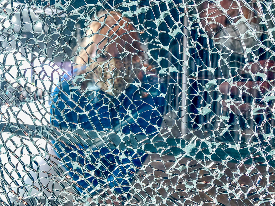
Sue peering through a section of broken glass in the Harpa
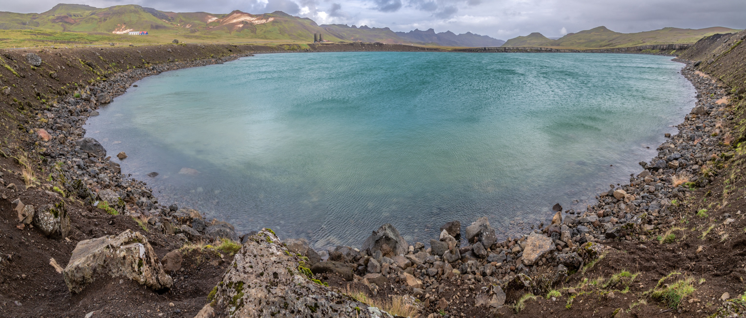
Gígvatnsvatn Crater Lake
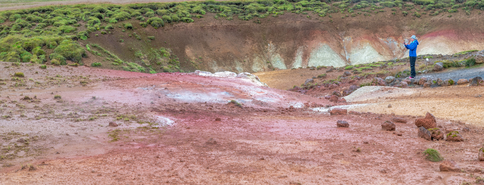
Krýsuvík Geothermal Area
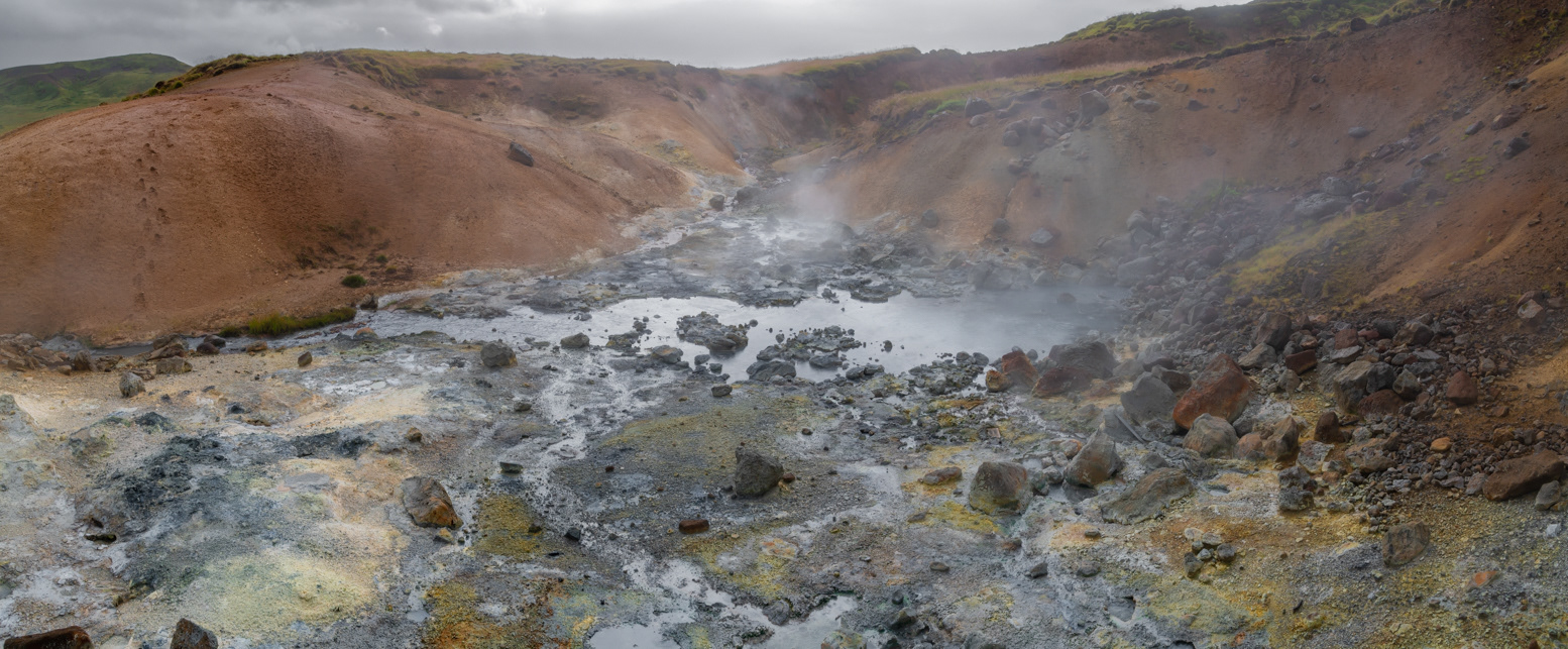
Krýsuvík Geothermal Area
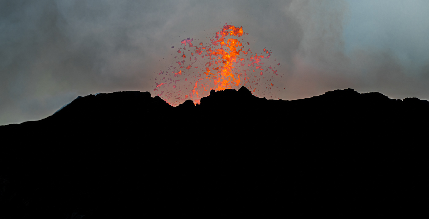
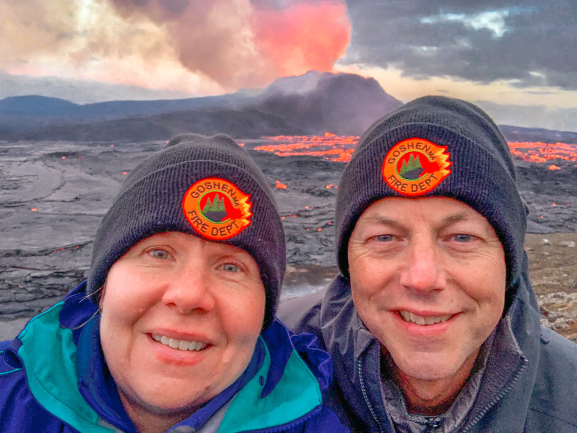
Fagradalsfjall Volcano at dusk
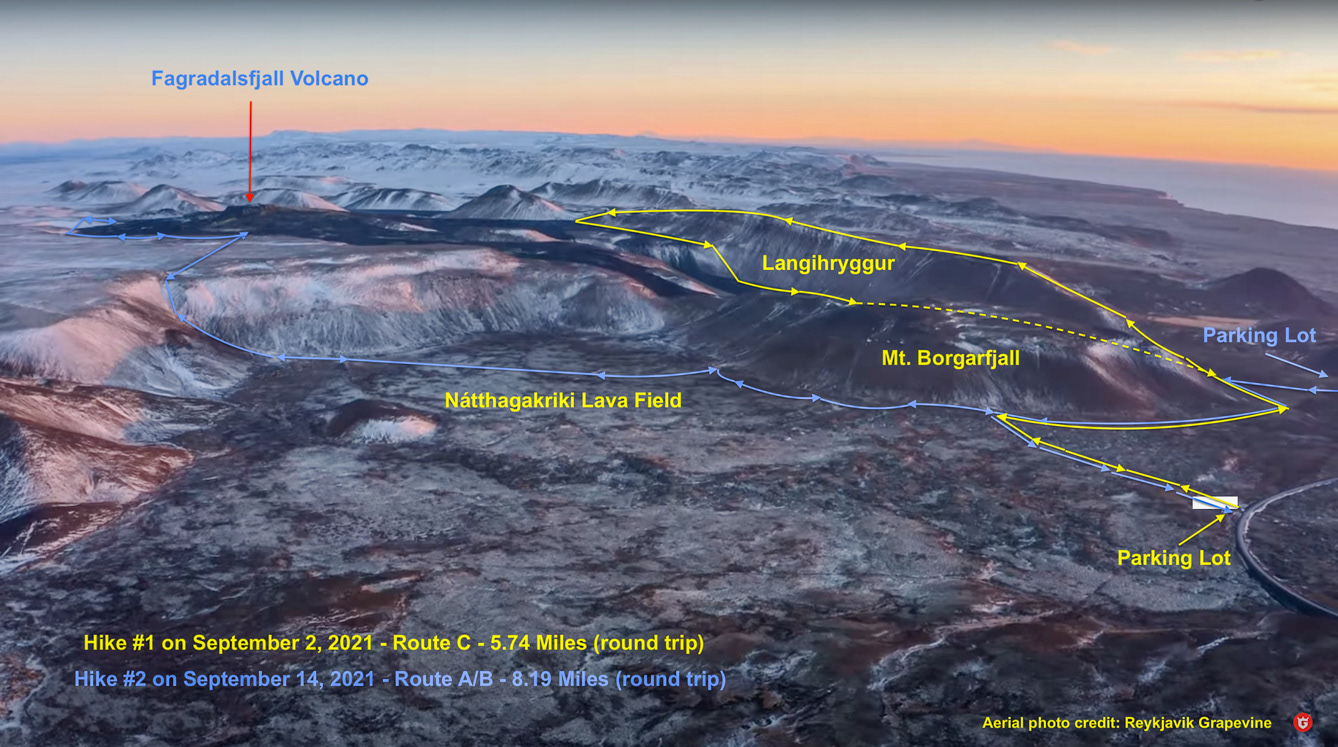
We visited on September 2nd and September 14th. The volcano wasn't erupting during the first visit but was during the second. It stopped erupting 4 days later on September 18th.
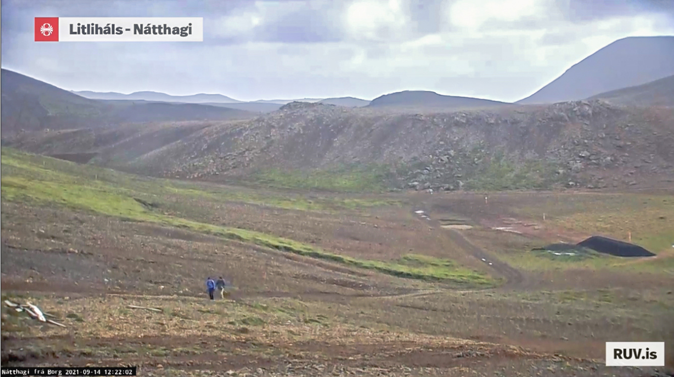
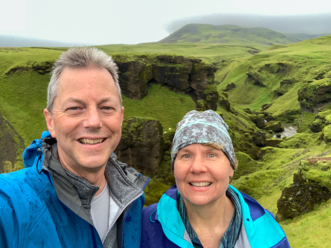
The live video feed from the site of the volcano captured Sue and I hiking on Path C.
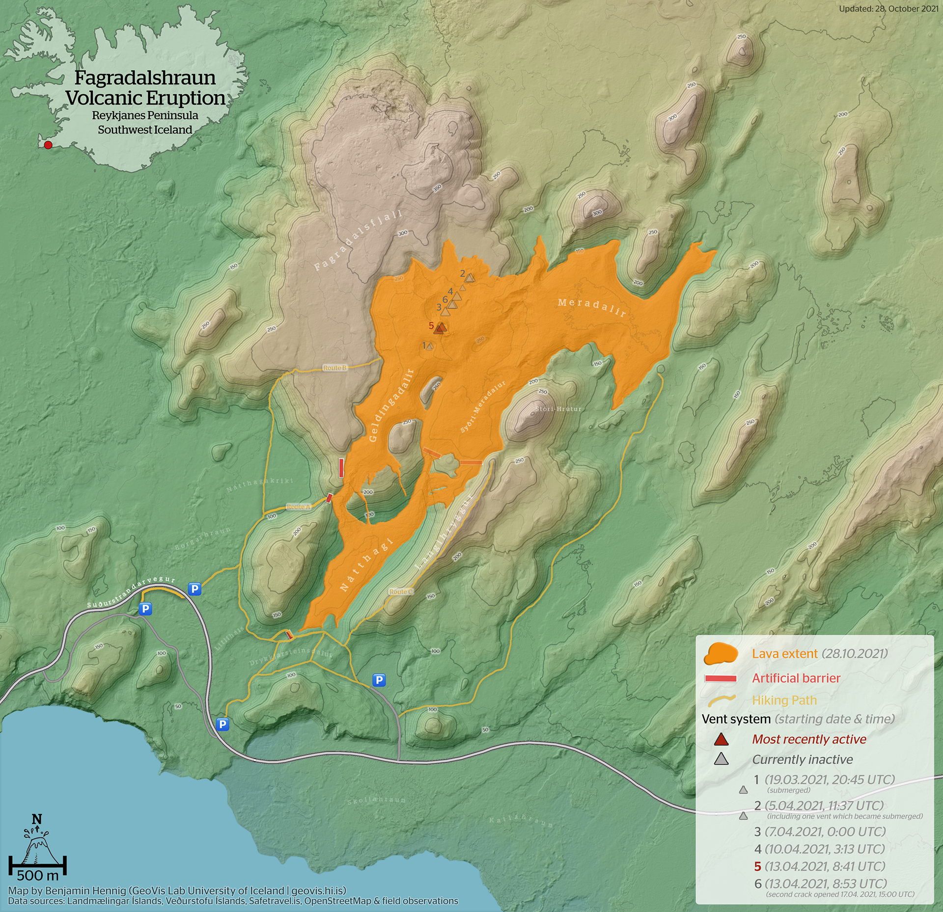
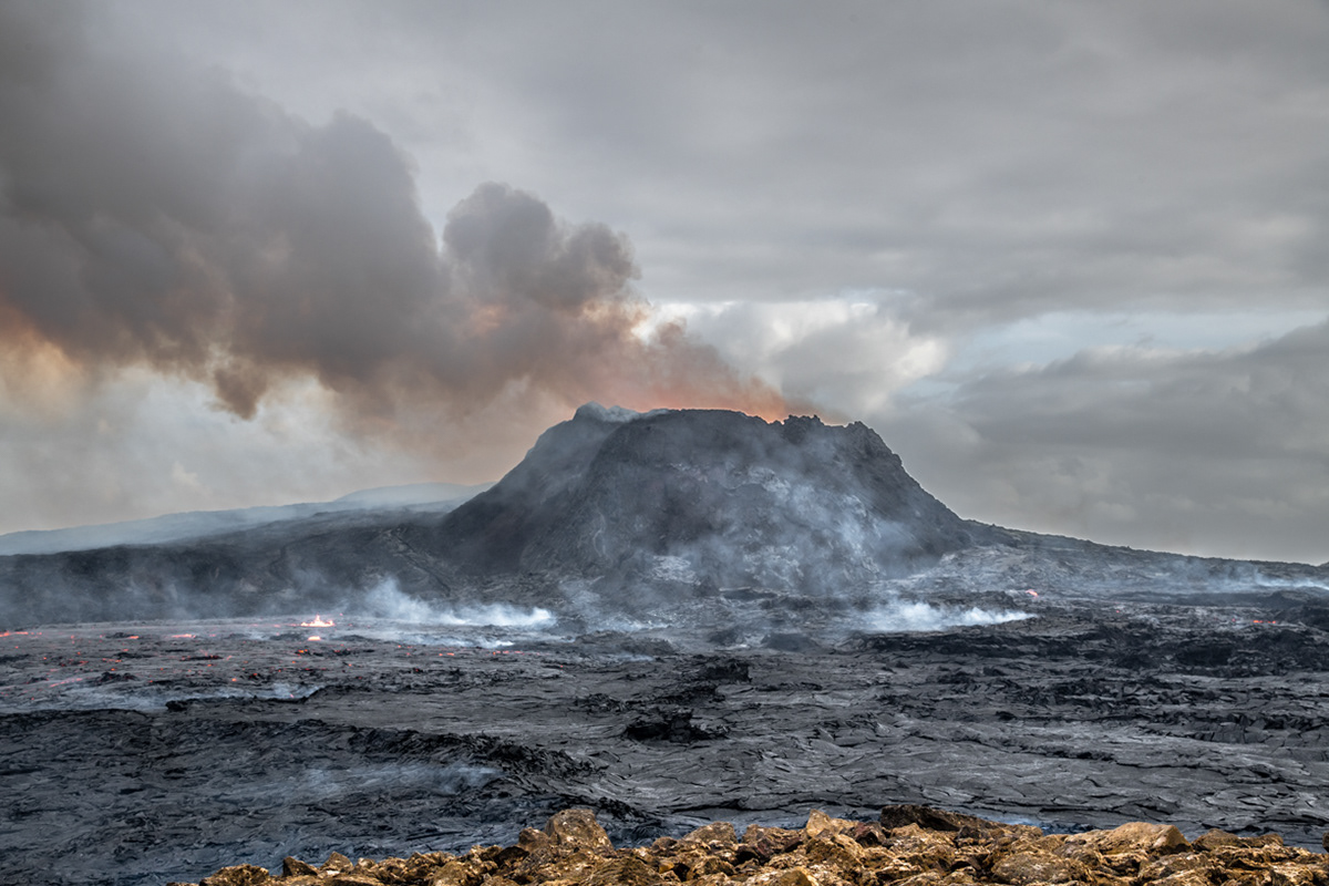
On our second visit, the volcano erupted every 20-25 minutes. You could hear it before you could see it. Steam and poisonous gas billowed from the vent and were blown to the west by gale force winds. While we didn't see any lava flowing out of the crater, the lava flows at the base of the volcano came alive with activity 5-10 minutes after every eruption.

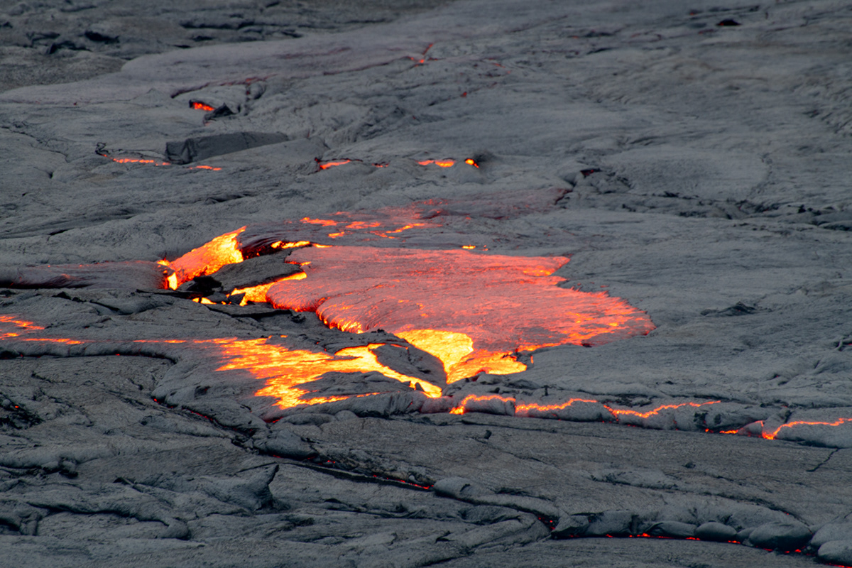
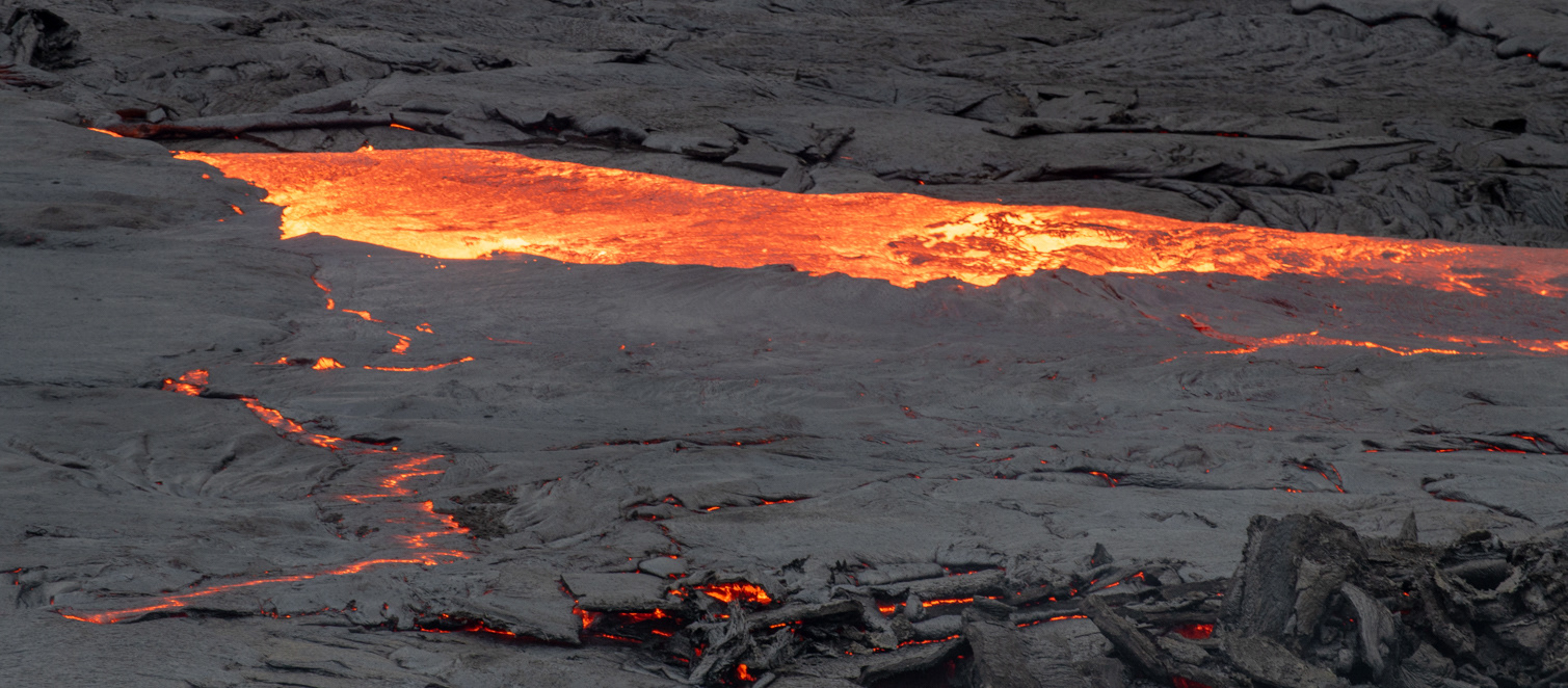
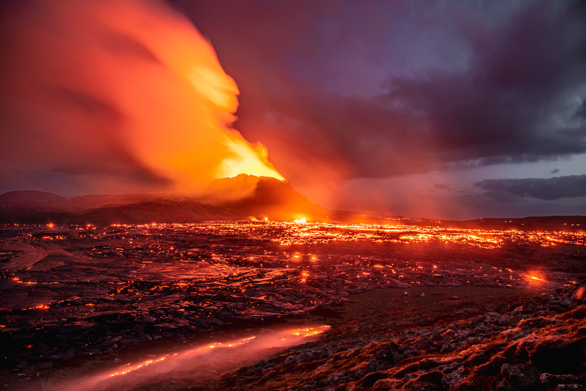
I was captivated by this little fissure that kept erupting at the base of the larger cone.