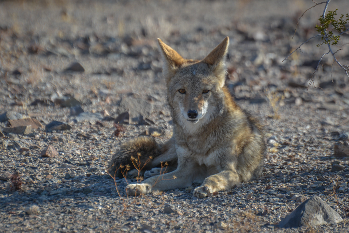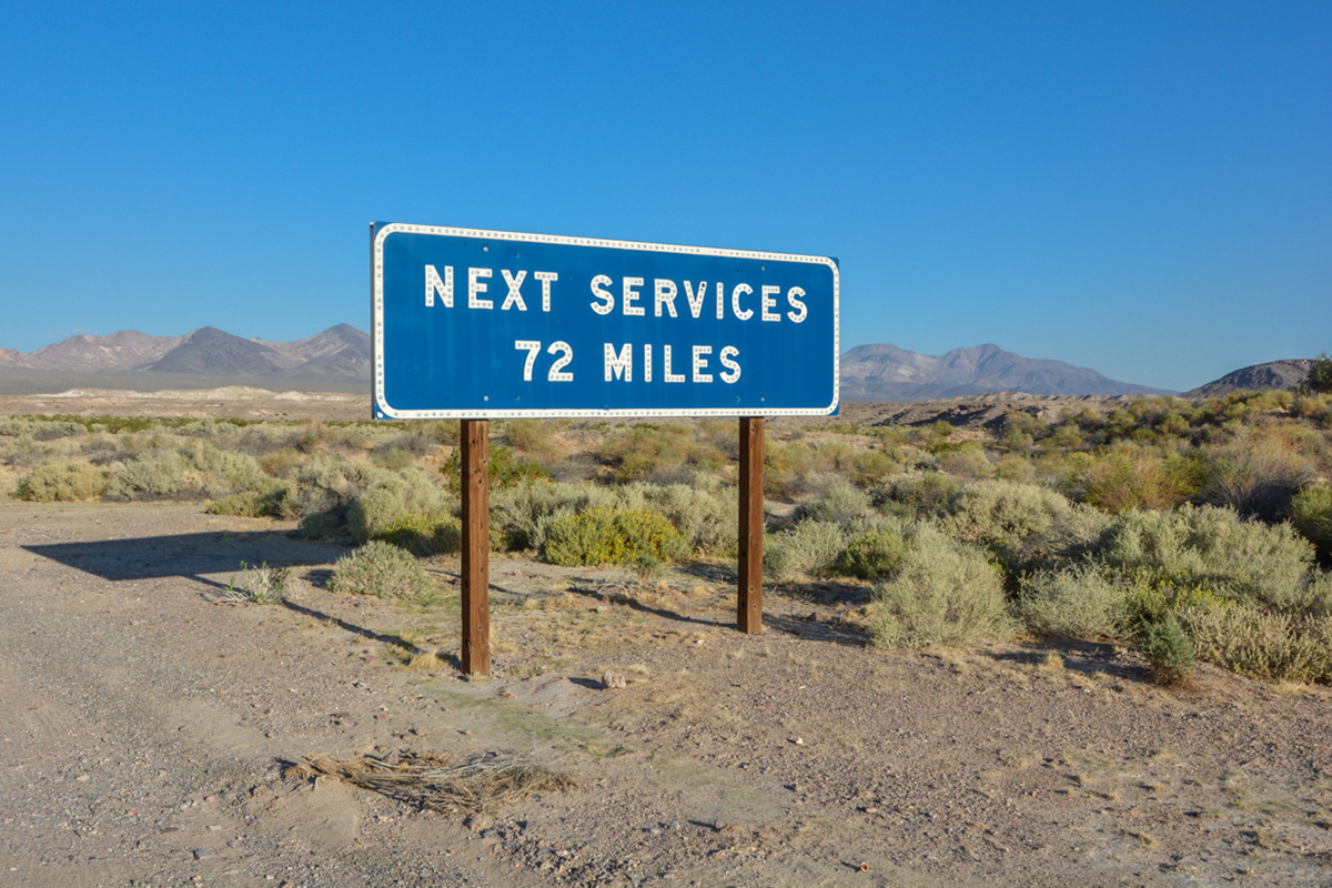
The sign on Route 178 West (Jubilee Pass Road) after turning off of Route 127 North just out of Shoshone, California.
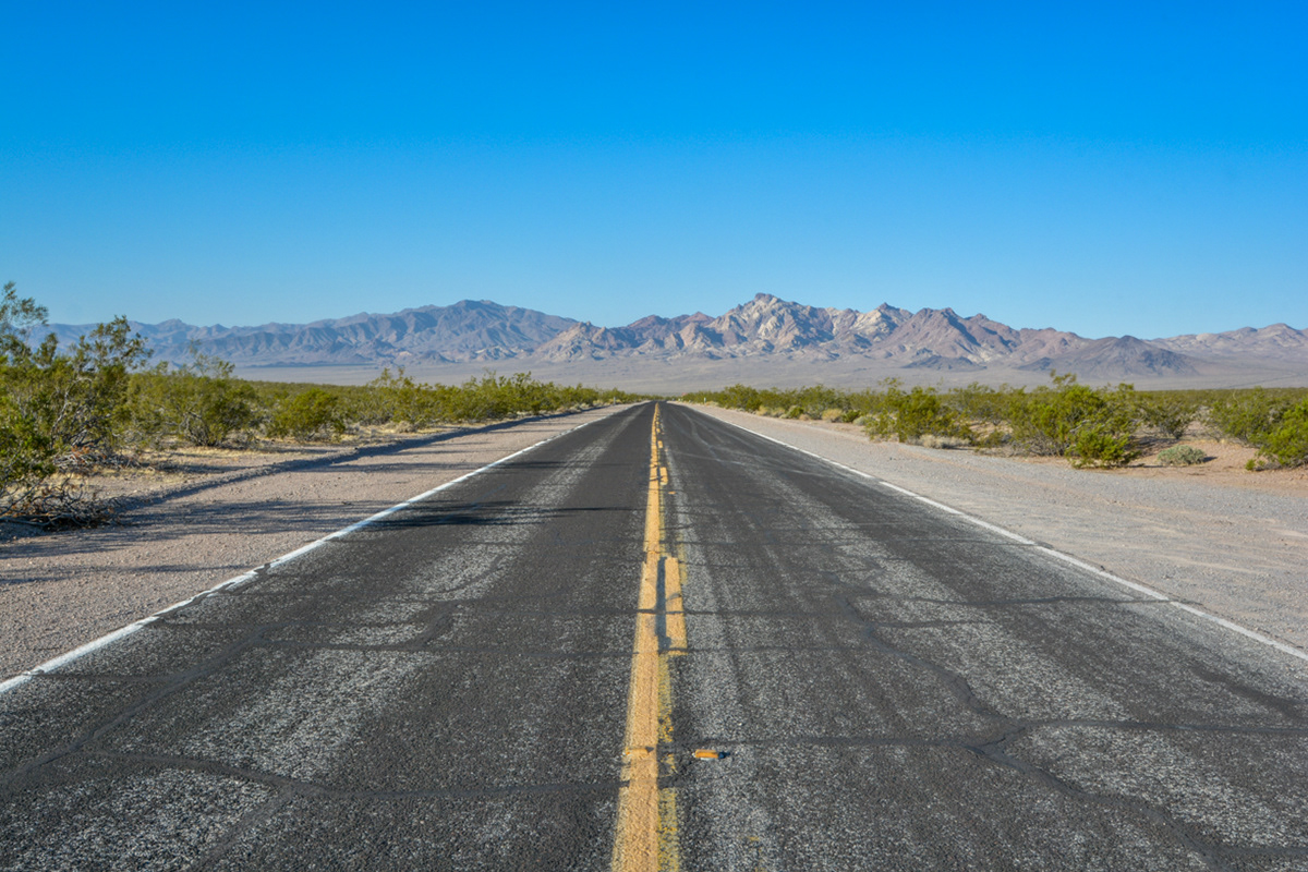
Looking north towards Death Valley Junction from Route 178 West (Jubilee Pass Road).
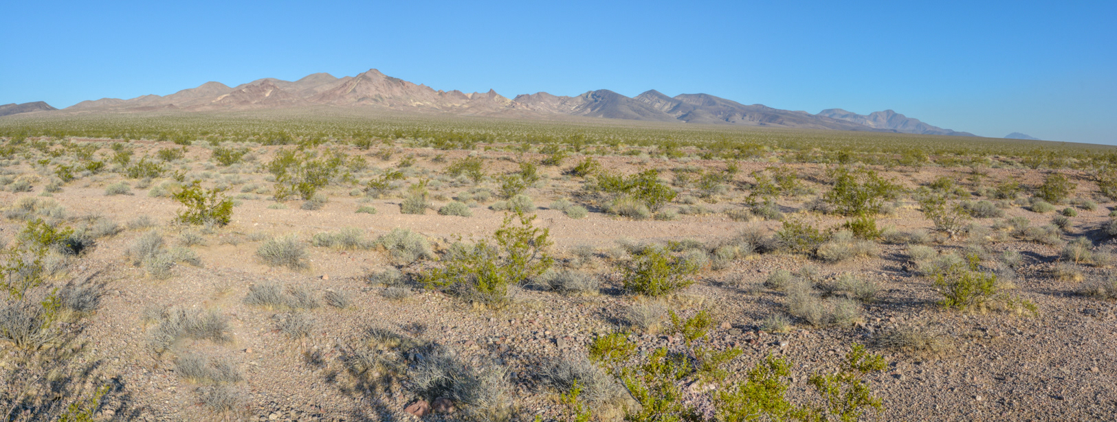
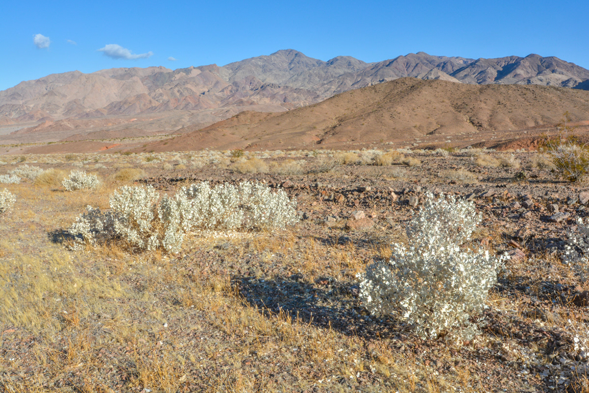
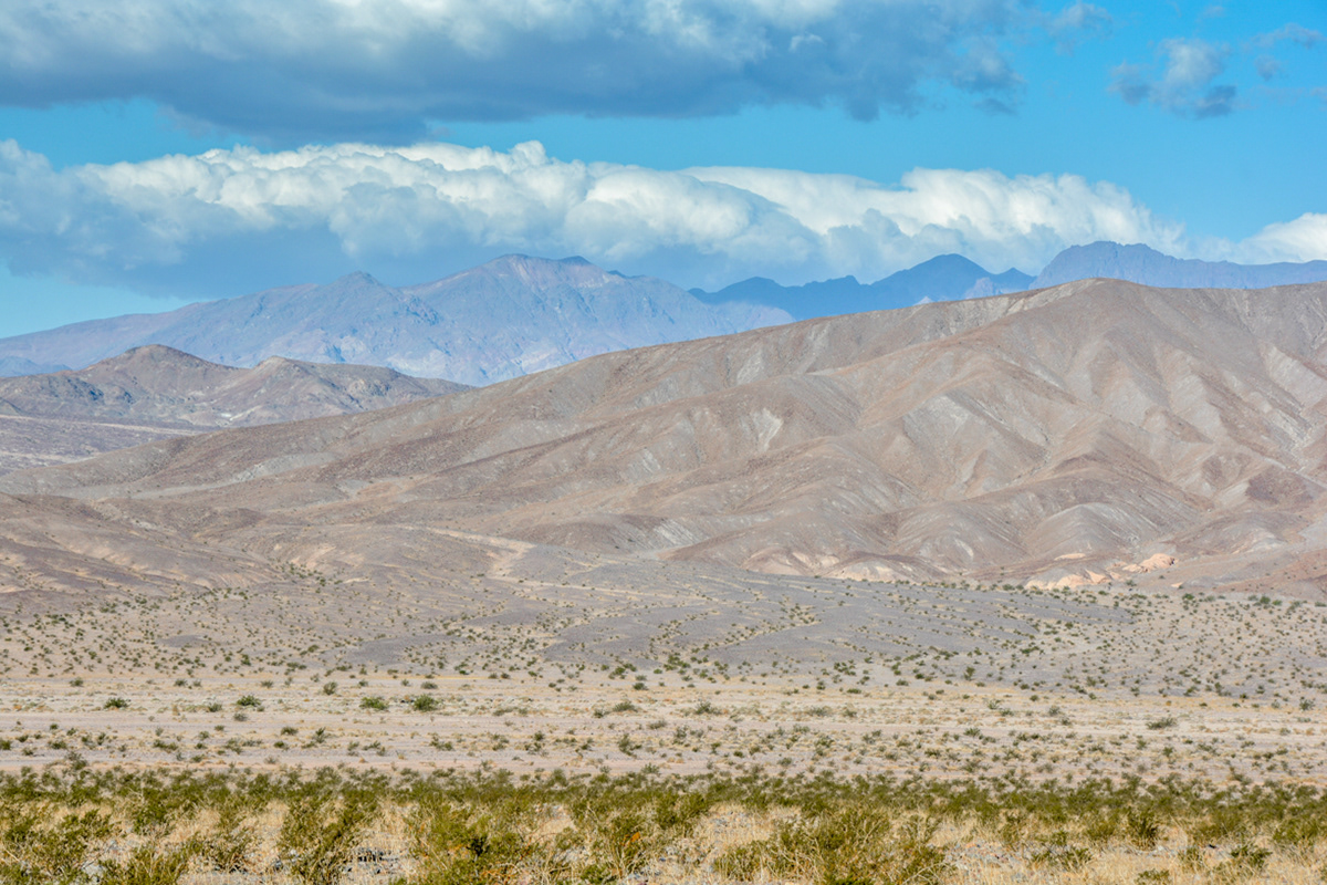
Looking west toward Sheepshead Mountain in the Ibex Hills Wilderness Area from Route 178 West (Jubilee Pass Road).
Looking west toward Sheepshead Mountain in the Ibex Hills Wilderness Area from Route 178 West (Jubilee Pass Road).
Looking west toward Sheepshead Mountain in the Ibex Hills Wilderness Area from Route 178 West (Jubilee Pass Road).
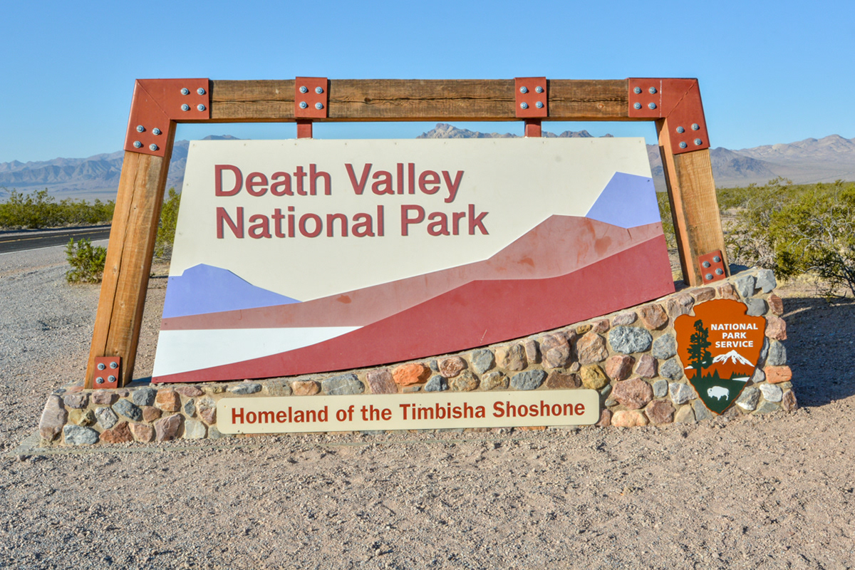
The Death Valley National Park entrance sign on Route 178 West (Jubilee Pass Road).
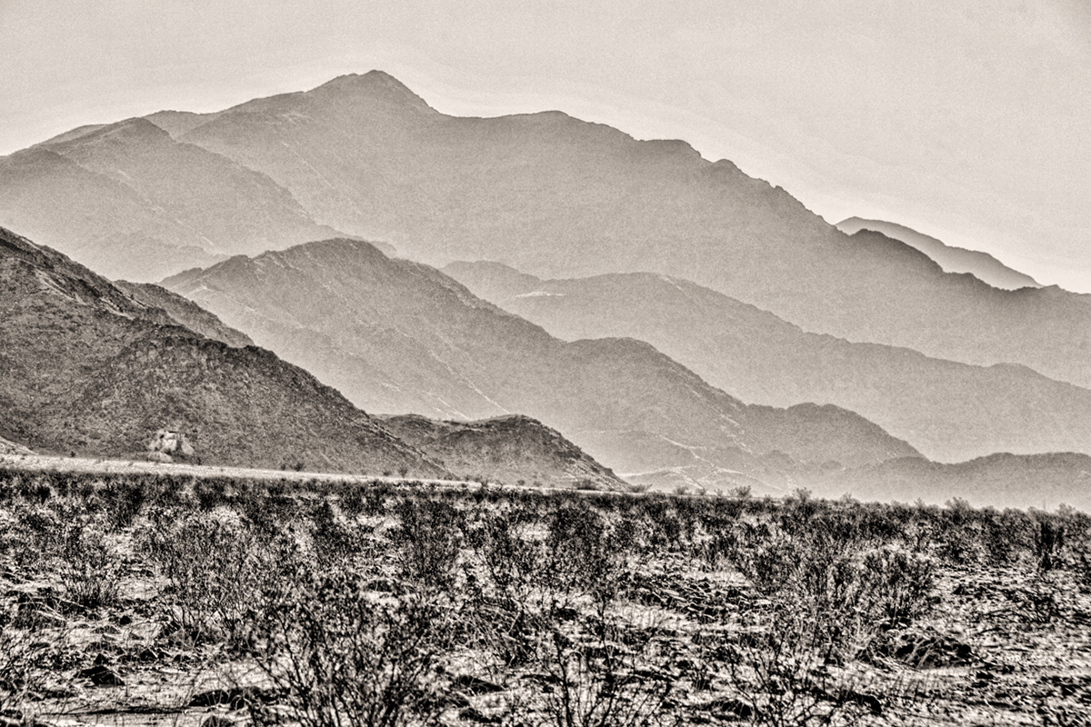
Looking southwest towards Ibex Peak (middle) in the Ibex Hills Wilderness Area from Route 178 West (Jubilee Pass Road).
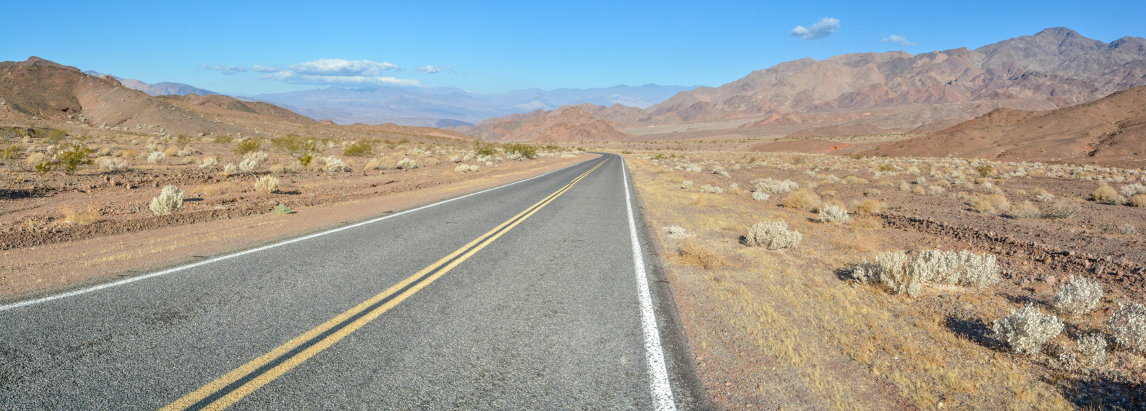
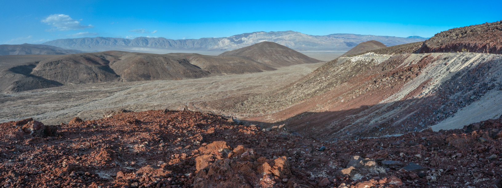
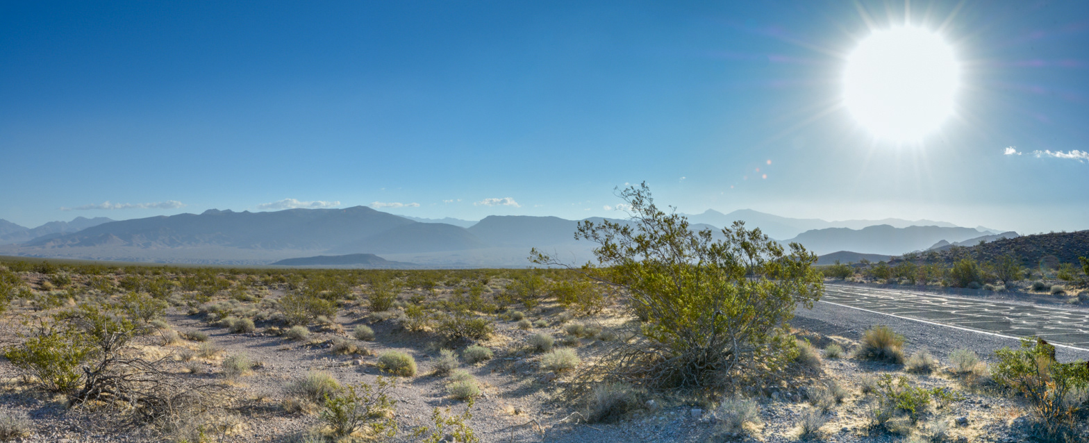
Looking west towards the southern end of Death Valley from Route 178 West (Jubilee Pass Road).
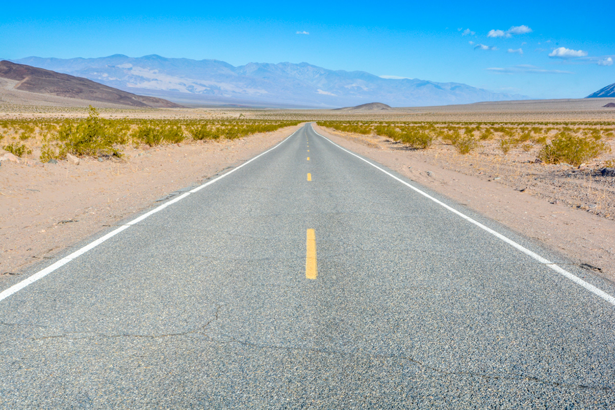
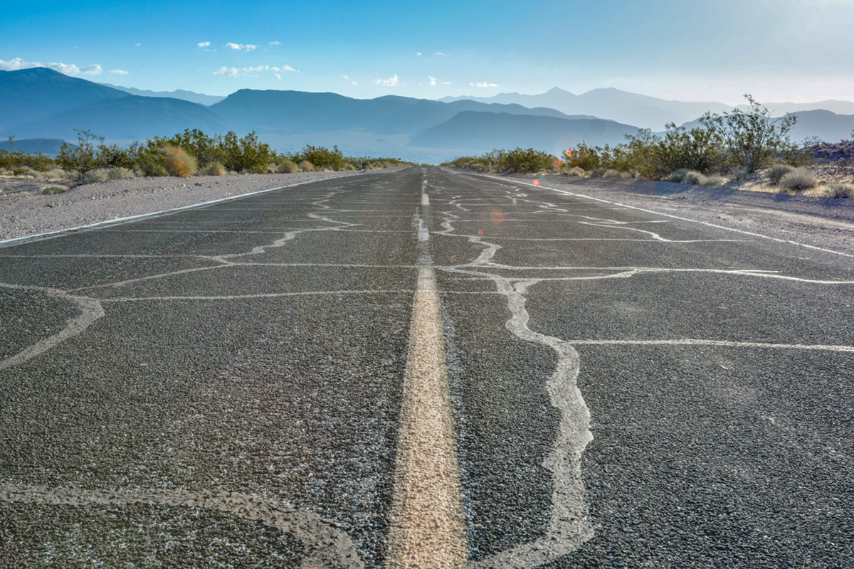
Looking north into the southern part of Death Valley on Route 178 West (Jubilee Pass Road)
Looking west towards Manly Peak (elev. 7,196 ft.) from Route 178 West (Jubilee Pass Road)
Looking south towards the Black Mountains from Route 178 West (Jubilee Pass Road).
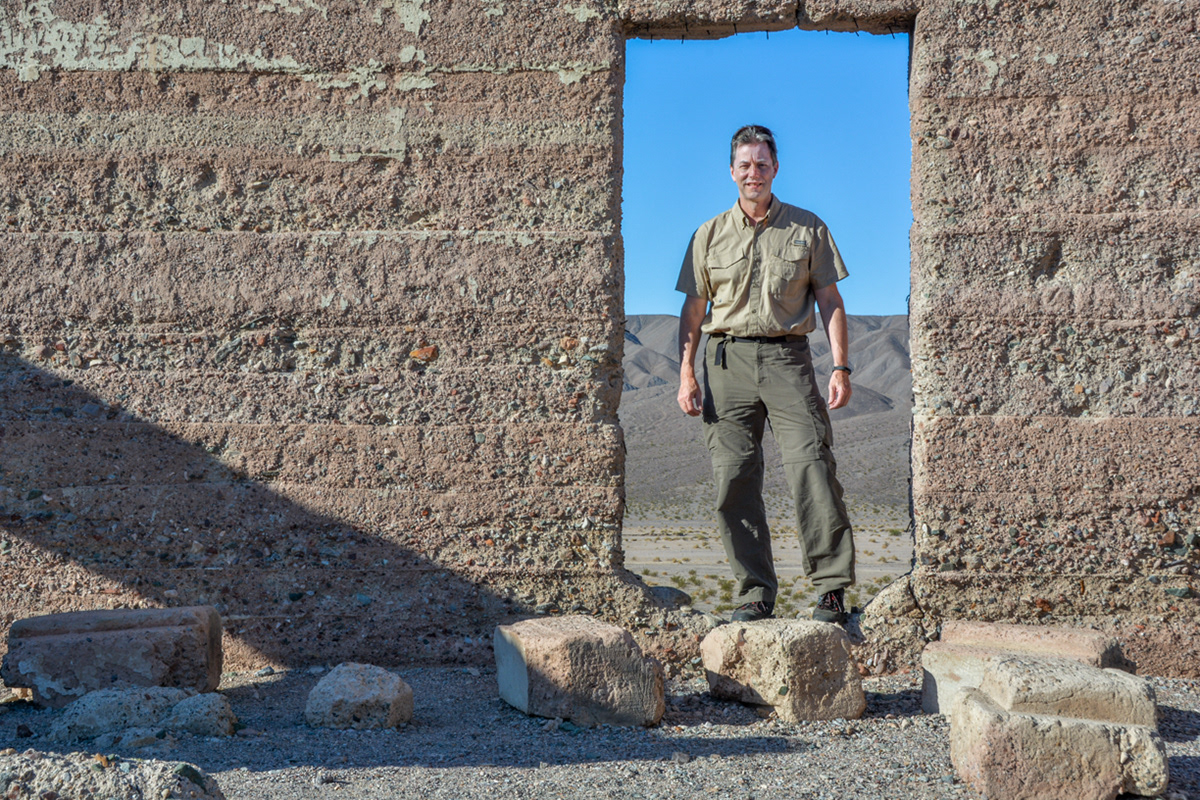
Standing in a doorway at the Ashford Mill ruins.
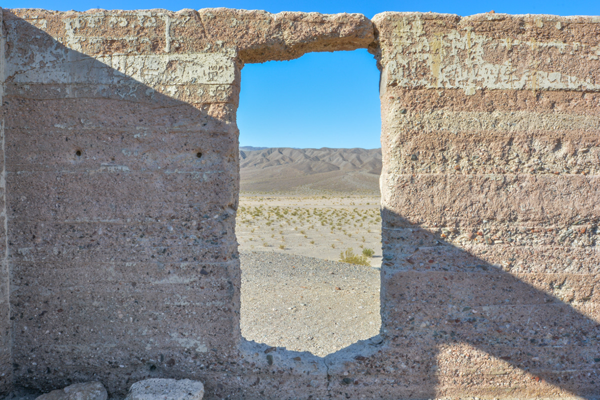
Concrete walls of the Ashford Mill frame the desert beyond.
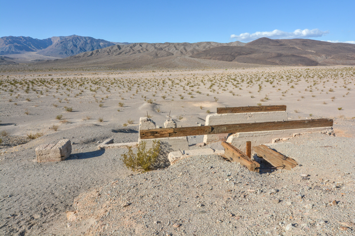
The remains of a foundation that once was part of the Ashford Mill that was used to crush ore that was hauled down from the Golden Treasure Mine five miles to the east.
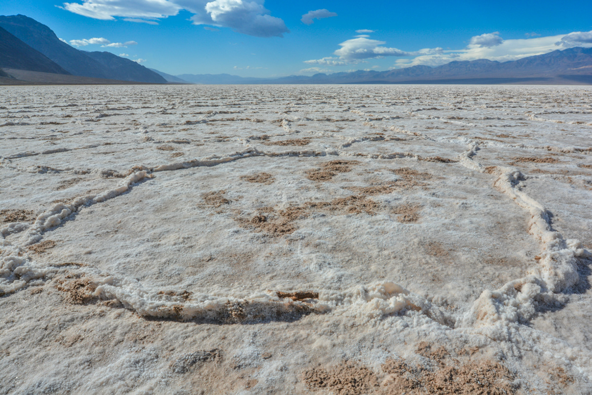
Looking northwest into Badwater Basin
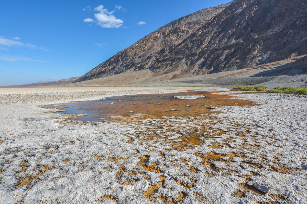
Badwater Pool

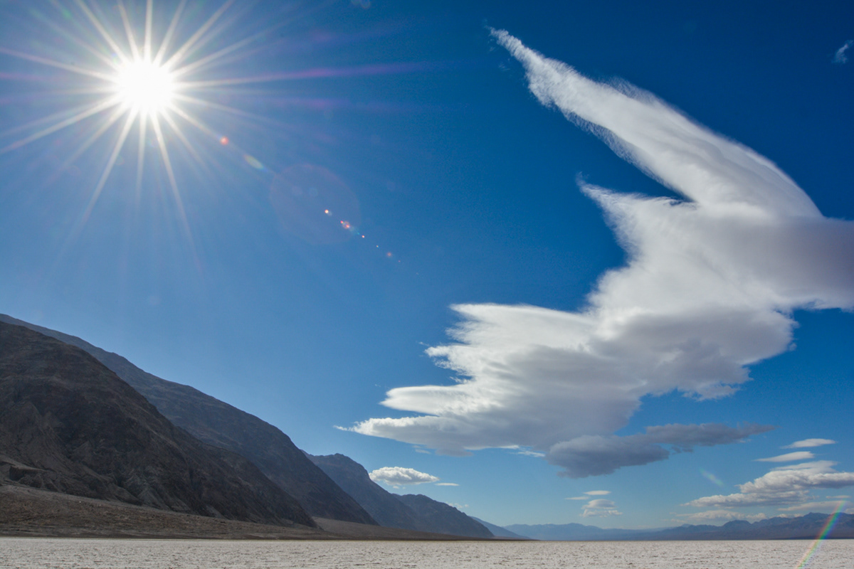
Pathway out to Badwater Basin with Telescope Peak (elev. 11,049 ft.) and the Panamint Range in the background.
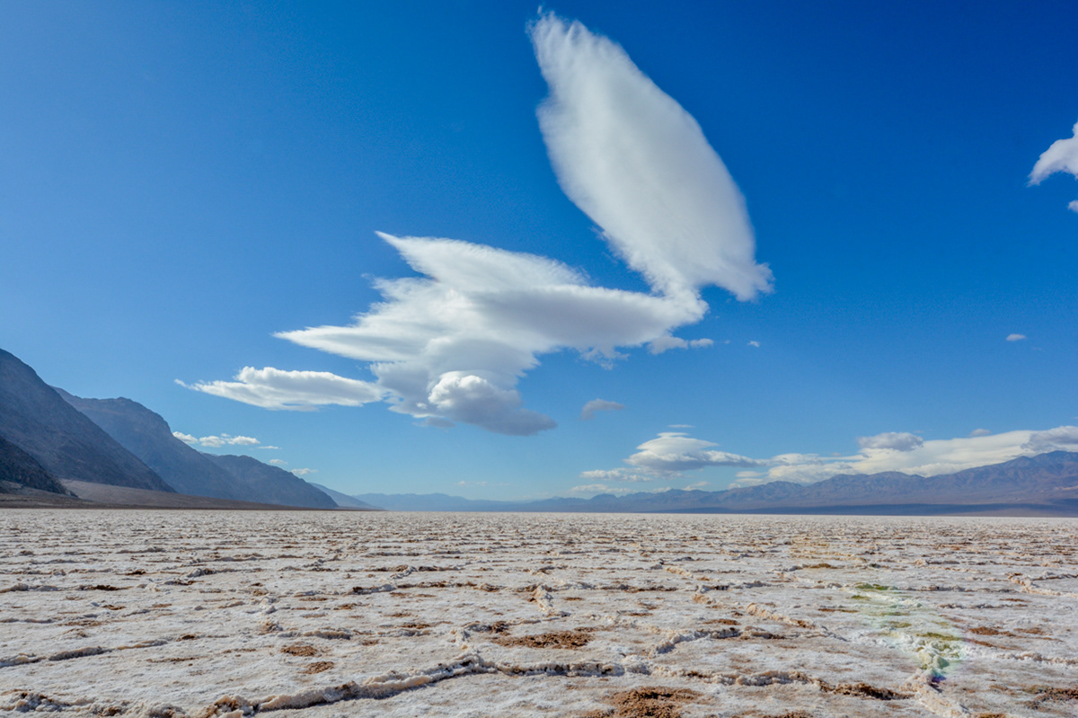
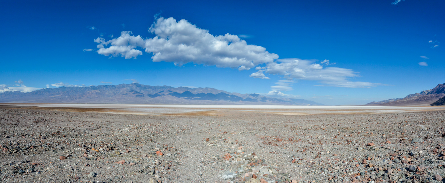
Looking south towards the Owlshead Mountains from the salt flats of Badwater Basin in the southern part of Death Valley.
Looking south towards the Owlshead Mountains from the salt flats of Badwater Basin in the southern part of Death Valley.
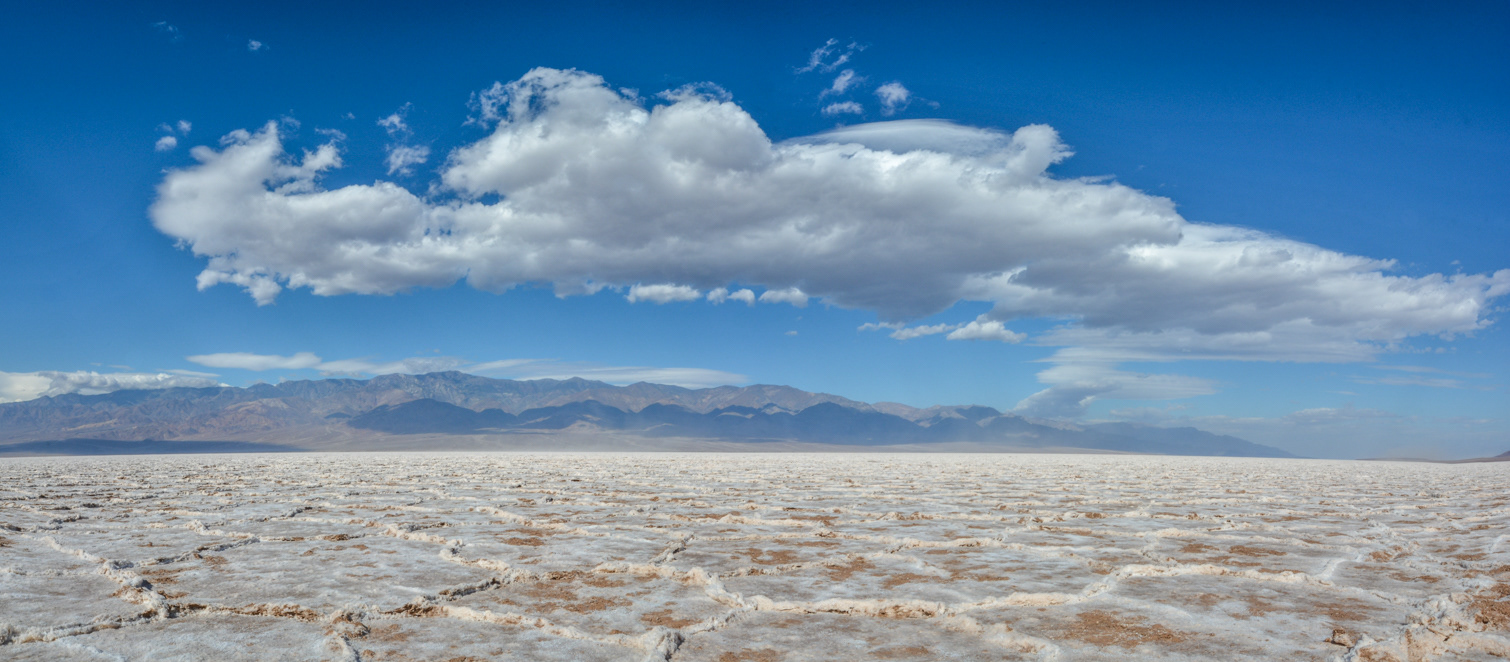
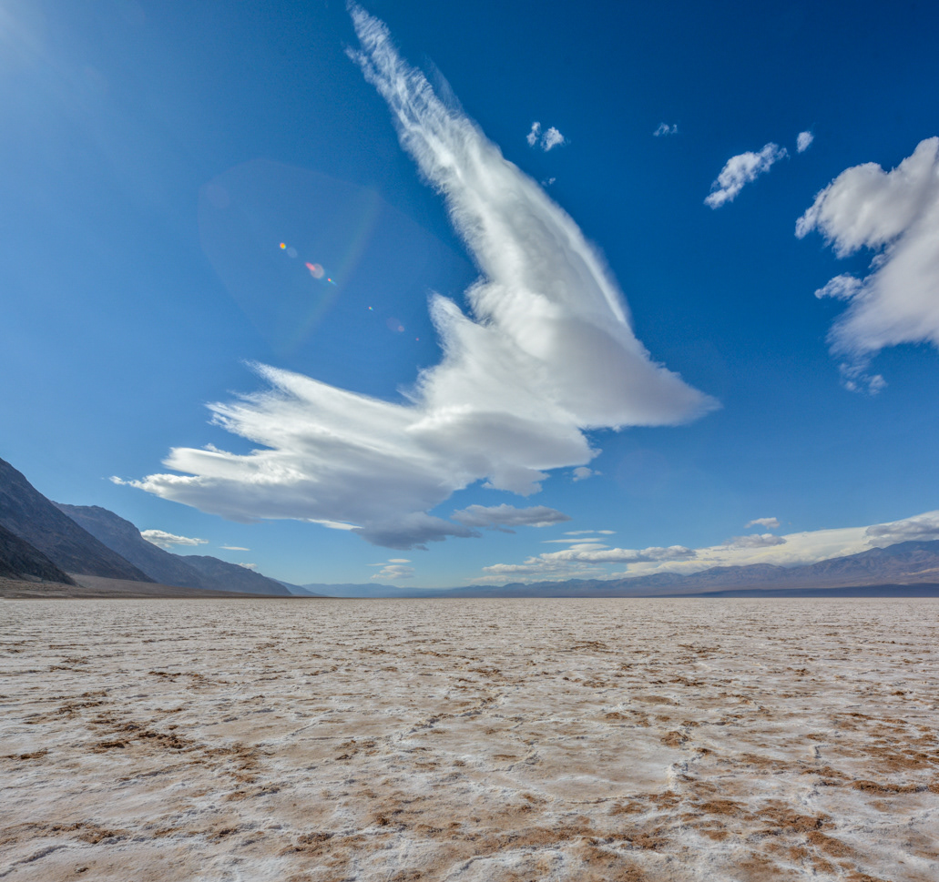
Looking west towards Telescope Peak (elev. 11,049 ft.) in the Panamint Range from the salt flats of Badwater Basin.

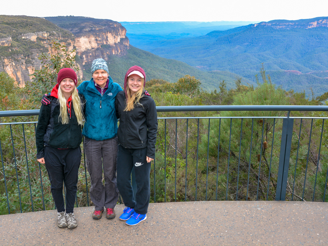
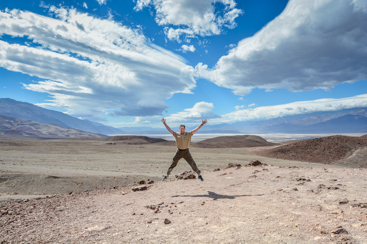
Me being me.
Looking south into Death Valley from the salt flats of Badwater Basin with the Black Mountains in the Amaragosa Range on the left.
Looking south towards the Owlshead Mountains from the salt flats of Badwater Basin in the southern part of Death Valley.
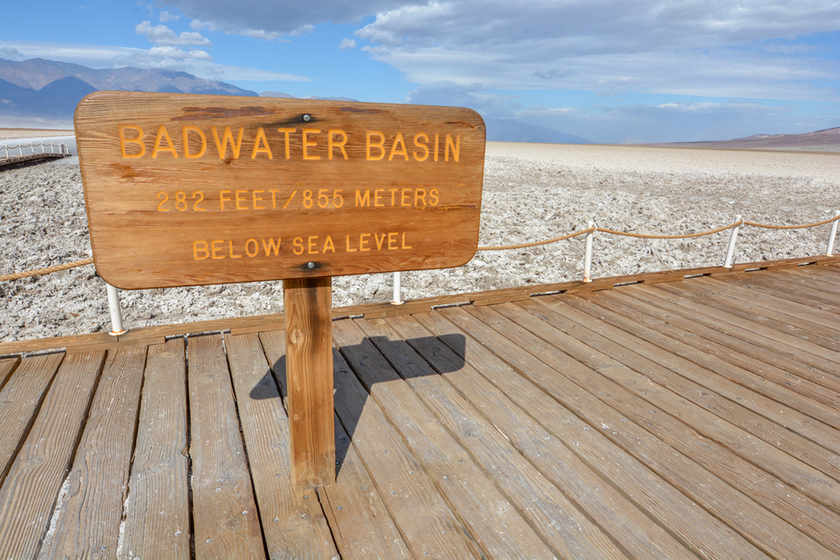
The lowest point in North America.
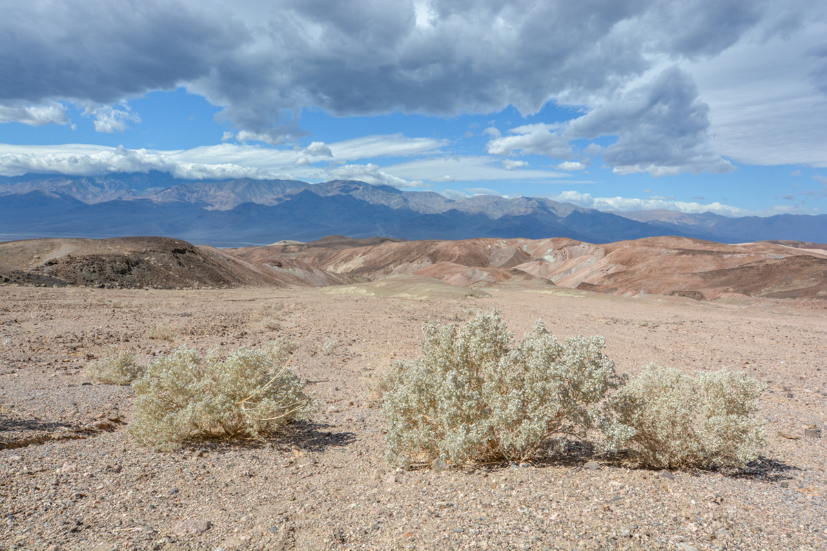
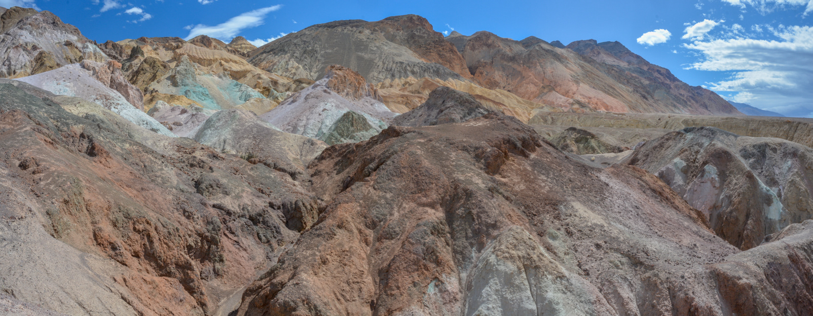
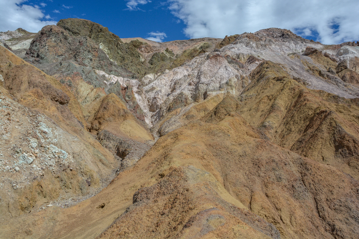
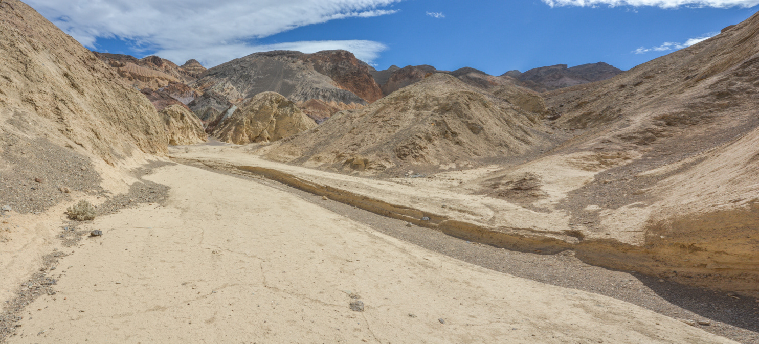
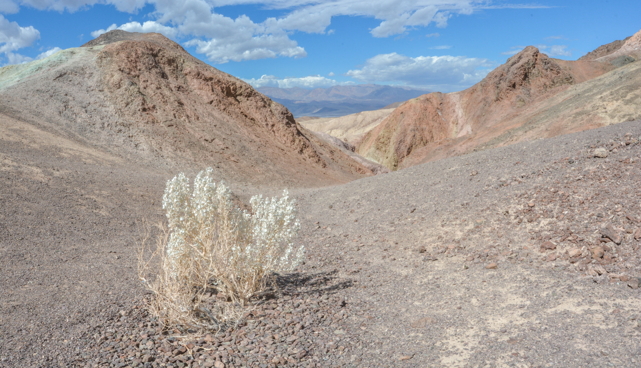
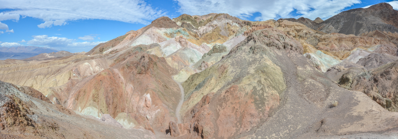
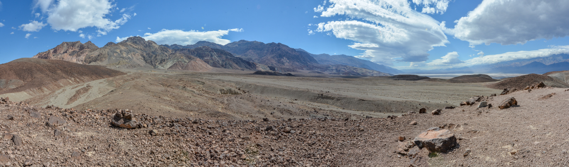
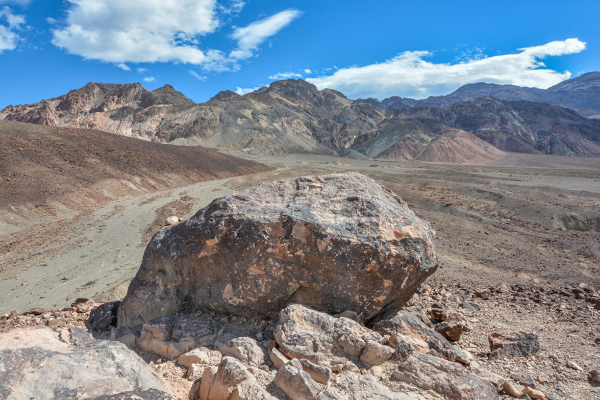
Looking south towards the Owlshead Mountains from Artists Drive in the southern part of Death Valley.
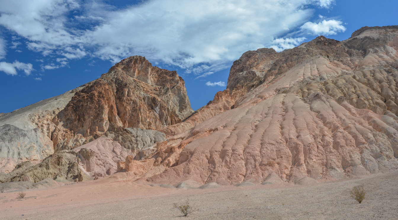
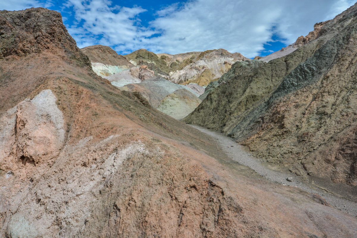
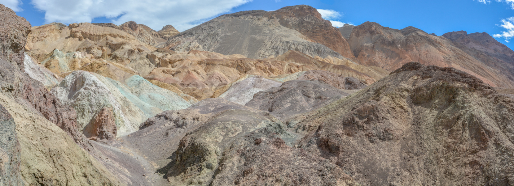
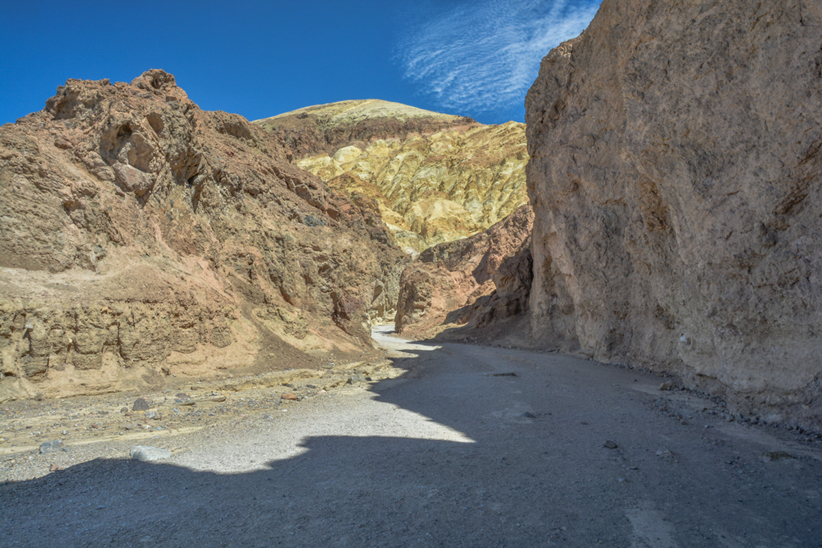
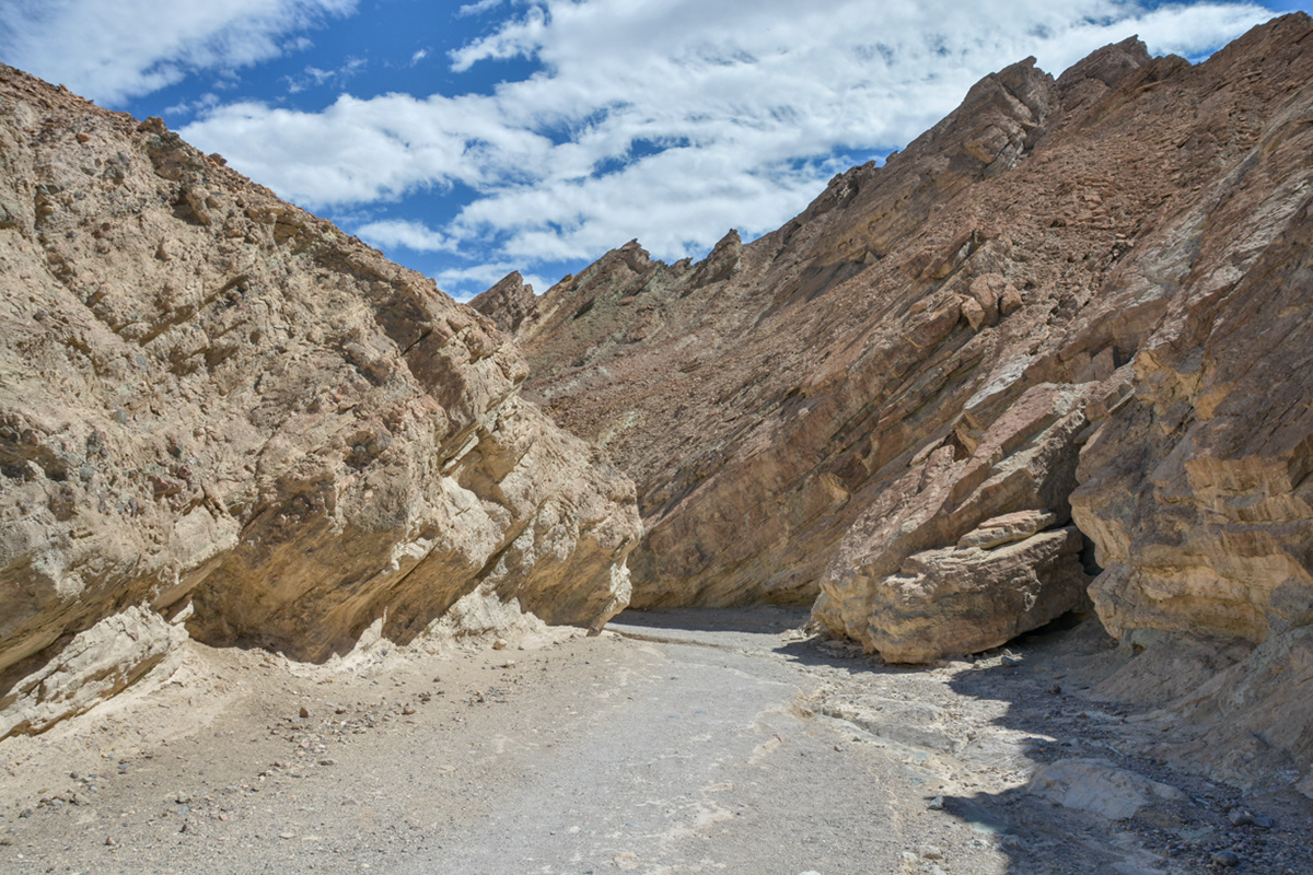
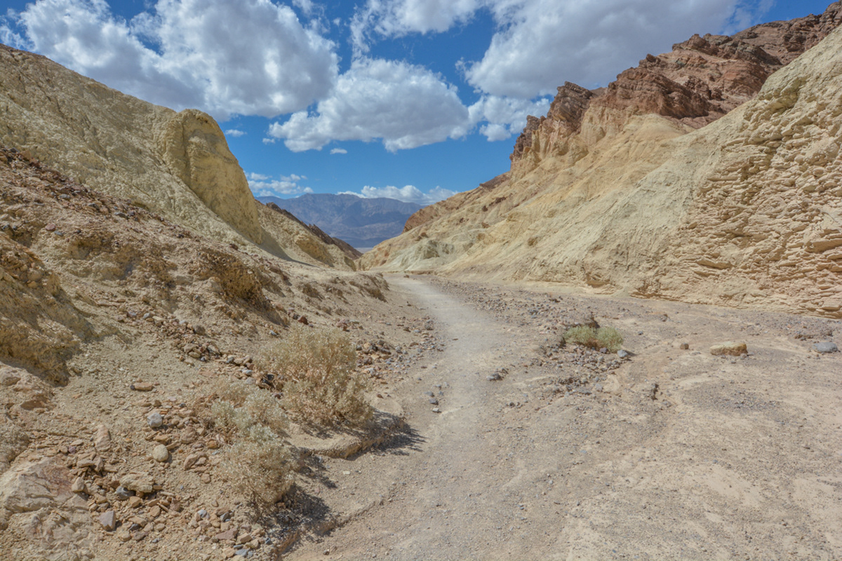
Looking southeast towards the Grapevine Mountains from Artists Drive.
Looking east towards the Grapevine Mountains from Artists Drive.