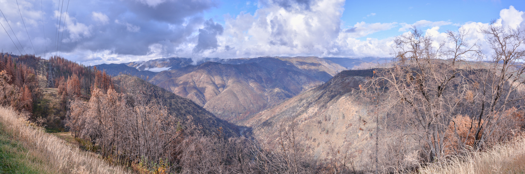
Looking north from the Tioga Pass (Highway 120) before the Big Oak Flat entrance to Yosemite National Park at the scars left by the Rim fire in 2013.
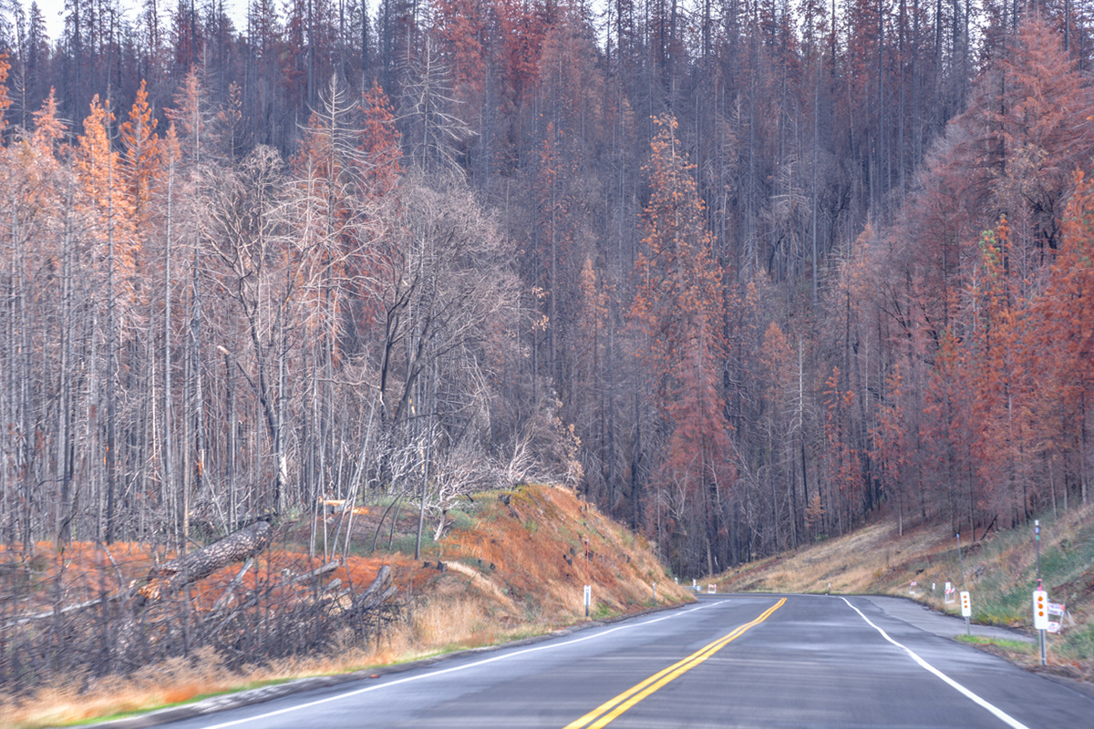
The Rim fire burned over 257,000 acres (402 square miles) and closed the Tioga Pass (Highway 120) and part of Yosemite National Park.
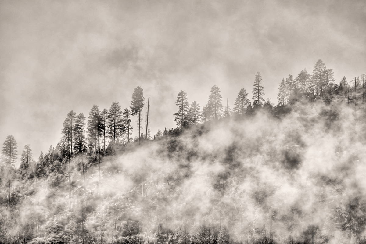
Logging conducted along the Tioga Pass (Highway 120) after the Rim fire salvaged approximately 210 million board feet of lumber and left most of the burned area untouched.
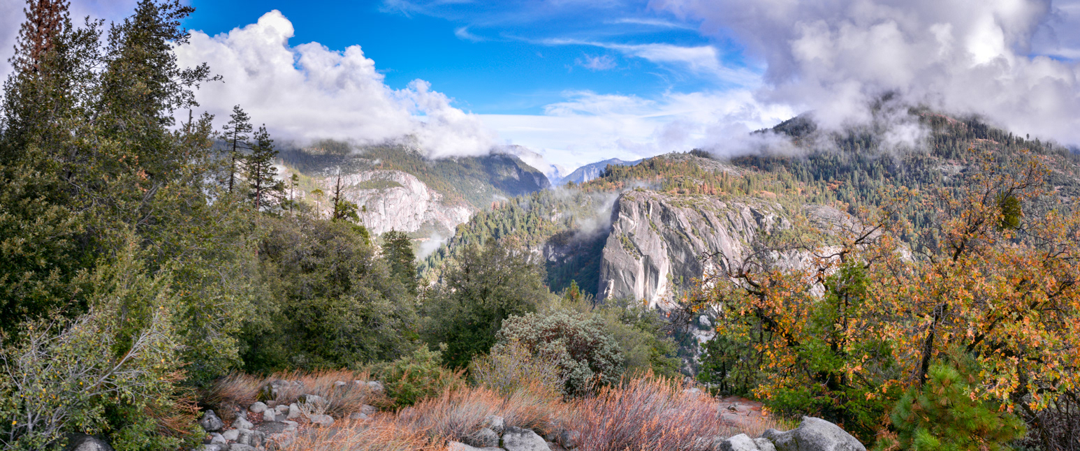
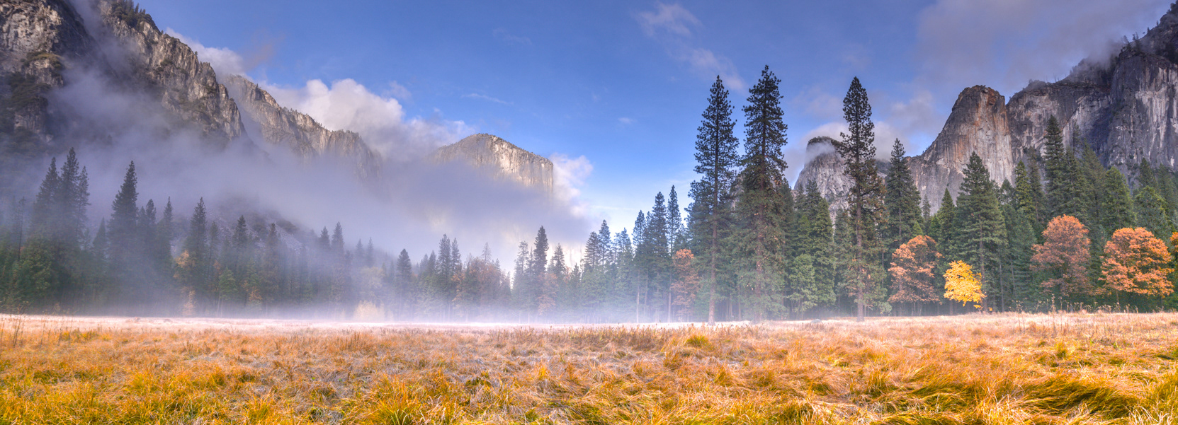
Looking east into Yosemite Valley from Half Dome View on Big Oak Flat Road.
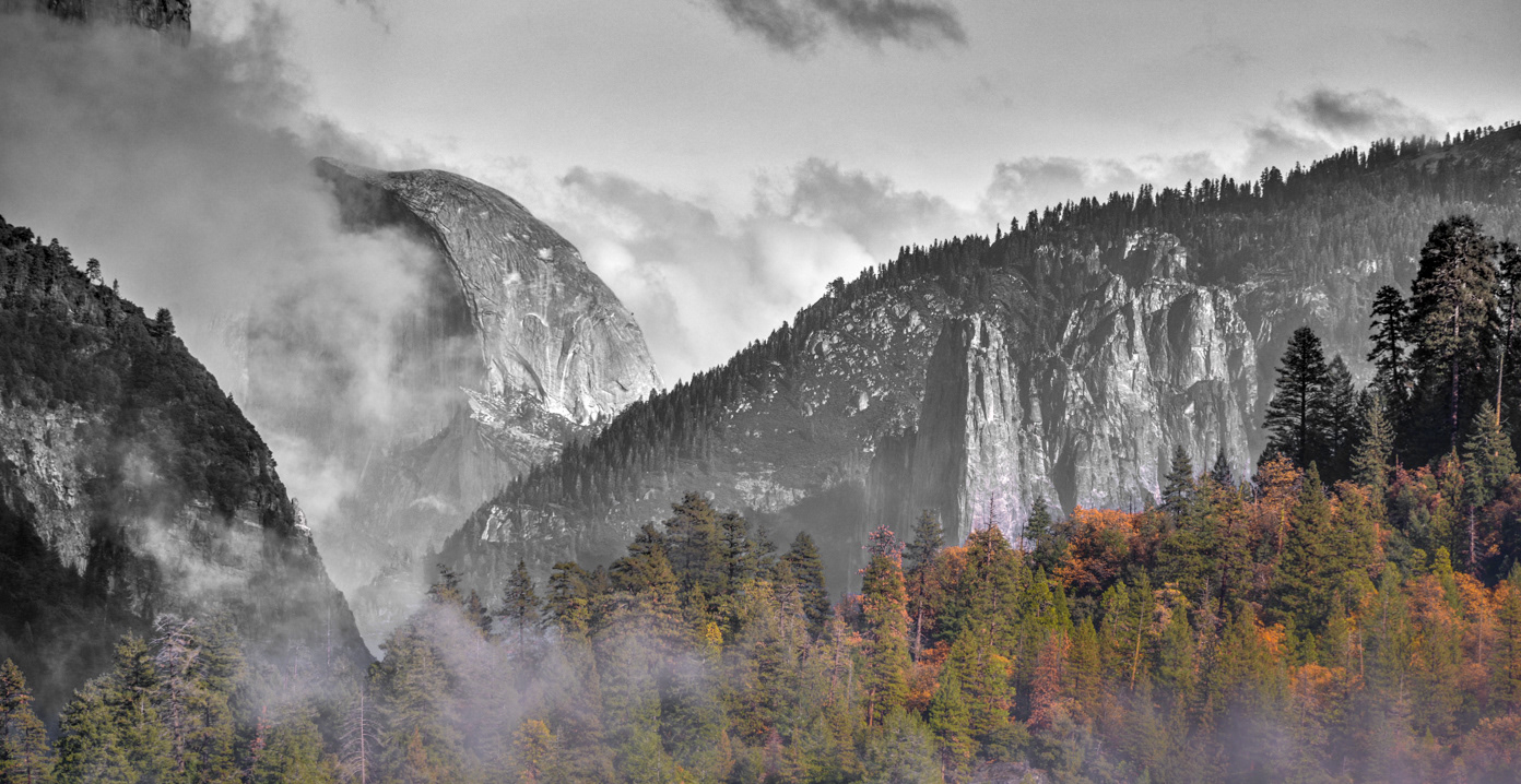
Half Dome from Half Dome View on Big Oak Flat Road.
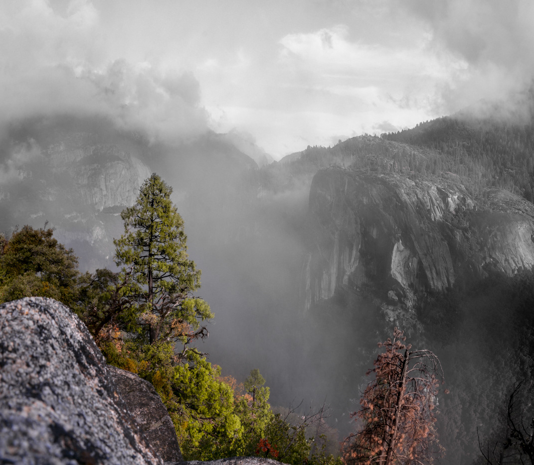
Looking east into Yosemite Valley from Half Dome View on Big Oak Flat Road.
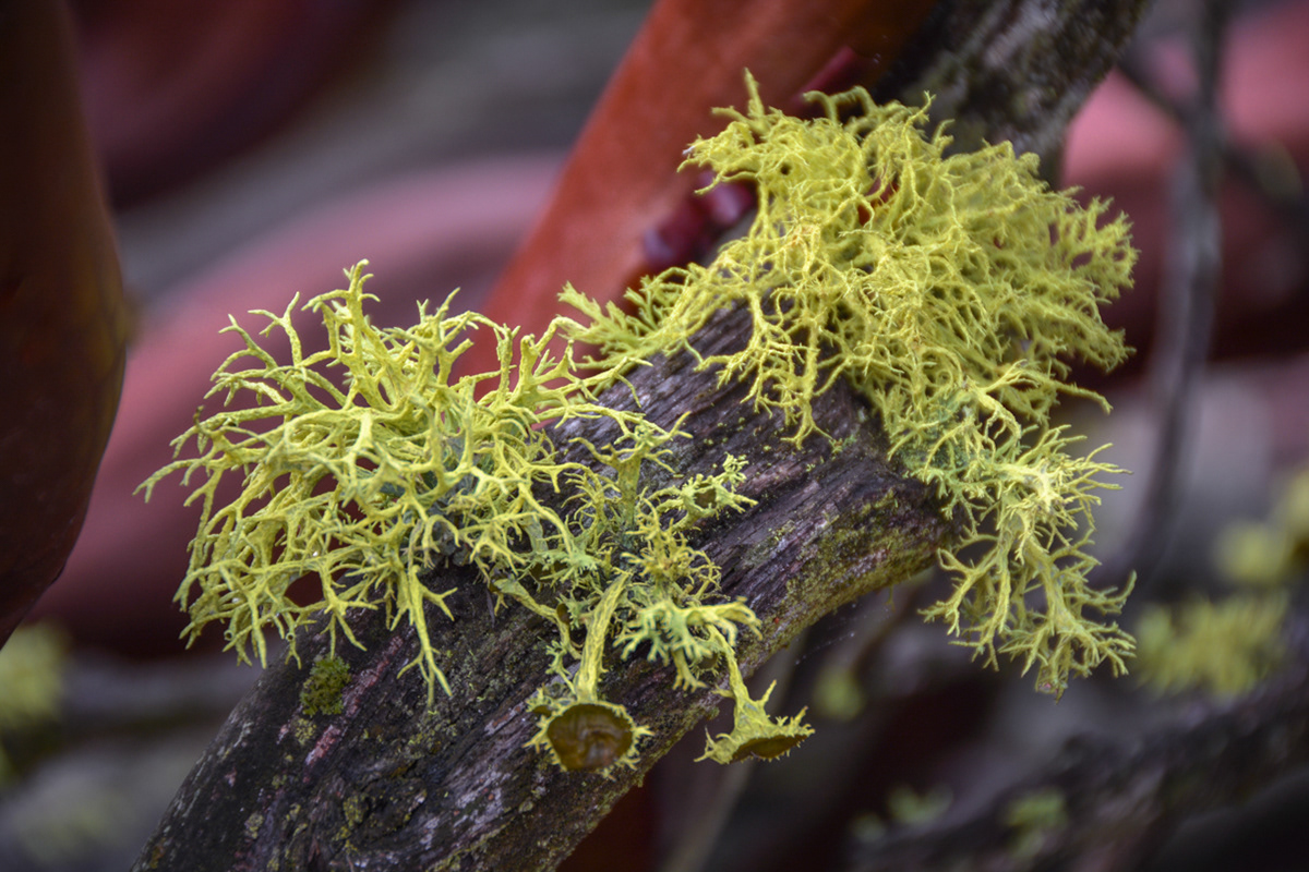
Wolf lichen growing on the end of a dead branch of a Manzanita shrub.

Looking east into Yosemite Valley from Half Dome View on Big Oak Flat Road.
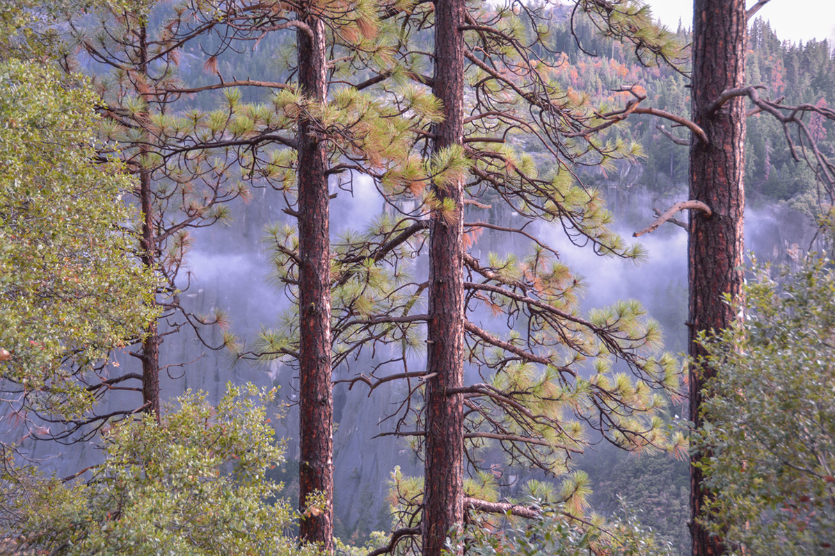
Ponderosa Pine trees at Half Dome View on Big Oak Flat Road.
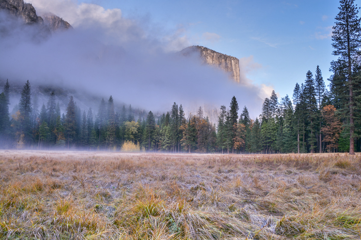
Looking across the valley at Elephant Rock from Big Oak Flat Road just above the Cascades.
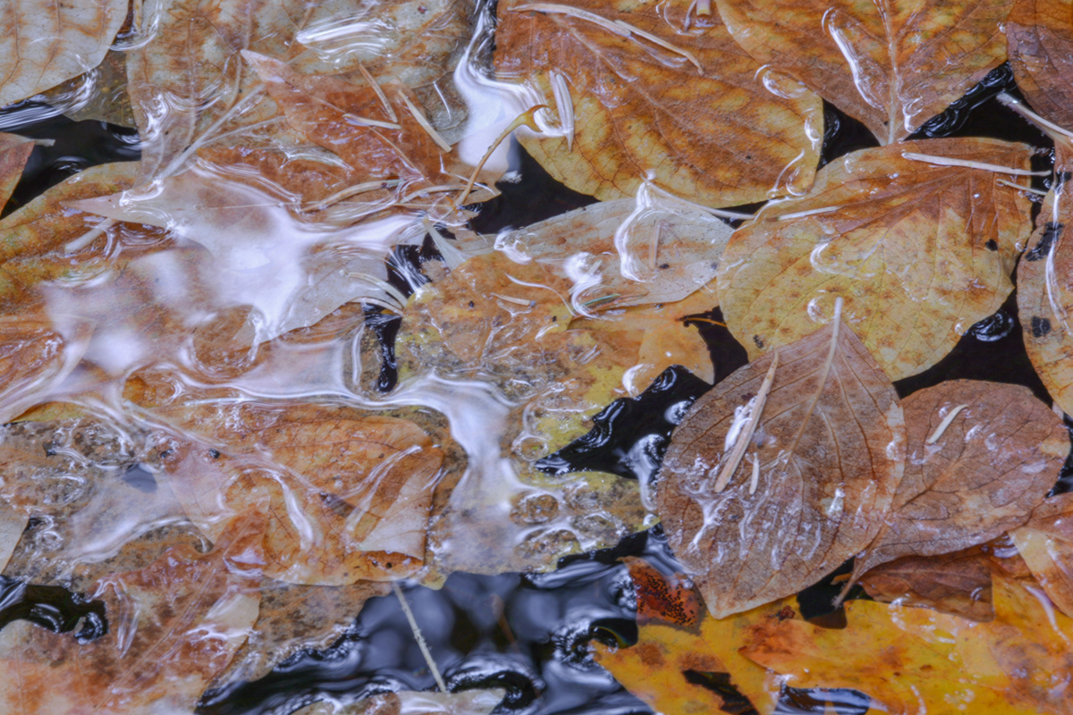
A thin layer of ice mixes in with fall leaves floating on the water at Fern Spring.
El Capitan from a field off of Southside Drive (37.717134, -119.660269).
El Capitan from a field off of Southside Drive (37.717134, -119.660269).
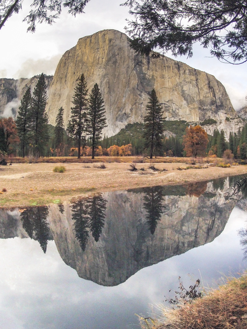
Reflection of El Capitan on the Merced River from the El Capitan Meadow off of Southside Drive.
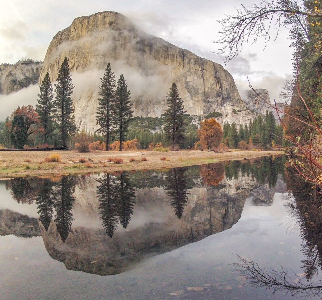
Reflection of El Capitan on the Merced River from the El Capitan Meadow off of Southside Drive.
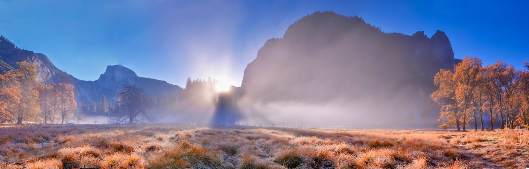
Sunrise over Half Dome just east of Yosemite Valley Lodge from a meadow off of Northside Drive (37.745767, -119.592297).
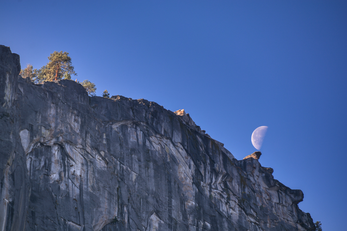
The moon balancing on Glacier Point from the Yosemite Valley Trailhead parking area off of Happy Isle Loop Road.
Looking towards Glacier Point (left) with Sierra Point in the fireground on the John Muir Trail.
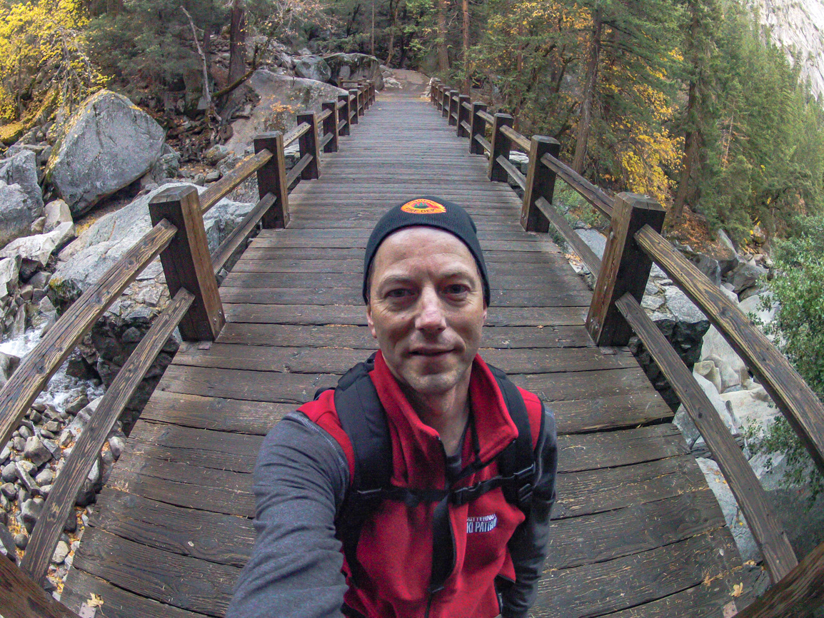
Vernal Falls bridge on the John Muir Trail.
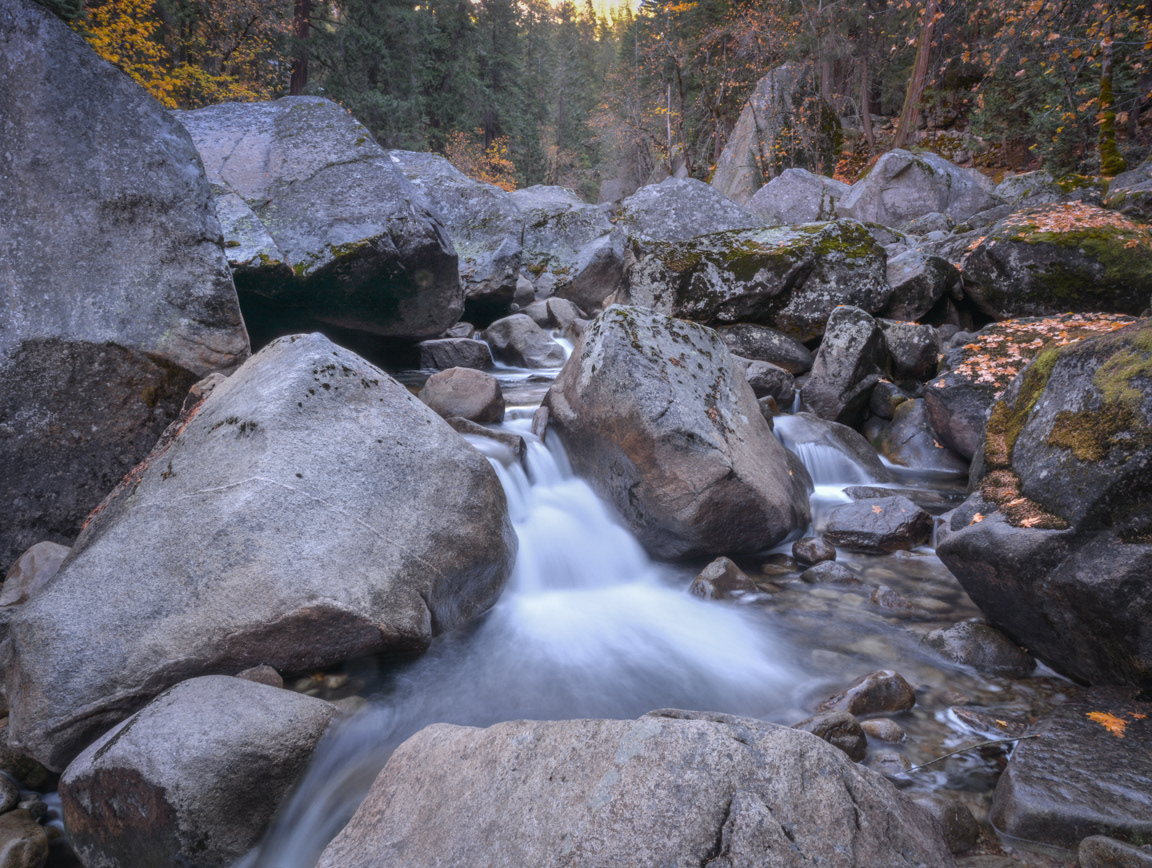
Waterfall on the Merced River just below Vernal Falls on the Mist Trail.
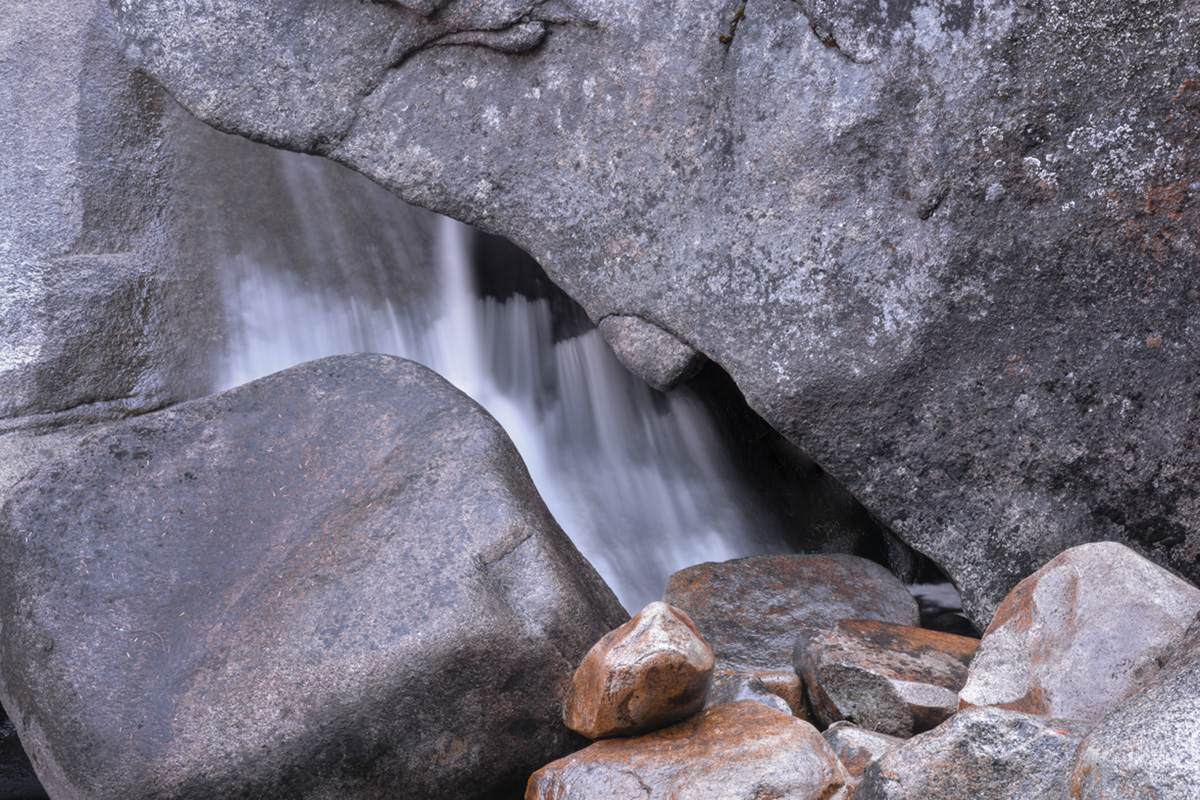
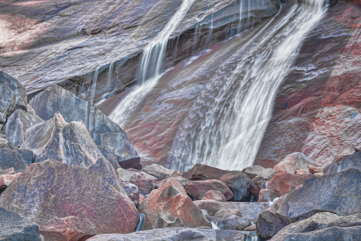
Water cascading through rocks on the Merced River just below Vernal Falls on the Mist Trail.
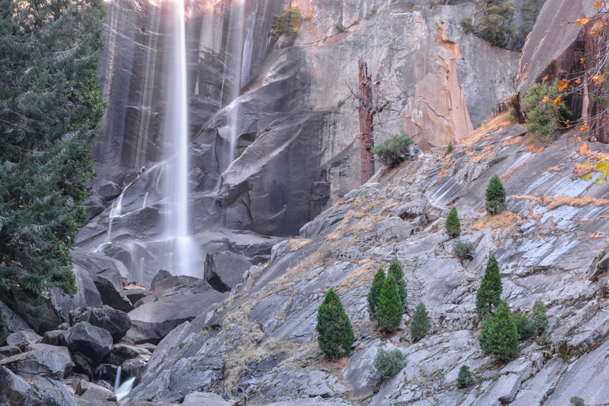
Vernal Falls on the Merced River from the Mist Trail.
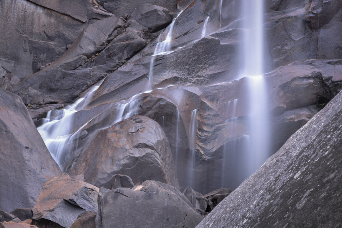
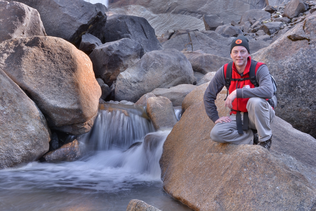
Base of Vernal Falls on the Merced River from the Mist Trail.
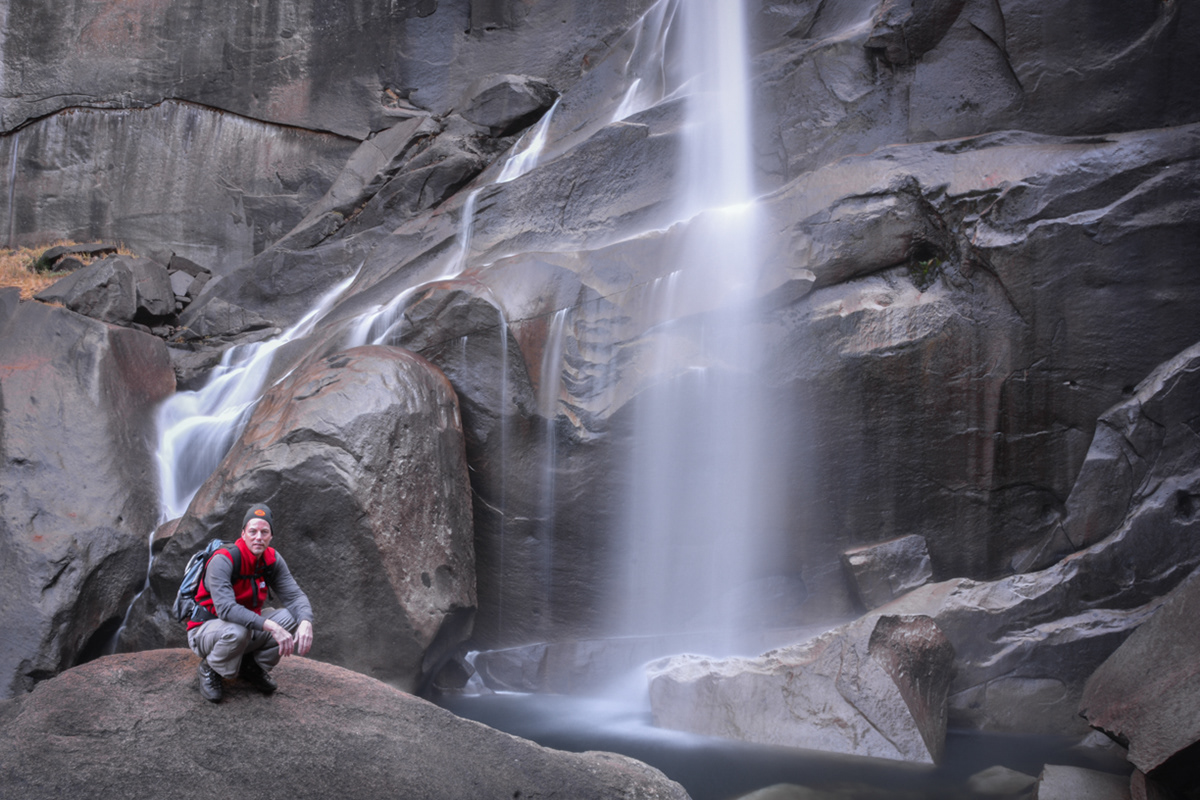
Base of Vernal Falls on the Merced River from the Mist Trail.
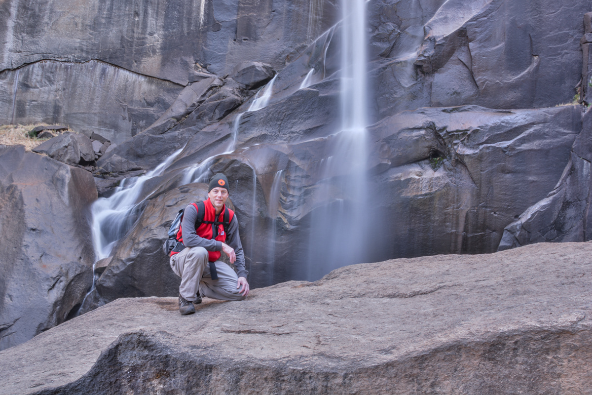
Base of Vernal Falls on the Merced River from the Mist Trail.
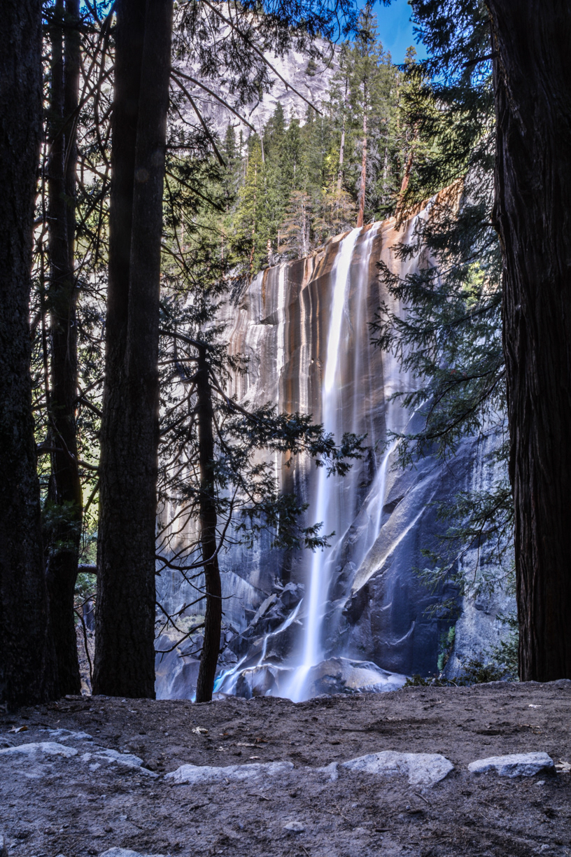
Vernal Falls on the Merced River from the Mist Trail.
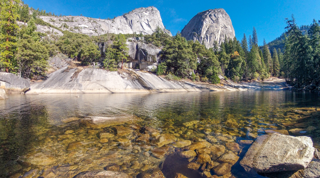
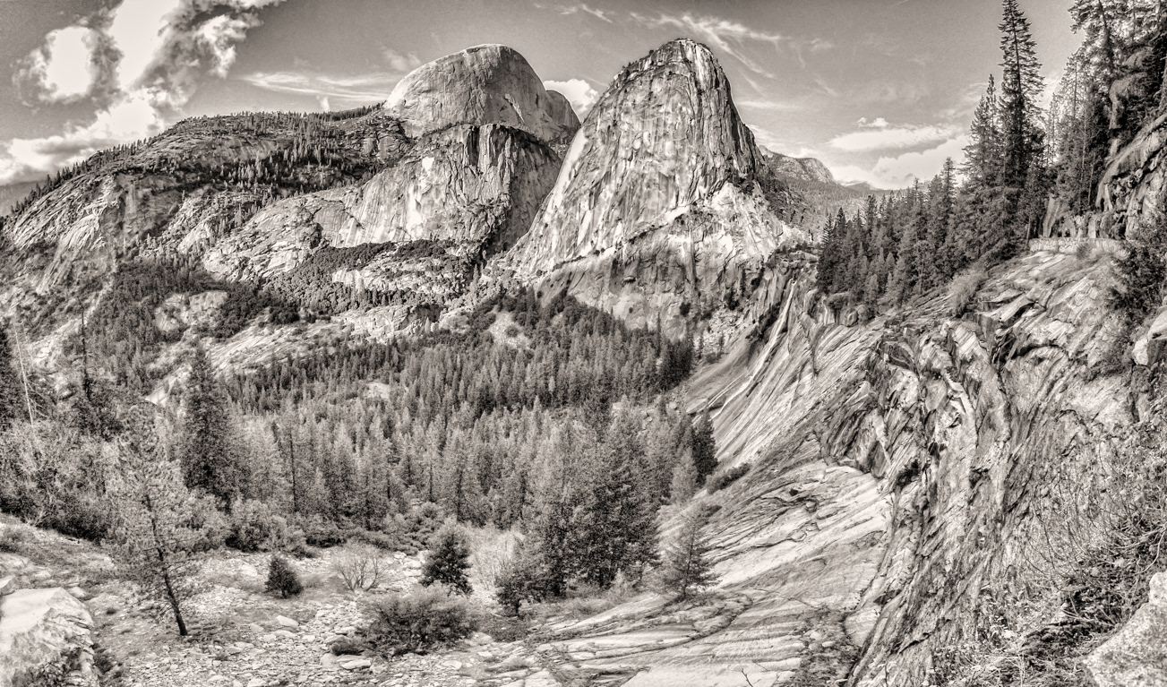
Mount Broderick (left) and Liberty Cap (right) from a pool just above Vernal Falls on the Mist Trail running along the Merced River.
The Silver Apron portion of the Merced River with Mount Broderick (left) and Liberty Cap (right) in the background just above Vernal Falls on the Mist Trail.

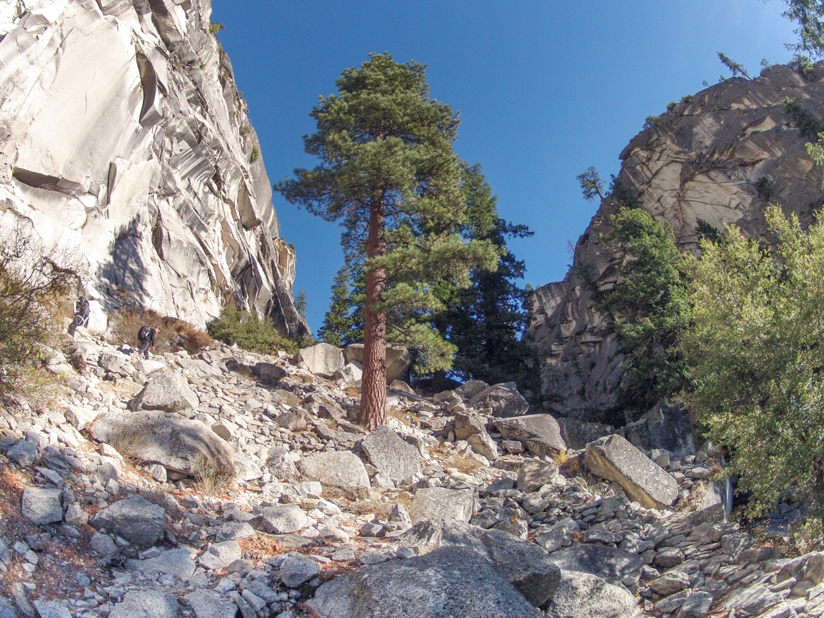
The Mist Trail just below Nevada Falls.
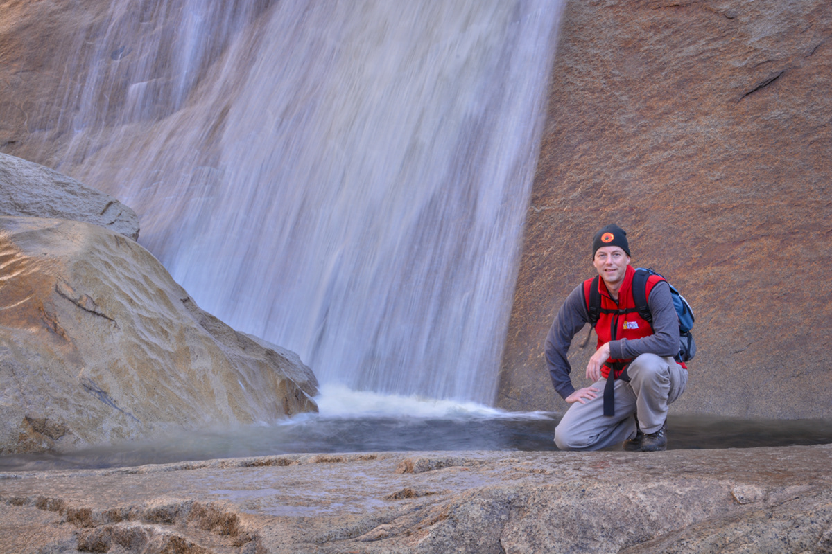
At the base of Nevada Falls on the Mist Trail.
The base of Nevada Falls on the Mist Trail.
At the base of Nevada Falls on the Mist Trail.
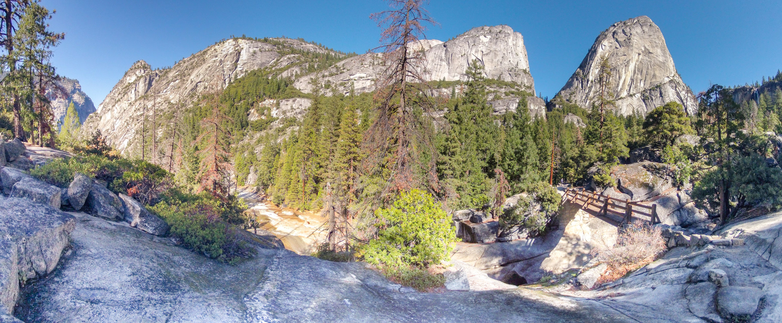
The Mist Trail between Liberty Cap (left) and Nevada Falls (right).
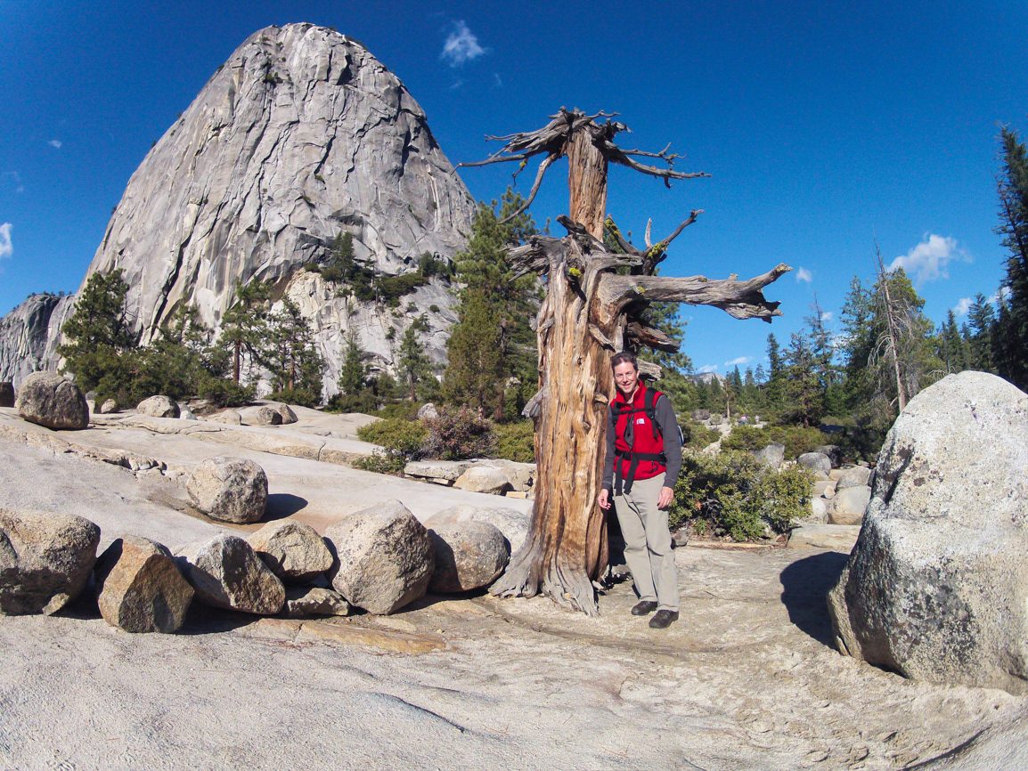
On the John Muir Trail just above Nevada Falls with Liberty Cap in the background.
Looking east towards Half Dome, Mount Broderick, Liberty Cap and Nevada Falls in Little Yosemite Valley from the John Muir Trail.
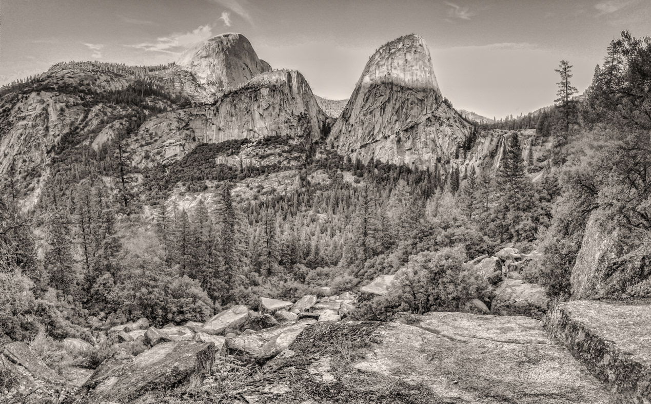
Looking east towards Half Dome, Mount Broderick, Liberty Cap and Nevada Falls in Little Yosemite Valley from the John Muir Trail.